The best running trails around Saint-Andéol-De-Fourchades
3.9
(8)
362
runners
33
runs
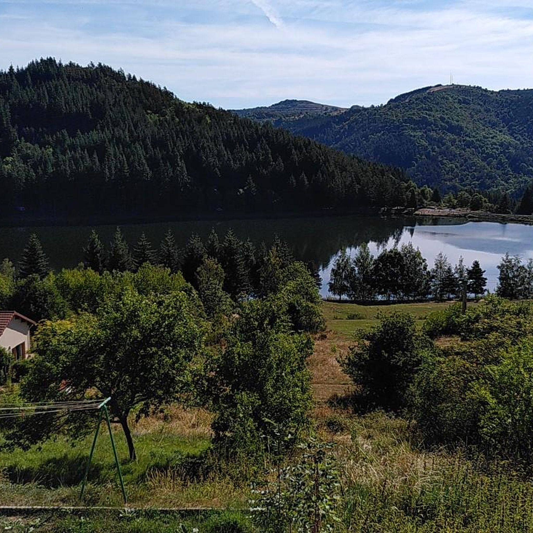
Jogging routes around Saint-Andéol-De-Fourchades traverse the central Ardèche mountains, a region characterized by its volcanic landscapes and diverse terrain. Situated at an altitude of 1029 meters, the area features prominent volcanic peaks, known as sucs, including those of Mézenc and Mont Gerbier de Jonc. Runners can explore routes through dense woodlands like the Forêt de la Faye and discover unique topographical features such as the cirque of Terrasses du hameau du Pras. The varied elevation and natural formations provide a…
Last updated: June 29, 2026
5.0
(1)
18
runners
20.5km
02:35
490m
490m
Hard run. Very good fitness required. Mostly paved surfaces. Suitable for all skill levels.
5
runners
8.91km
01:00
210m
200m
Moderate run. Good fitness required. Mostly paved surfaces. Suitable for all skill levels.

Sign up for free
5
runners
14.2km
01:50
540m
540m
Hard run. Very good fitness required. Mostly paved surfaces. Suitable for all skill levels.
5
runners
15.1km
02:01
640m
640m
Hard run. Very good fitness required. Mostly accessible paths. Some sure footedness required.
6
runners
7.79km
00:52
160m
160m
Moderate run. Good fitness required. Mostly paved surfaces. Suitable for all skill levels.
Get access to more routes and recommendations from other explorers.
Sign up for free
Already have an account?
Our route recommendations are based on thousands of hikes, rides, and runs completed by other people on komoot.
Start today with a free account
Your next adventure awaits.
Login or Signup
Tips from the Community

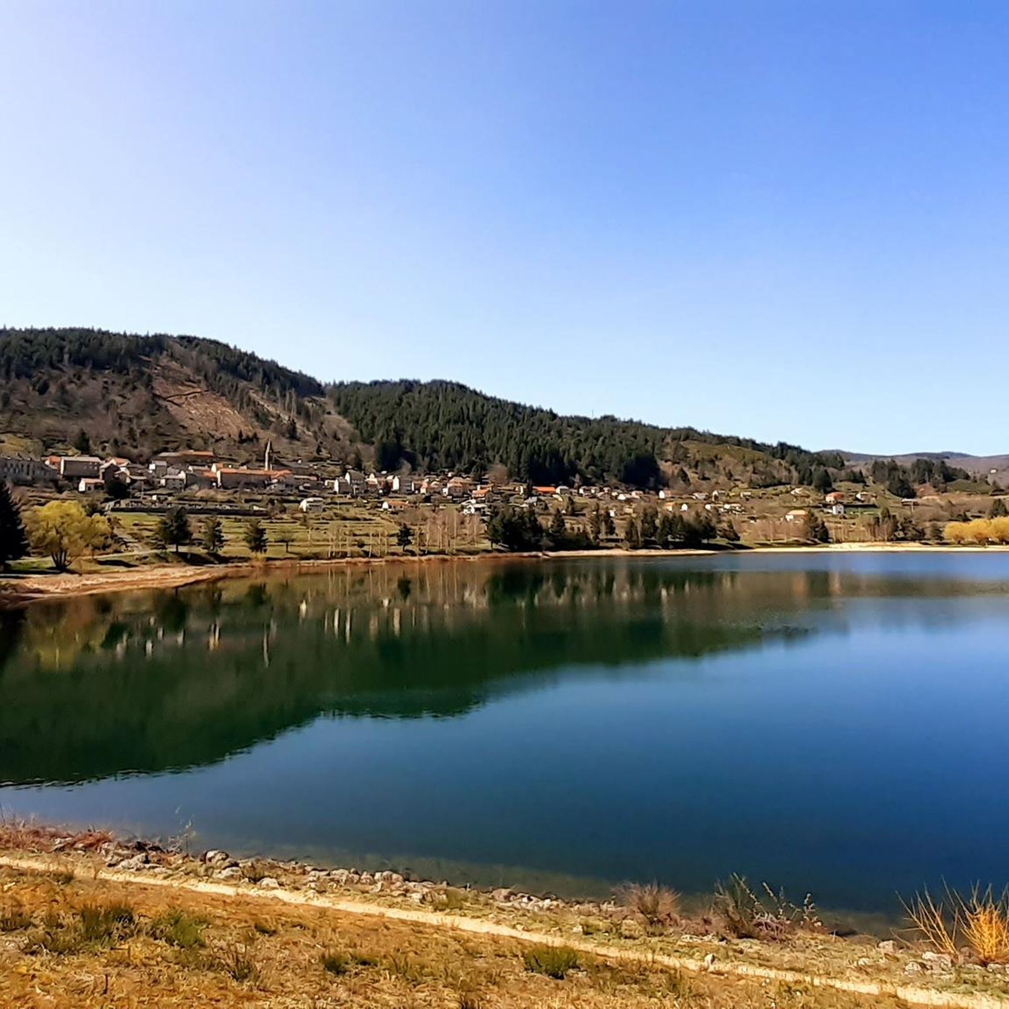
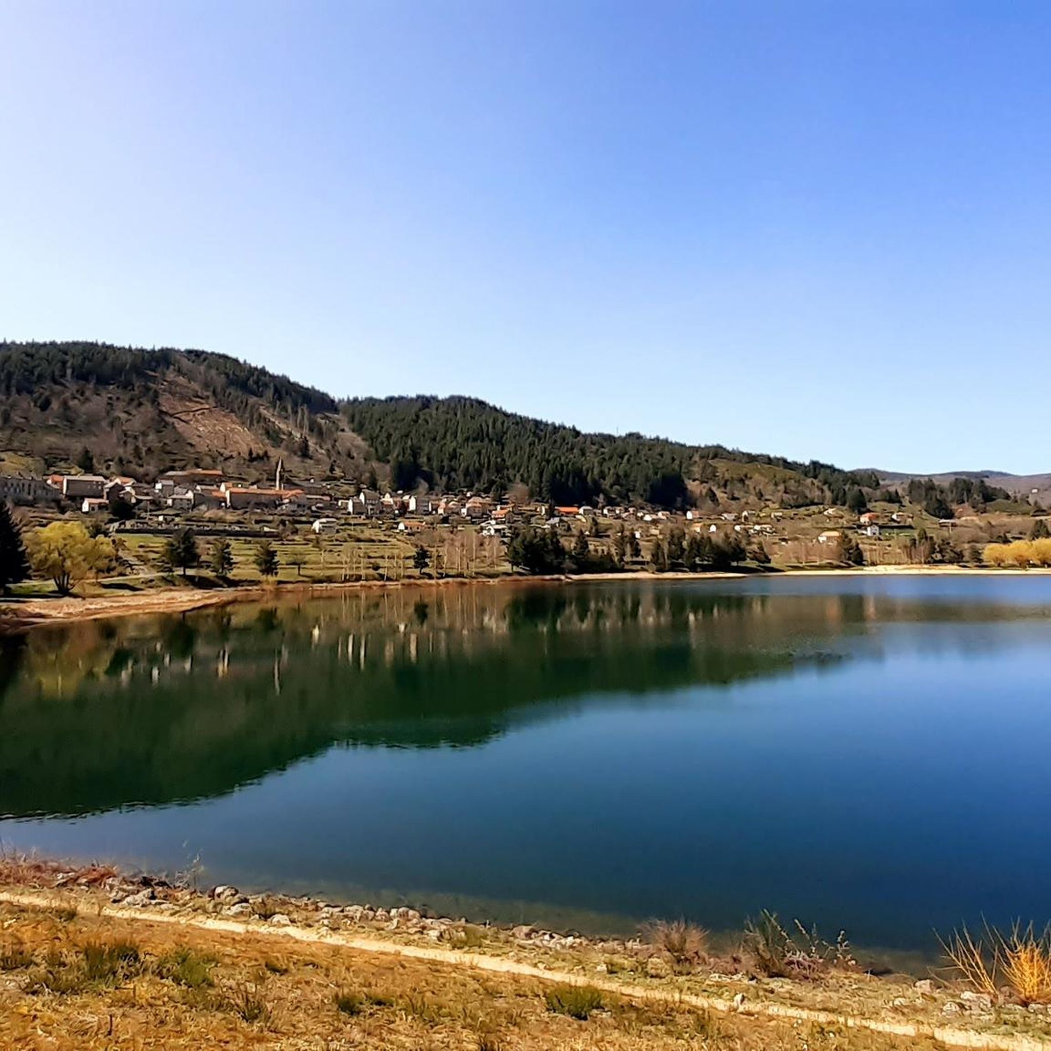
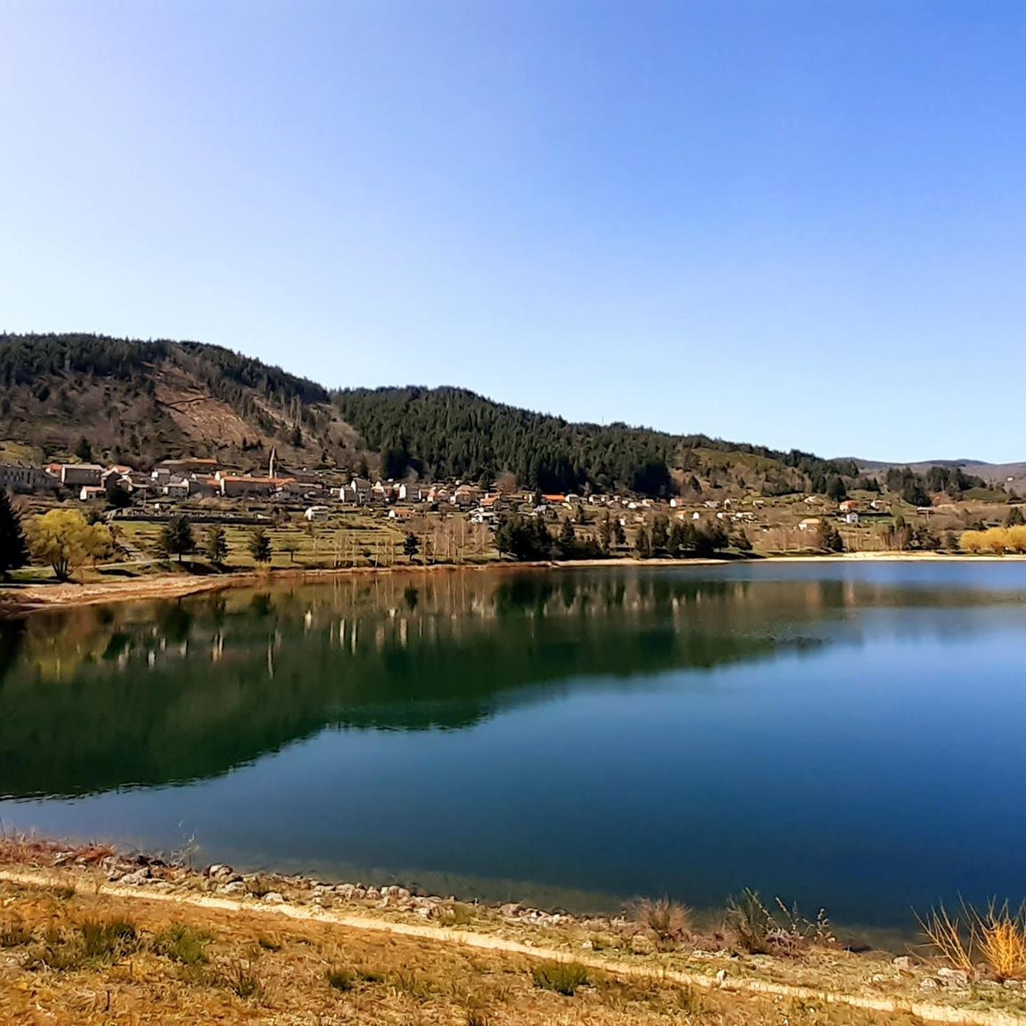
Anyone who wants to stop for a bite to eat should stop here. There are few alternatives. A Grand Café Creme and a generous sandwich for 8 euros.
1
1

The Suc de la Lauzière is an ancient volcano which peaks at an altitude of 1,582 metres. From its summit, you can observe Mont Gerbier de Jonc, well known for providing the source of the Loire.
1
0

The Col de Mézilhac from Le Cheylard is a frequent ascent in the Ardéchoise, a cyclosportive in June. The climb is 22 km long with a total elevation gain of 700 m. The average gradient is 3.18% with maximum gradients of 7.5%.
2
0
Frequently Asked Questions
How many running routes are available in Saint-Andéol-de-Fourchades?
There are over 30 dedicated running routes around Saint-Andéol-de-Fourchades, offering a wide range of experiences from easy paths to more challenging runs through the mountainous terrain.
What kind of terrain can I expect on the jogging routes?
The routes in Saint-Andéol-de-Fourchades traverse the central Ardèche mountains, featuring diverse terrain. You'll encounter volcanic landscapes with prominent peaks like those of Mézenc, dense woodlands such as the Forêt de la Faye, and varied mountain paths. The area is known for its significant elevation changes and stunning natural formations.
Are there any easy or moderate running trails for beginners or those seeking a less strenuous run?
Yes, Saint-Andéol-de-Fourchades offers routes suitable for various fitness levels. While many are challenging, there are 13 moderate and 2 easy routes. For a balanced experience with moderate elevation changes, consider the Running loop from Saint-Martial, which is 8.9 km long.
What are some notable natural features or landmarks I might see while jogging?
The region is rich in natural beauty. You can explore routes near volcanic peaks like the South summit of Mont Mézenc and Mount Gerbier de Jonc, the source of the River Loire. The area also features the picturesque cirque of Terrasses du hameau du Pras and mountain lakes such as Lac d'Issarlès and Lac de Saint Martial. Don't miss the impressive Ray-Pic Waterfall.
Are there any circular running routes available?
Yes, many of the running routes in the area are circular. For example, the Table d'interprétation loop from Lachamp-Raphaël is a moderate 7.8 km circular trail, perfect for exploring the local scenery.
What do other runners enjoy most about jogging in Saint-Andéol-de-Fourchades?
The running routes in Saint-Andéol-de-Fourchades are highly rated by the komoot community, with an average score of 3.3 stars. Runners often praise the wild and untouched landscapes, the diverse flora and fauna, and the challenging yet rewarding mountainous terrain that offers stunning views.
Can I find routes that offer panoramic views of the volcanic landscape?
Absolutely. The region is at the doorstep of the volcanic peaks (sucs) of Mézenc. Routes like the Col de Mézilhac (1,119 m) loop from Lachamp-Raphaël will take you through mountainous terrain, providing excellent opportunities for panoramic vistas of the dramatic volcanic scenery.
Are there any longer, more challenging running trails for experienced runners?
Yes, for experienced runners seeking a challenge, there are 17 difficult routes. The Suc de la Lauzière loop from Sainte-Eulalie is a difficult 20.5 km trail featuring significant elevation gain through volcanic landscapes, typically taking over 2.5 hours to complete.
What is the best time of year to go jogging in this region?
The central Ardèche mountains offer a refreshing environment, especially given Saint-Andéol-de-Fourchades's altitude of 1029 meters. Spring and autumn generally provide pleasant temperatures and vibrant scenery, while summer can be ideal for higher altitude runs. Always check local weather conditions before heading out.
Are there any cultural or historical sites near the running paths?
Beyond natural beauty, the area has cultural points of interest. You might encounter traditional Ardèche farmhouses like Ferme de Bourlatier, or the village's Gothic church with its historic 'miraculous water' well. The ancient fortified settlement of Oppidum de la Fare also offers a glimpse into the region's past.
Are there any routes that pass by the Mont Gerbier de Jonc?
Yes, some routes in the broader area will bring you close to or offer views of Mont Gerbier de Jonc, a prominent volcanic peak known as the source of the River Loire and offering panoramic vistas. While not directly on every route, its presence defines the regional landscape.
What is the longest difficult running route in the area?
One of the longest difficult routes is the Suc de Montivernoux – Col de Mézilhac (1,119 m) loop from Mézilhac. This challenging trail spans over 15 km and involves significant elevation changes, making it suitable for experienced runners.
Most popular routes around Saint-Andéol-De-Fourchades
Most popular attractions around Saint-Andéol-De-Fourchades

Get inspired with the komoot mobile app


Explore more
Browse the best Running Trails & Routes in other regions.
