The best walks and hikes around Belfort-Sur-Rebenty
4.6
(214)
1,231
hikers
31
hikes
Hiking around Belfort-Sur-Rebenty offers diverse trails within the Aude department of the Occitanie region, characterized by its Pyrenean landscapes. The area features the scenic Rébenty Valley, with numerous streams and gorges, alongside lush forests and picturesque lakes like Lac du Diable. Hikers can explore varied terrain, from winding river paths to ascents up hills such as Pic du Han and Roc Blanc, providing panoramic views. Plateaus at approximately 800 meters altitude and various mountain passes also contribute to the region's…
Last updated: July 4, 2026
4.7
(3)
31
hikers
Moderate hike. Good fitness required. Easily-accessible paths. Suitable for all skill levels.
2.5
(2)
26
hikers
6.68km
02:20
370m
370m
Moderate hike. Good fitness required. Easily-accessible paths. Suitable for all skill levels.

Sign up for free
5.0
(3)
20
hikers
10.4km
03:01
280m
280m
Moderate hike. Good fitness required. Easily-accessible paths. Suitable for all skill levels.
4.7
(3)
12
hikers
6.19km
01:53
210m
210m
Easy hike. Great for any fitness level. Easily-accessible paths. Suitable for all skill levels.
5.0
(1)
6
hikers
7.13km
02:07
220m
220m
Moderate hike. Good fitness required. Easily-accessible paths. Suitable for all skill levels.
Get access to more routes and recommendations from other explorers.
Sign up for free
Already have an account?
Our route recommendations are based on thousands of hikes, rides, and runs completed by other people on komoot.
Start today with a free account
Your next adventure awaits.
Login or Signup
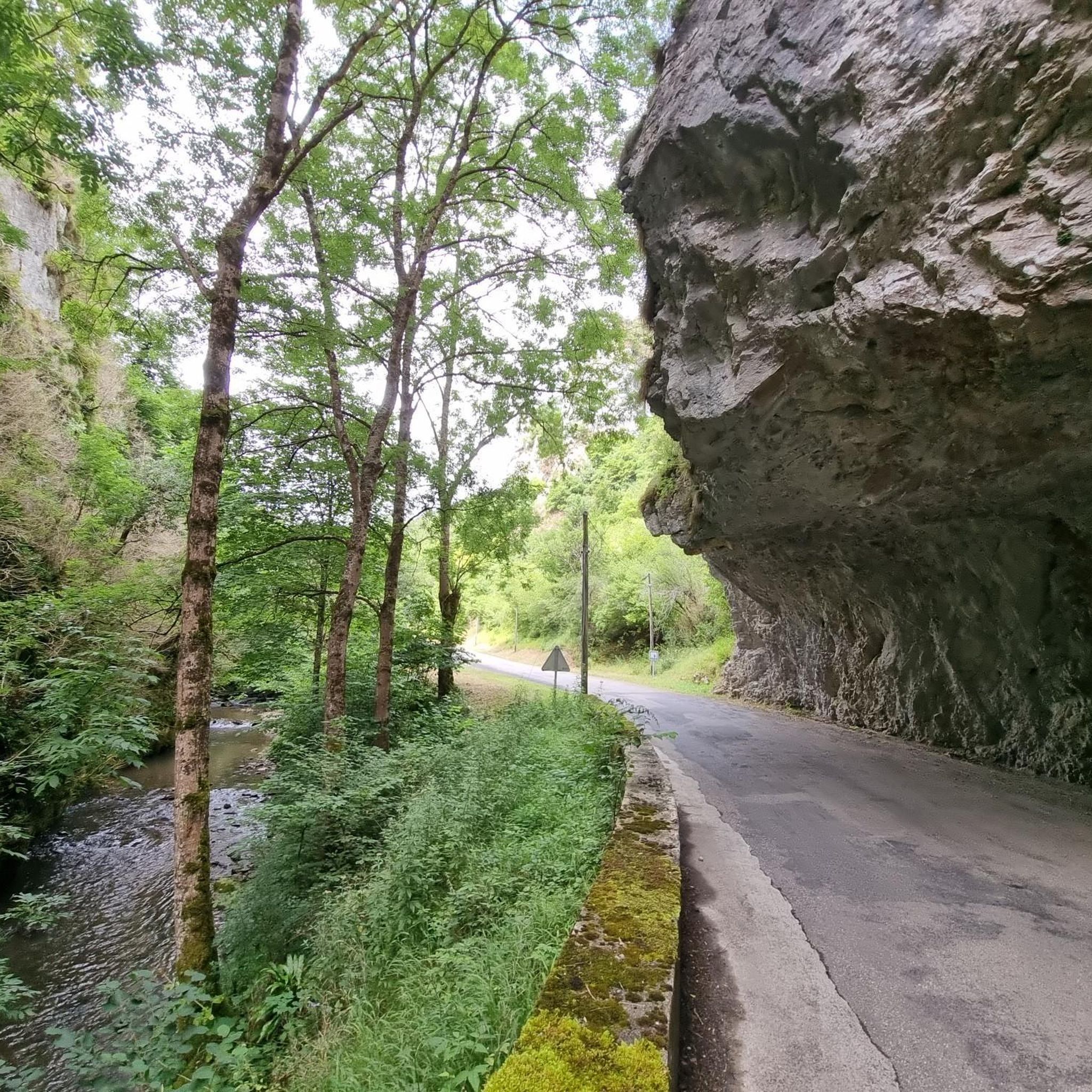

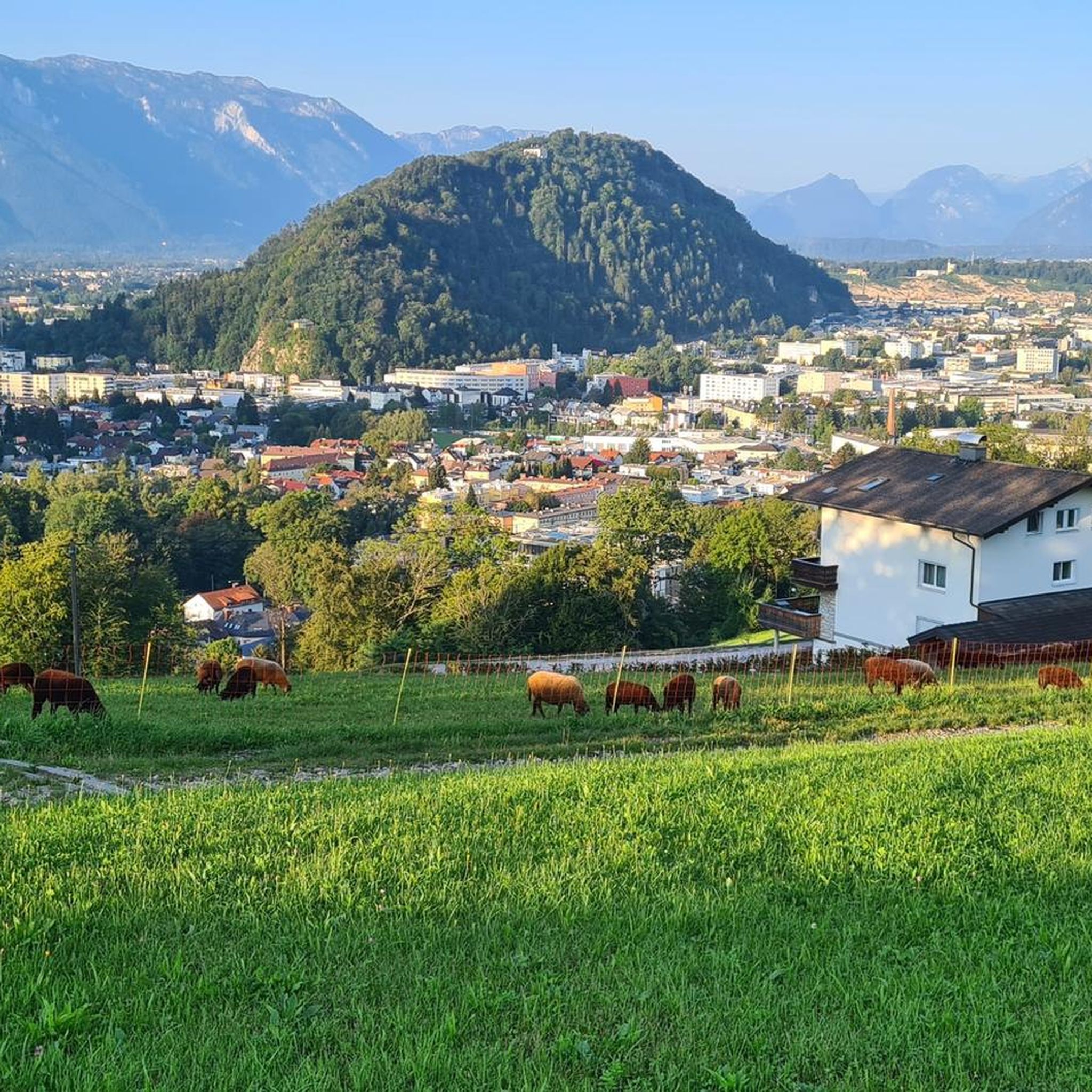
Tips from the Community

Nice climb, there are signs at the rocky parts, if the top is in the clouds the trails are also slippery, but it is more than worth the nice climb.
16
0

360 degree view of the Pays de Sault
0
0

Viewpoint with a wide view of Puivert
1
0

Great view the climb is easy to do. Maybe push something in the last few meters ...
4
0
From the French Wikipedia: "In April 1944, Maury's (Colonel of the Maquis du Picaussel resistance group) set up a command post in the Lescale Cave for men who had been hounded by the Gestapo."
2
0

Unfortunately, the weather was not very far-sighted ...
2
0
Partially very exposed, therefore at least S2 classification m.E.
2
0
Frequently Asked Questions
How many hiking trails are available around Belfort-sur-Rebenty?
There are over 35 hiking trails in the Belfort-sur-Rebenty area, catering to various skill levels. The komoot community has rated these routes highly, with an average score of 4.6 stars from over 200 reviews.
Are there easy hiking trails suitable for beginners in Belfort-sur-Rebenty?
Yes, Belfort-sur-Rebenty offers 8 easy hiking trails perfect for beginners or those looking for a relaxed stroll. One such option is the Pic de sarasi pays de sault loop from Roquefeuil, which is 6.2 km long and takes approximately 1 hour 50 minutes to complete.
What is the typical duration for hikes in the Belfort-sur-Rebenty area?
Hikes in the region vary in duration. Many moderate trails, like the Picaussel Sinkhole – View of Puivert loop from L'Escale, take around 2 hours 20 minutes. Longer, more challenging routes can extend to 3 hours or more, such as the Pic du Midi de Roquefeuil – Pic de sarasi pays de sault loop from Roquefeuil, which typically takes 3 hours 18 minutes.
Are there any challenging hikes for experienced trekkers?
For experienced hikers seeking a challenge, the region offers routes with significant ascents. The ascent to Roc Blanc, mentioned in local research, provides spectacular panoramic views. While not explicitly listed in the top routes, komoot features 2 difficult trails that will test your endurance.
Are there any circular hiking routes in Belfort-sur-Rebenty?
Yes, many trails in the area are circular, allowing you to start and end at the same point. Examples include the Pic du Midi de Roquefeuil loop from Espezel, a 10.4 km moderate hike, and the Pic du Midi de Roquefeuil loop from Roquefeuil, which is 7.1 km long.
What natural attractions can I discover while hiking near Belfort-sur-Rebenty?
The region is rich in natural beauty. You can explore the stunning Gorges de l'Aude and Gorges de Galamus, or visit the fascinating Fontaine Intermittente de Fontestorbes. Hikers can also find picturesque lakeside trails around Lac des Bouillouses. For a unique experience, consider visiting the Labyrinthe Vert, a notable natural monument.
Can I find hikes that offer panoramic views?
Absolutely. Several trails lead to high points offering expansive views of the surrounding valleys and Pyrenean foothills. The hike to Pic du Han provides stunning views over the valley, and the challenging ascent to Roc Blanc rewards hikers with spectacular panoramic vistas of the region.
Are the hiking trails around Belfort-sur-Rebenty suitable for families with children?
Yes, there are several family-friendly options. The region offers gentle strolls along rivers and through lush forests, such as the paths along the Rebenty river. The 8 easy trails available are generally suitable for families, providing accessible outdoor experiences.
What do other hikers enjoy the most about hiking in Belfort-sur-Rebenty?
The area is highly rated by the komoot community, with an average score of 4.6 stars. Reviewers often praise the diverse Pyrenean scenery, the tranquil Rébenty Valley, and the lush forests. Hikers appreciate the variety of terrain, from gentle walks to more challenging ascents, and the well-maintained network of paths.
Are there any notable mountain passes to explore in the area?
Yes, the region features several significant mountain passes. You can explore the Pailhères Pass and the Col des Sept Frères. For those interested in higher elevations, the Col de Pailhères (Elevation 2,000 m) offers a more challenging experience.
What kind of landscapes can I expect to see while hiking?
Belfort-sur-Rebenty offers a rich tapestry of landscapes. You'll encounter lush forests, winding river valleys like the Rebenty, and dramatic gorges. The surrounding Pyrenean foothills provide mountainous terrain with steep hills and peaks, while picturesque lakes such as Lac du Diable add to the scenic diversity.
Most popular routes around Belfort-Sur-Rebenty
Most popular attractions around Belfort-Sur-Rebenty

Get inspired with the komoot mobile app


Explore more
Browse the best Hikes in other regions.
