The best cycling routes around Fontanès-De-Sault
4.7
(14)
2,029
riders
29
rides
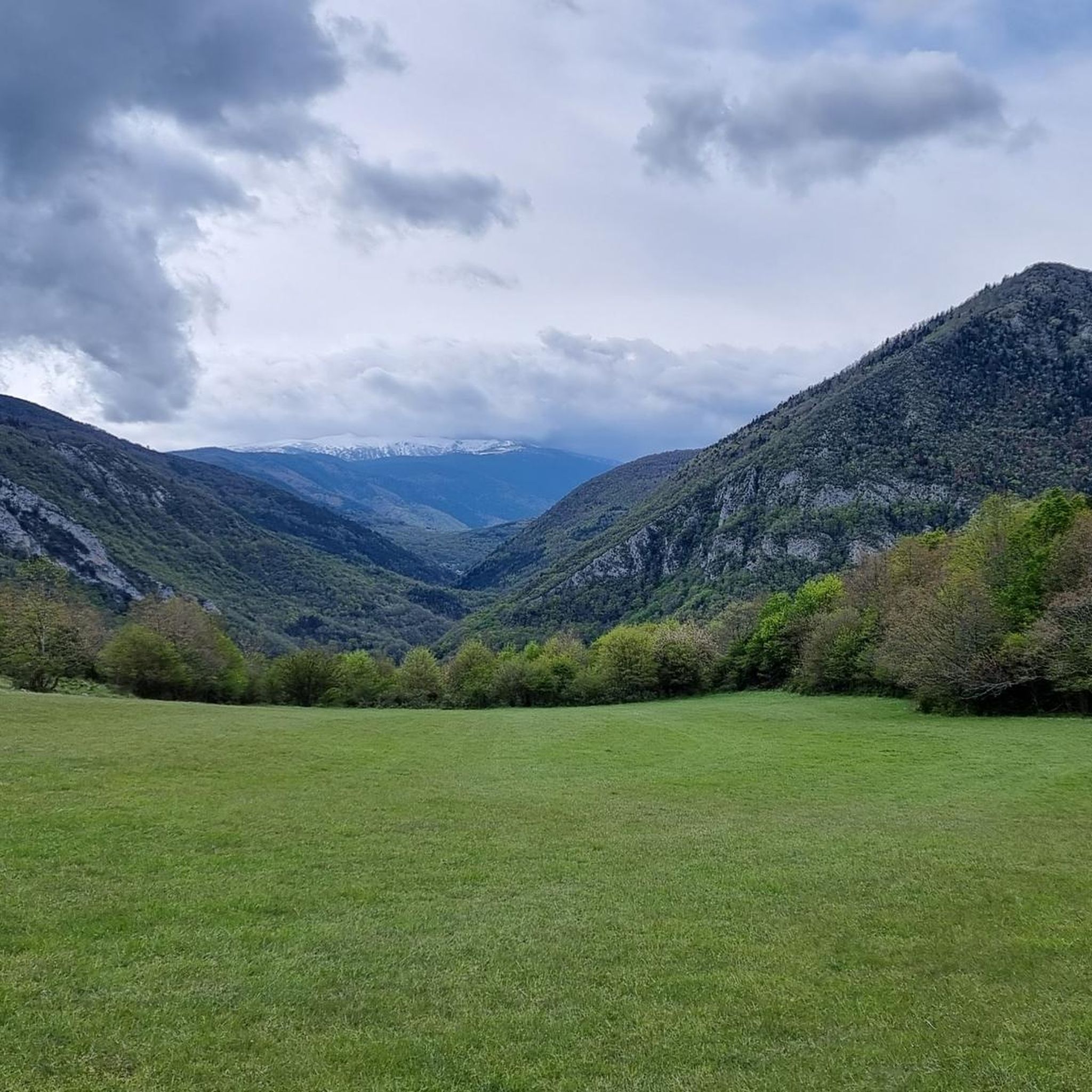
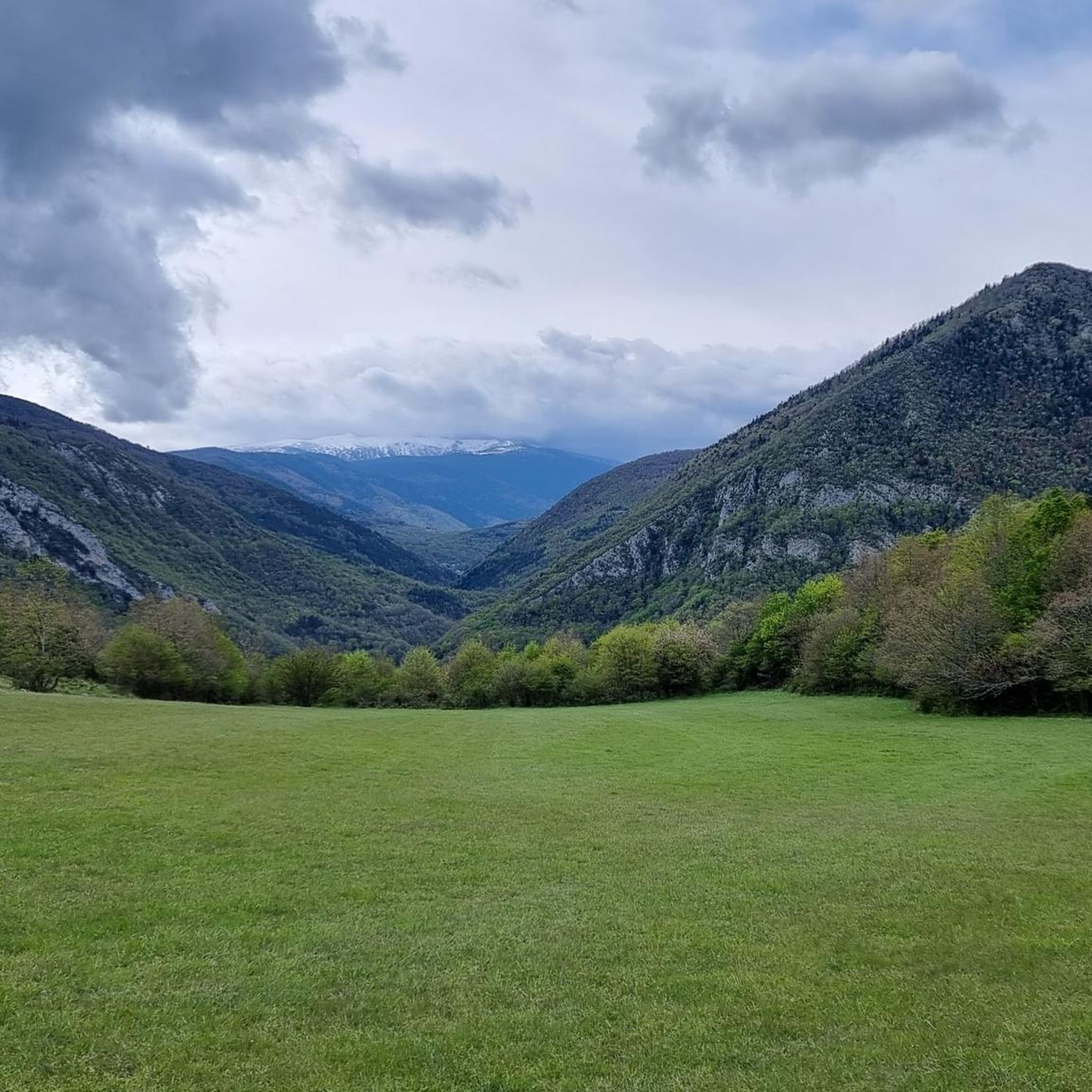
Touring cycling around Fontanès-De-Sault offers routes through a heavily wooded plateau, part of the Pays de Sault, with elevations ranging from 990 to 1,310 meters. The terrain features winding roads, segments following the Aude River, and mountainous environments. Cyclists can expect varied landscapes, including forests, rocky ledges, and challenging mountain passes. The region's geological makeup contributes to its diverse natural features.
Best touring cycling routes around Fontanès-De-Sault
- The most popular touring cycling route is Climb Col de Pailhères – Col…
Last updated: July 4, 2026
3.7
(3)
288
riders
52.9km
04:35
1,940m
1,940m
Hard bike ride. Very good fitness required. Mostly paved surfaces. Suitable for all skill levels.
5.0
(3)
119
riders
29.4km
02:38
1,150m
1,150m
Hard bike ride. Very good fitness required. Mostly paved surfaces. Suitable for all skill levels.

Sign up for free
27
riders
16.9km
01:31
670m
670m
Hard bike ride. Very good fitness required. Mostly paved surfaces. Suitable for all skill levels.
10
riders
79.0km
05:35
1,570m
1,570m
Hard bike ride. Very good fitness required. Mostly paved surfaces. Suitable for all skill levels.
8
riders
62.3km
04:27
1,290m
1,290m
Hard bike ride. Very good fitness required. Mostly paved surfaces. Suitable for all skill levels.
Get access to more routes and recommendations from other explorers.
Sign up for free
Already have an account?
Our route recommendations are based on thousands of hikes, rides, and runs completed by other people on komoot.
Start today with a free account
Your next adventure awaits.
Login or Signup

Tips from the Community

The Col de Marmare-Chioula is an 18.6-kilometer long Category 1 pass. It is located in Luzenac.
16
0
The Col de Marmare from Luzenac is a climb in the Ariège region. It is 16.8 kilometers long and climbs 828 meters.
0
0
The Croix des 7 Frères is a small, inconspicuous summit and the start of a nice ride in the area.
17
0
1253 meters high, you can reach it via asphalt or gravel road
6
0


Magnificent intermittent fountain, no detour is found on the road. A must-see!
0
0
Short but difficult, plus the heat...I had raindrops 🥵
0
0

Nice pass with a very nice view! Nice view of the castle (which despite being visibly in ruins is paying for the visit)
0
0
Frequently Asked Questions
How many touring cycling routes are available around Fontanès-De-Sault?
There are over 20 touring cycling routes in the Fontanès-De-Sault area. These routes primarily navigate the heavily wooded plateau of the Pays de Sault, offering diverse landscapes and challenging mountain passes.
What is the general difficulty level of touring cycling routes in Fontanès-De-Sault?
The majority of touring cycling routes around Fontanès-De-Sault are considered difficult, with significant elevation gains. Out of 24 available routes, 22 are rated difficult, and 2 are moderate. This region is known for its challenging mountainous terrain.
Are there any circular touring cycling routes in the area?
Yes, many routes in Fontanès-De-Sault are designed as loops. For example, the challenging Pailhères Pass – Mijanès loop from Mijanès covers 52.8 km with nearly 2000 meters of ascent. Another option is the Mijanès – Pailhères Pass loop from Rouze, which is 29.4 km long.
What kind of landscapes can I expect to see while cycling in Fontanès-De-Sault?
You can expect a rugged, authentic mountain environment. Routes feature heavily wooded plateaus, winding roads, segments following the Aude River, and challenging mountain passes. The terrain includes forests, rocky ledges, and geological curiosities, offering varied and scenic views.
What are some notable landmarks or attractions along the touring cycling routes?
The region is rich in natural and geological features. You'll encounter several mountain passes, such as Pailhères Pass and Col du Garavel (1256 m). The dramatic Gorges de l'Aude and Gorges de la Pierre-Lys are also nearby, offering impressive natural sights. For a unique experience, the Mijanès Pastoral Refuge is another point of interest.
Is there a particularly scenic or unique road for cyclists in Fontanès-De-Sault?
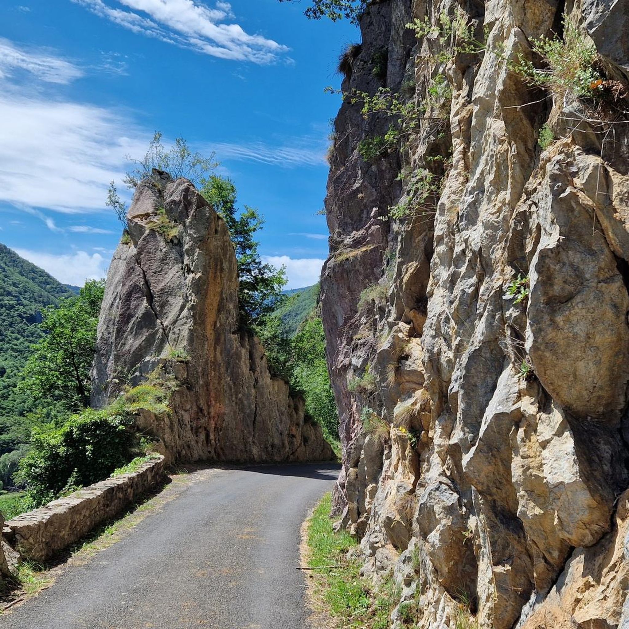
Yes, the D29 "Balcony Road" leading to Fontanès-De-Sault is a significant highlight. This approximately 3 km stretch is cut into rock with overhangs and narrow passages, offering very scenic views. While challenging and requiring attention due to occasional falling debris, it's a memorable part of the local cycling experience.
What is the best time of year for touring cycling in Fontanès-De-Sault?
Fontanès-De-Sault, situated at an altitude of 934 meters, offers an invigorating climate. The region is known for beautiful, clear blue skies. Given the mountainous terrain and challenging passes, late spring, summer, and early autumn are generally the most favorable times for touring cycling, avoiding potential snow or ice at higher elevations.
Are there any easy touring cycling routes for beginners or families?
The touring cycling routes around Fontanès-De-Sault are predominantly difficult, with only 2 out of 24 routes rated as moderate and none as easy. The terrain is characterized by significant climbs and mountainous environments, making it more suitable for experienced touring cyclists. Families or beginners might find the routes quite challenging.
What do other cyclists say about touring cycling in Fontanès-De-Sault?
The area is highly rated by the komoot community, with an average score of 4.7 stars from over 10 reviews. More than 1000 touring cyclists have used komoot to explore Fontanès-De-Sault's varied terrain, often praising the challenging mountain passes and the authentic, rugged natural environment.
Are there any shorter touring cycling routes for a quicker ride?
While many routes are long and challenging, you can find some shorter options. For instance, the Rouze Village Stop – Mijanès loop from Rouze is 16.9 km long with 667 meters of ascent, offering a taste of the region's terrain in a more condensed format.
Can I find routes that incorporate historical elements?
Yes, the region boasts a portion of the historic "Chemin Vauban," which can be incorporated into cycling routes. This adds a historical dimension to the natural beauty of the area.
Most popular attractions around Fontanès-De-Sault

Get inspired with the komoot mobile app


Explore more
Browse the best Cycling routes in other regions.
