The best road cycling routes around Joucou
4.5
(81)
1,918
riders
40
rides
Road cycling routes around Joucou are set within the Pays de Sault, a heavily wooded plateau in France's Occitanie region, offering diverse landscapes. The terrain features elevations ranging from 544 to 1067 meters within the commune, providing varied topography for cyclists. The Rébenty River carves dramatic gorges through the area, adding scenic and challenging sections to many routes. This location near the Pyrenean foothills ensures access to significant climbs and expansive views.
Best road cycling routes in Joucou
- The most…
Last updated: July 4, 2026
4.3
(4)
121
riders
62.4km
03:18
1,160m
1,160m
Hard road ride. Very good fitness required. Mostly well-paved surfaces and easy to ride.
5.0
(5)
303
riders
80.7km
04:57
2,250m
2,260m
Hard road ride. Very good fitness required. Mostly well-paved surfaces and easy to ride.

Sign up for free
4.4
(5)
258
riders
92.1km
05:02
1,890m
1,890m
Hard road ride. Very good fitness required. Mostly well-paved surfaces and easy to ride.
5.0
(1)
24
riders
90.4km
04:42
1,600m
1,600m
Hard road ride. Very good fitness required. Some segments of this route may be unpaved and difficult to ride.
31
riders
73.9km
04:24
1,880m
1,880m
Hard road ride. Very good fitness required. Mostly well-paved surfaces and easy to ride.
Get access to more routes and recommendations from other explorers.
Sign up for free
Already have an account?
Our route recommendations are based on thousands of hikes, rides, and runs completed by other people on komoot.
Start today with a free account
Your next adventure awaits.
Login or Signup

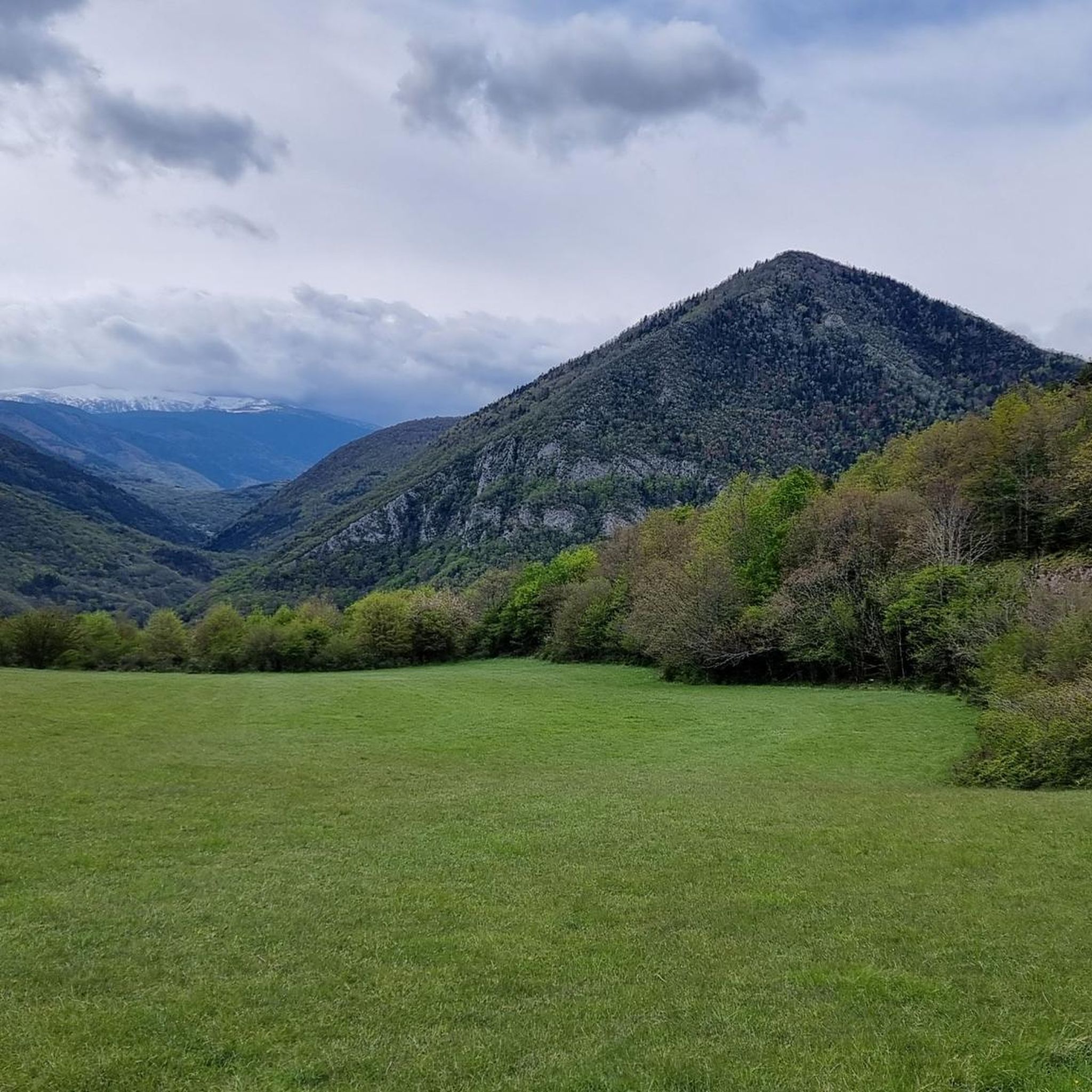
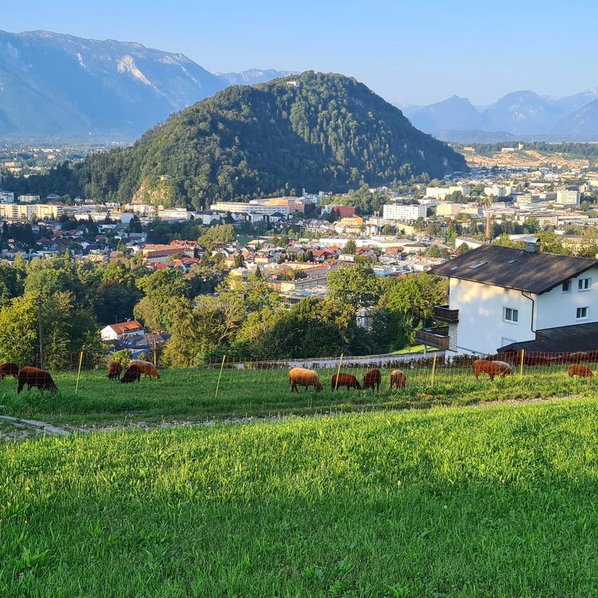
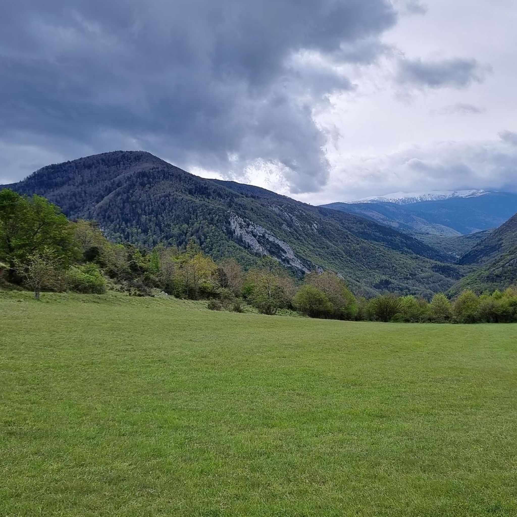
Tips from the Community

It's an ideal spot for a picnic. It's also an ideal place for groups of cyclists supported by vans, as there's plenty of space here to relax and not disturb anyone. The lake is at an elevated point, so accessing it from La Llagonne or Les Angles requires a steep climb, always at a lower gradient.
0
0


Beautiful rocky outcrops along the Aude
0
0

The Col de Marmare-Chioula is an 18.6-kilometer long Category 1 pass. It is located in Luzenac.
16
0
The Col de Marmare from Luzenac is a climb in the Ariège region. It is 16.8 kilometers long and climbs 828 meters.
0
0
The Col du Chioula from Prades is a climb in the Ariège region. It is 2.3 kilometers long and climbs 72 meters.
0
0
The Croix des 7 Frères is a small, inconspicuous summit and the start of a nice ride in the area.
17
0
1253 meters high, you can reach it via asphalt or gravel road
6
0
Frequently Asked Questions
How many road cycling routes are available around Joucou?
There are over 35 road cycling routes around Joucou, offering a diverse range of experiences. These include 3 easy routes, 16 moderate routes, and 18 difficult routes, catering to various skill levels.
What kind of terrain can I expect on road cycling routes in Joucou?
Road cycling around Joucou is characterized by the heavily wooded plateaus of the Pays de Sault, dramatic river gorges like the Rébenty, and the foothills of the Pyrenees. You'll encounter significant elevation changes, with routes reaching altitudes up to 1067 meters, and challenging climbs such as the Col de Dent and Col des 7 Frères. The region offers a mix of shaded valleys and open plateaus.
Are there any easy road cycling routes suitable for beginners in Joucou?
While many routes in Joucou are moderate to difficult, there are a few easier options. The region's topography generally involves elevation changes, so even 'easy' routes may have some climbs. It's best to check individual route profiles on komoot for detailed elevation and distance information to find one that matches your comfort level.
What are some notable natural features or landmarks I can see while cycling in Joucou?
The region is rich in natural beauty. You can cycle through the spectacular Rébenty Gorges, known for their wild scenery. Other highlights include the Belvédère du Diable – View of the Pierre-Lys Gorge, offering dramatic vistas. The area also features the Labyrinthe Vert and the Path Through the Enchanted Forest, which can be explored off the bike.
Are there any circular road cycling routes around Joucou?
Yes, many of the road cycling routes around Joucou are designed as loops. For example, the challenging Col du Chioula – Col de Marmare (1361 m) loop from Espezel and the Col du Pradel – Pierre Lys Gorge loop from Galinagues are popular circular options that allow you to start and finish in the same location.
What is the best time of year for road cycling in Joucou?
The spring and summer months are ideal for road cycling in Joucou. Spring offers the added beauty of abundant wild orchids along the paths. While the plateaus are at around 800 meters altitude, the region's climate generally allows for pleasant cycling conditions outside of winter, when the Pays de Sault becomes popular for snowshoeing.
What do other road cyclists enjoy most about road cycling in Joucou?
The road cycling routes in Joucou are highly rated by the komoot community, with an average score of 4.5 stars from over 70 reviews. Cyclists often praise the diverse terrain, from wooded plateaus to dramatic river gorges, and the challenging climbs that offer expansive views of the Pyrenean foothills.
Are there any long-distance road cycling routes in the Joucou area?
Yes, Joucou offers several longer and more demanding routes. The Fontestorbes Spring – Col de Montségur loop from Ginoles covers over 100 km, and the Saint Louis Pass – Gorges du Rébenty loop from Galinagues is another extensive option, both featuring significant elevation gain for experienced riders.
Can I find cafes or accommodation suitable for cyclists in Joucou?
Joucou is a charming village, and the surrounding Pays de Sault region offers various amenities. While specific cafes directly on every route might be limited, you'll find options in the villages along the routes. It's advisable to plan your stops in advance, especially on longer rides, to ensure you have access to refreshments and accommodation.
Are there any routes that traverse high-altitude landscapes?
Absolutely. The Lake Matemale – Mijanès loop from Bessède-de-Sault is a prime example, leading through high-altitude landscapes and offering a challenging experience with significant elevation gain. The region's plateaus are generally around 800 meters, providing a consistently elevated cycling environment.
What are the typical elevation changes on road cycling routes in Joucou?
Road cycling routes in Joucou feature substantial elevation changes, reflecting the region's mountainous character. You can expect climbs and descents ranging from 544 to 1067 meters within the commune. Many difficult routes involve over 1500 meters of ascent, providing a rewarding challenge for cyclists.
Most popular attractions around Joucou

Get inspired with the komoot mobile app


Explore more
Browse the best Road cycling routes in other regions.
