The best running trails around Mazuby
5.0
(4)
324
runners
34
runs
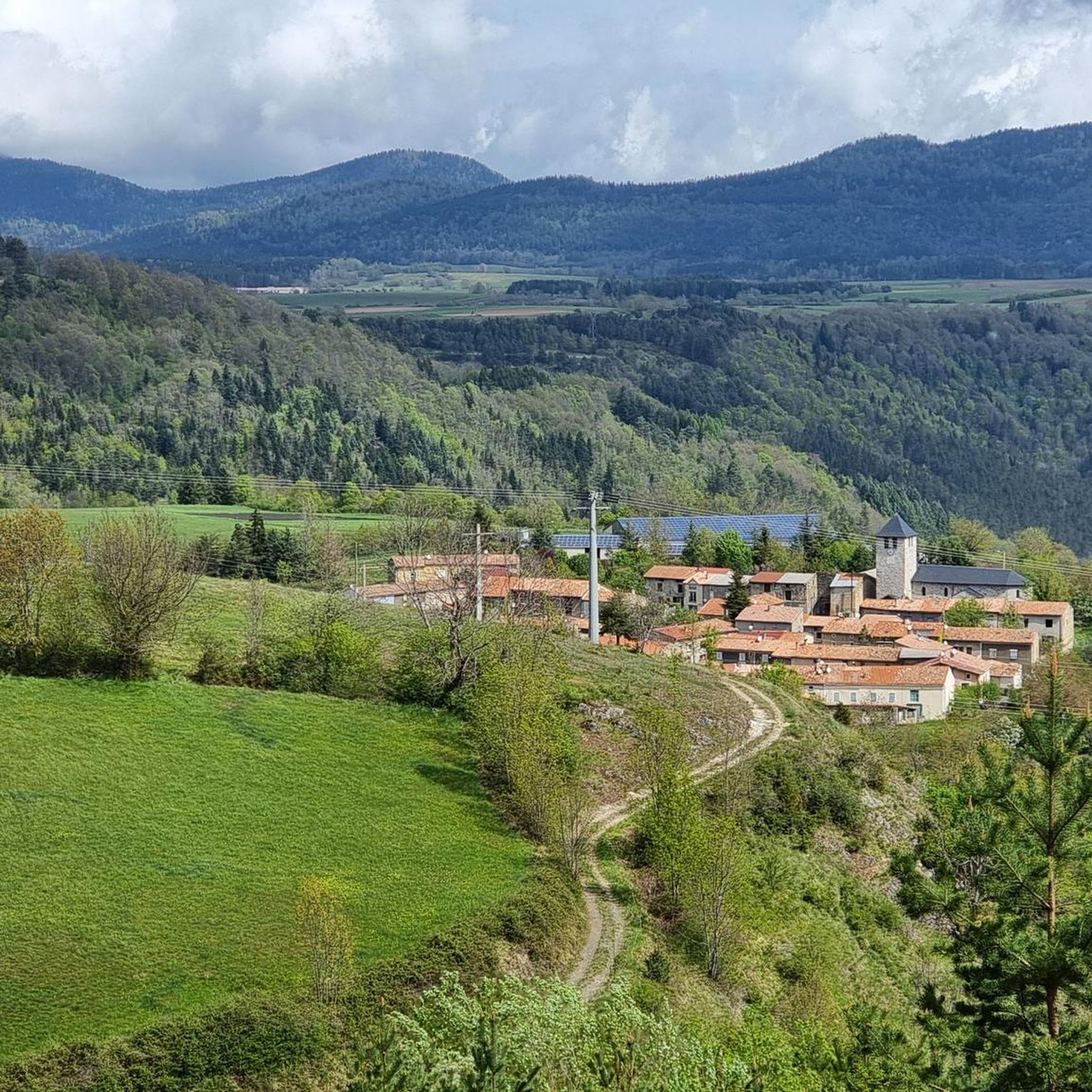
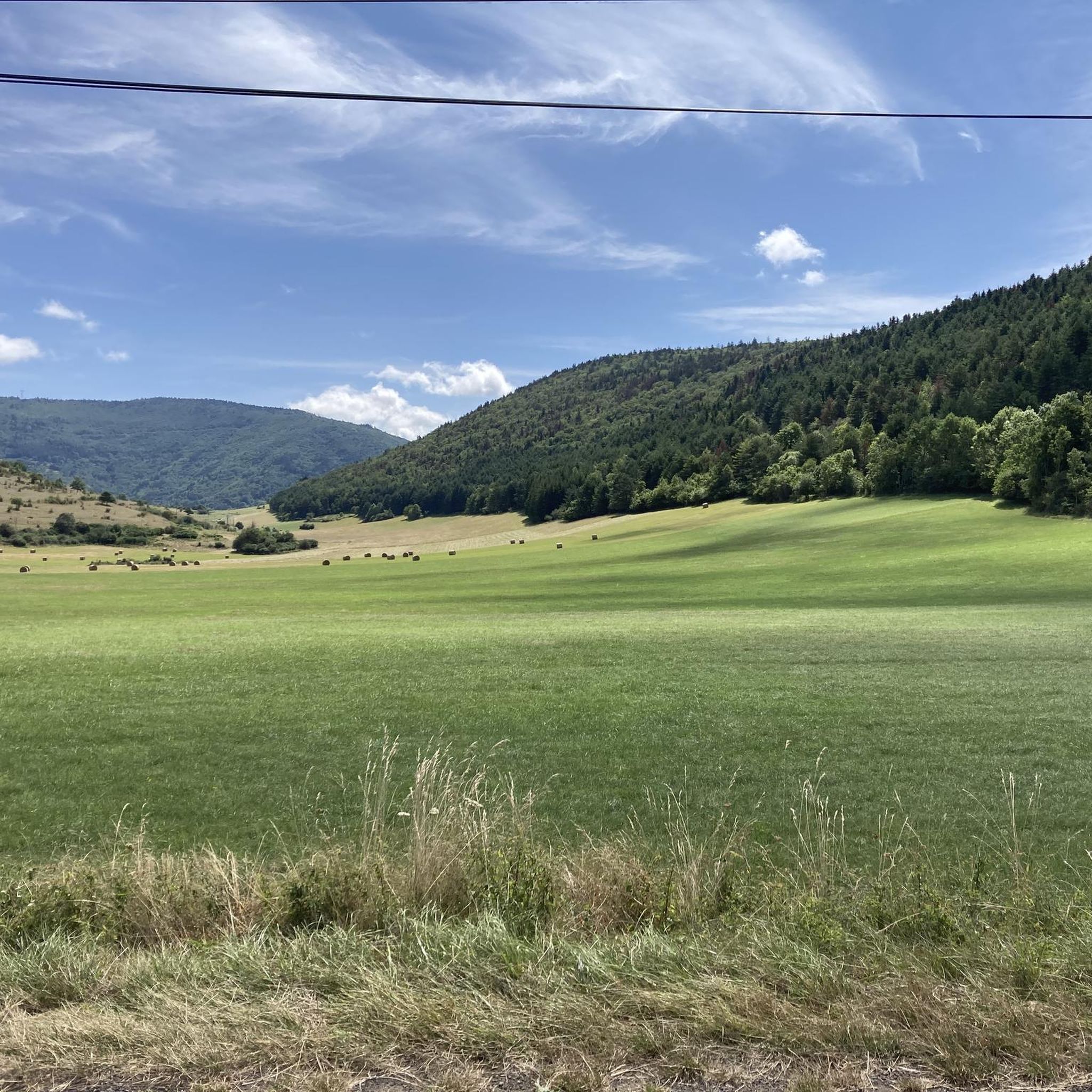
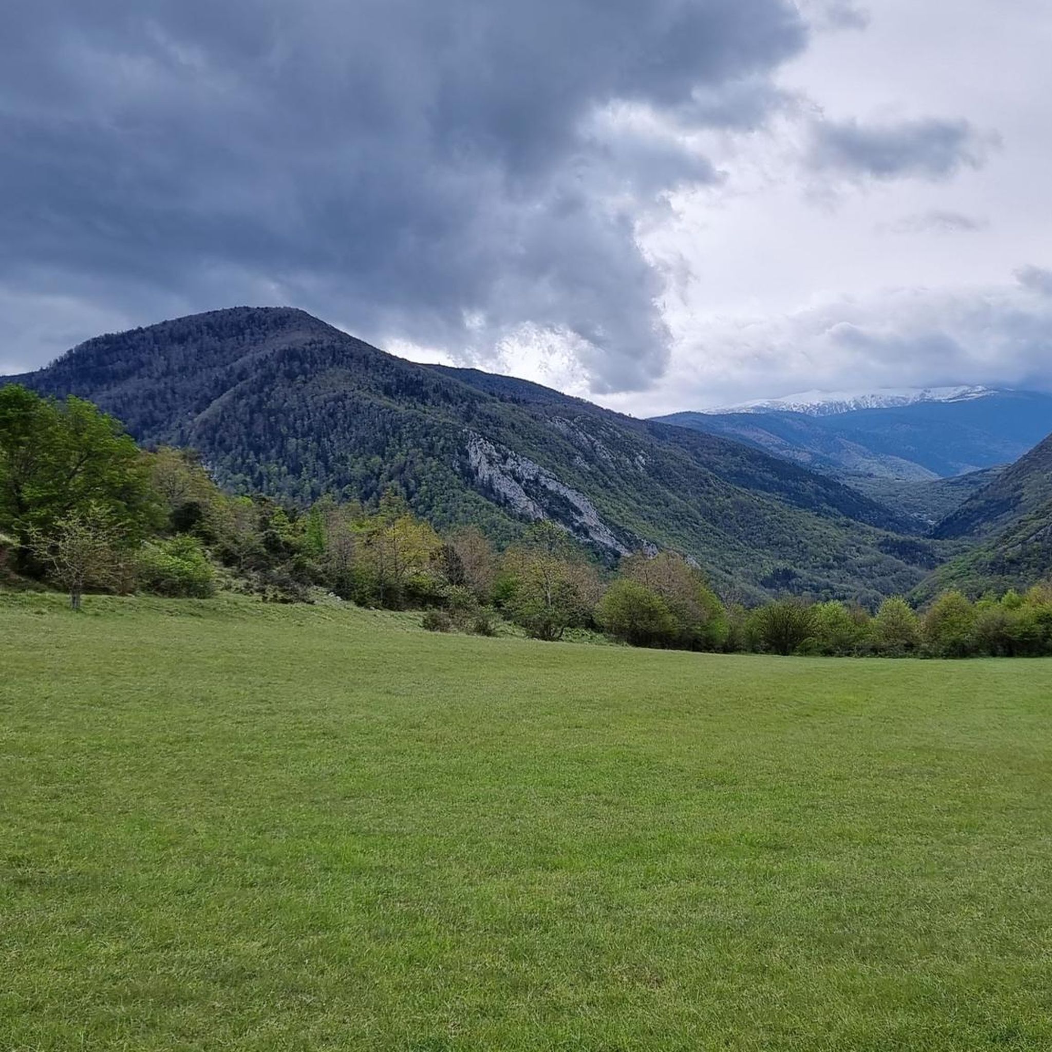
Jogging routes around Mazuby, located in the Aude department of France, traverse a region characterized by diverse and picturesque landscapes. The area features dramatic gorges, crystal-clear rivers, and mountainous backdrops, providing varied terrain for running. Proximity to the Pyrenees offers opportunities for routes with significant elevation changes, while numerous lakes provide flatter, scenic options. The natural environment includes protected areas with trails winding through forests and natural habitats.
Best jogging routes around Mazuby
- The most popular jogging route is Le…
Last updated: July 4, 2026
101
runners
Hard run. Very good fitness required. Sure-footedness, sturdy shoes and alpine experience required.
16
runners
15.7km
02:41
860m
860m
Hard run. Very good fitness required. Sure-footedness, sturdy shoes and alpine experience required.

Sign up for free
19
runners
7.28km
01:07
380m
380m
Hard run. Very good fitness required. Sure-footedness, sturdy shoes and alpine experience required.
10
runners
6.41km
01:02
380m
380m
Hard run. Very good fitness required. Sure-footedness, sturdy shoes and alpine experience required.
7
runners
9.90km
01:08
250m
250m
Moderate run. Good fitness required. Mostly paved surfaces. Suitable for all skill levels.
Get access to more routes and recommendations from other explorers.
Sign up for free
Already have an account?
Our route recommendations are based on thousands of hikes, rides, and runs completed by other people on komoot.
Start today with a free account
Your next adventure awaits.
Login or Signup

Tips from the Community

The setting here is truly stunning. The Rabassoles ponds shine in the valley, standing out against the surrounding granite cliffs. You can see the Rabassoles pond (1,851 metres), the Blue pond (1,920 metres) and the Black pond (1,970 metres).
0
0

When you hike up to this view of the Etang Bleu, you are rewarded with a breathtaking sight where the bright blue waters of the pond are nestled among the rugged peaks of the Pyrenees. The Etang Bleu, known for its deep blue and strikingly clear waters, is surrounded by lush vegetation and rocky outcrops, creating a tranquil and almost magical atmosphere. You can take advantage of this peaceful spot to take a break and soak up the natural beauty of the area before continuing your exploration of the nearby Etang de Rabassoles and its equally captivating landscape.
1
0

gorgeous view! and the way from there down to the lakes is definitely worth securing.
1
1

The Rabassoles ponds form a magnificent set of three ponds: the Rabassoles pond, the Blue pond and the Black pond.
0
0
The peak of Tarbésou, which culminates at 2,364 meters and overlooks the ponds of Rabassoles, offers a magnificent belvedere.
2
0
The ascent of the Tarbésou peak offers magnificent views of the Rabassoles ponds.
1
0
The Rabassoles ponds form a magnificent set of three ponds: the Rabassoles pond, the Blue pond and the Black pond.
0
0
The surroundings of the Etang Noir offer lovely views of the Rabassoles pond.
0
1
Frequently Asked Questions
How many running routes are available around Mazuby?
There are over 30 running routes around Mazuby, offering a variety of experiences for different skill levels. The komoot community has explored these trails more than 300 times, highlighting the area's popularity for outdoor activities.
What kind of landscapes can I expect to see while jogging in Mazuby?
Jogging in Mazuby offers a diverse range of landscapes. You'll find dramatic gorges, crystal-clear rivers, and mountainous backdrops, especially with the region's proximity to the Pyrenees. There are also tranquil lakes and protected natural areas with trails winding through forests and natural habitats.
Are there any easy or moderate running routes for beginners in Mazuby?
Yes, while Mazuby is known for its challenging routes, there are options for moderate runners. For example, the Running loop from Espezel is a moderate 6.1-mile (9.9 km) trail that leads through varied landscapes. Another moderate option is the Ancien manoir loop from Belcaire, which covers 6.1 miles (9.9 km).
What do other runners enjoy most about jogging in Mazuby?
The running routes in Mazuby are highly rated by the komoot community, with an average score of 5.0 stars from 5 reviews. Runners often praise the varied terrain, from challenging mountain ascents to serene forest paths, and the stunning natural beauty of the Aude department.
Are there any circular running routes in Mazuby?
Yes, many of the running routes around Mazuby are circular, allowing you to start and finish in the same location. Examples include the popular Le Pic de Tarbesou - trail loop starting from the Col de Pailhères car park and the Tarbésou Peak loop from Port de Pailhères, both offering challenging but rewarding experiences.
What are some notable natural features or landmarks I might see on a run near Mazuby?
The region around Mazuby is rich in natural beauty. You might encounter dramatic gorges like the Gorges de la Pierre-Lys or Gorges de Galamus, and tranquil lakes such as Lac des Bouillouses. Mountain passes like Pailhères Pass and Pradel Pass also offer stunning views and are often part of running routes.
Are there running routes with significant elevation gain for a challenging workout?
Absolutely. Mazuby's proximity to the Pyrenees means many routes feature significant elevation changes. For a truly challenging run, consider Le Pic de Tarbesou - trail loop starting from the Col de Pailhères car park, which has over 600 meters of elevation gain, or the Running loop from Roquefeuil, a difficult 6.7-mile (10.8 km) route with over 300 meters of ascent.
When is the best time of year to go running in Mazuby?
The Aude department, where Mazuby is located, offers diverse conditions. While specific seasonal advice isn't provided, the varied terrain suggests that spring and autumn would be ideal for comfortable temperatures and vibrant scenery. Summer can be warm, especially in lower elevations, while winter might offer challenging conditions in the mountainous areas.
Are there any running routes that pass by lakes or offer water views?
Yes, the region features several lakes that provide serene settings for runs. Lac des Bouillouses and Lac du Bouillouses are within reach of Mazuby and offer potential for scenic routes with beautiful water views. While specific routes passing directly by these lakes are not detailed in the guide, the presence of these natural features indicates opportunities for such experiences.
What is the typical distance for running routes in Mazuby?
The running routes in Mazuby vary in distance to suit different preferences. You can find routes ranging from moderate 6-mile (9.9 km) loops like the Running loop from Espezel, to longer, more challenging trails such as Le Pic de Tarbesou - trail loop starting from the Col de Pailhères car park, which is 7.3 miles (11.7 km) long.
Are there any running trails suitable for families or those looking for a less strenuous experience?
While many routes in Mazuby are categorized as moderate to difficult due to the mountainous terrain, the presence of diverse landscapes, including forests and flatter lakeside areas, suggests that less strenuous options might be found. Look for routes described as 'moderate' or those that stick to lower elevations and established paths for a more family-friendly experience.
What kind of terrain can I expect on the running trails around Mazuby?
The terrain around Mazuby is highly varied. You can expect a mix of paths through forests, along riverbanks, and over mountainous areas. Some routes will feature significant ascents and descents on rocky or uneven trails, while others might offer smoother paths through valleys or around lakes. This variety caters to different running preferences and challenges.
Most popular attractions around Mazuby

Get inspired with the komoot mobile app


Explore more
Browse the best Running Trails & Routes in other regions.
