The best walks and hikes around Beyrie-Sur-Joyeuse
4.5
(154)
855
hikers
68
hikes
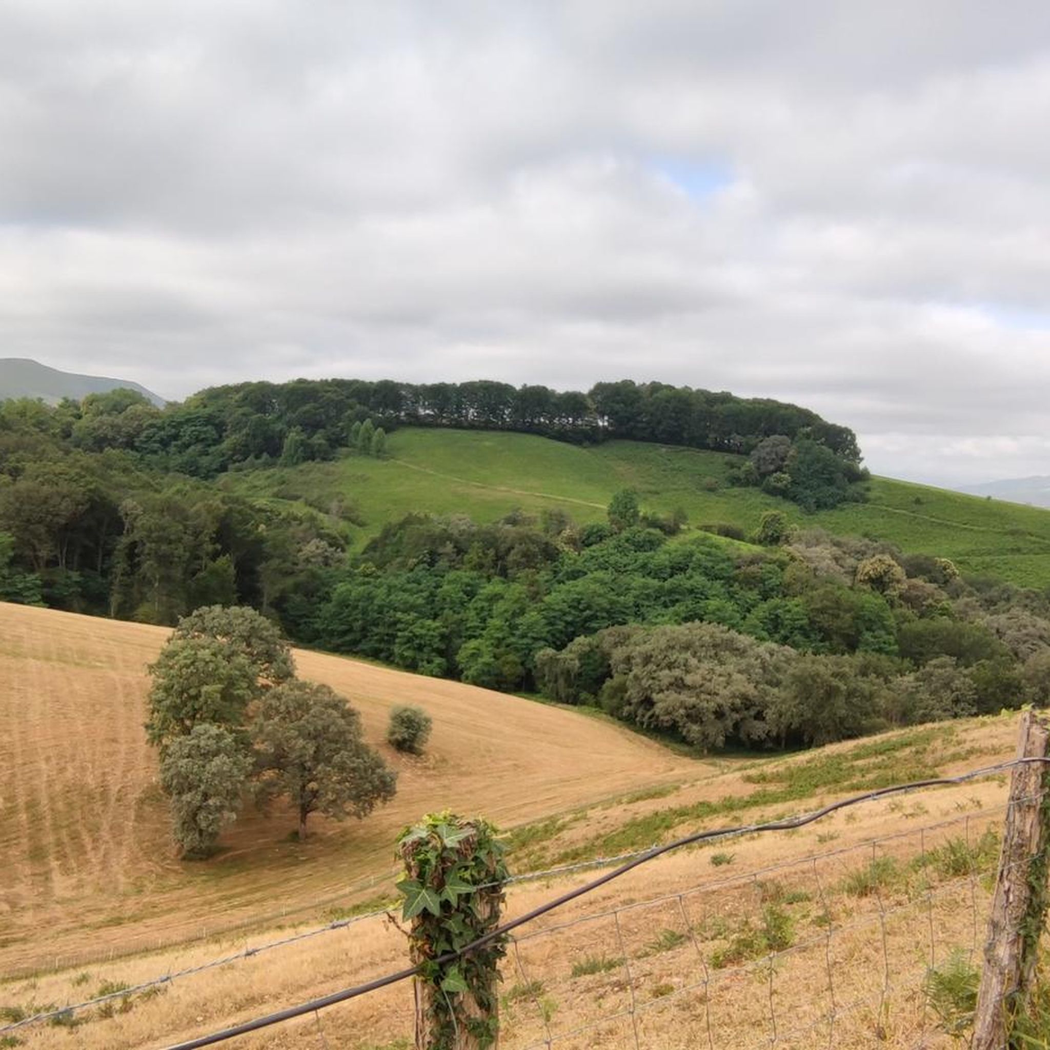
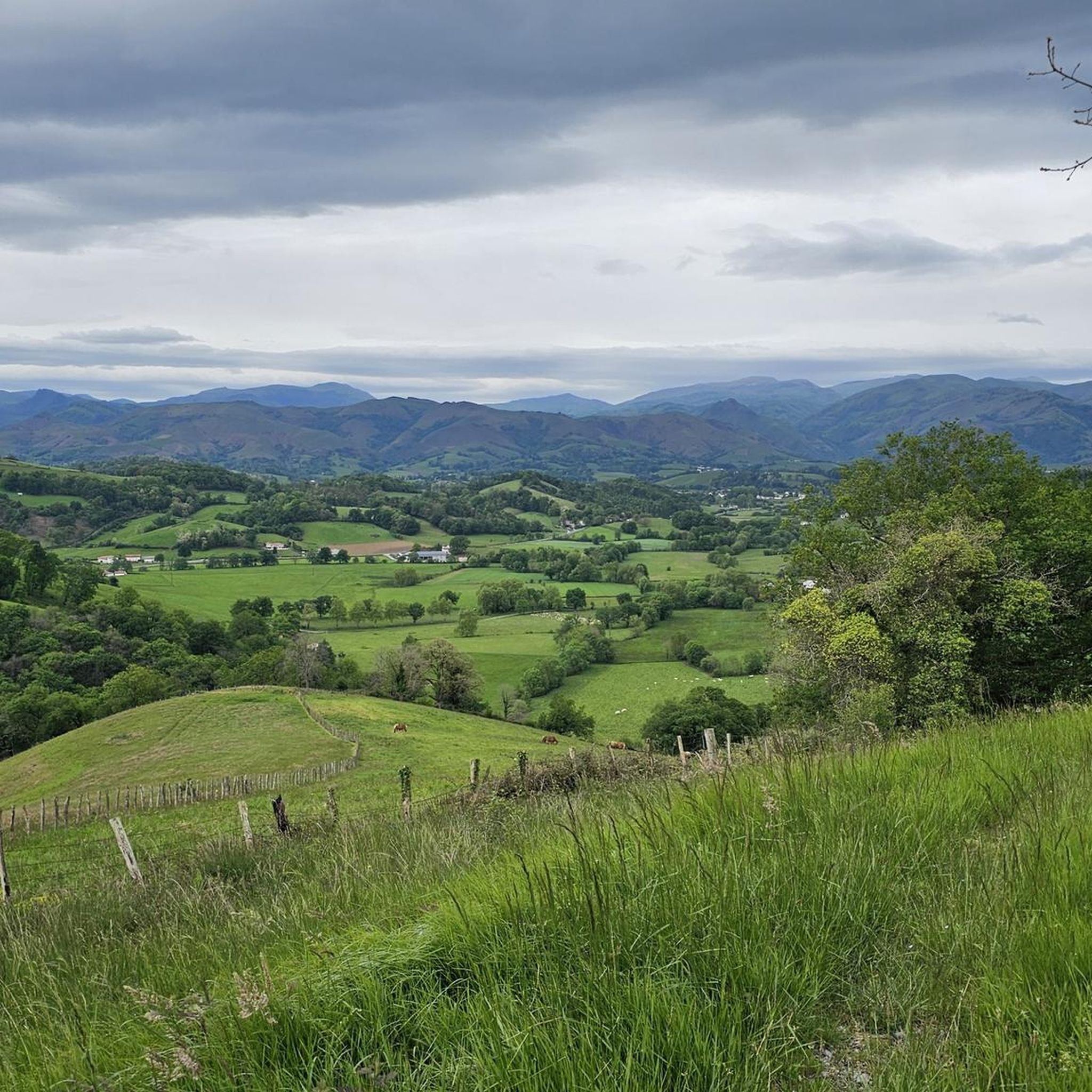
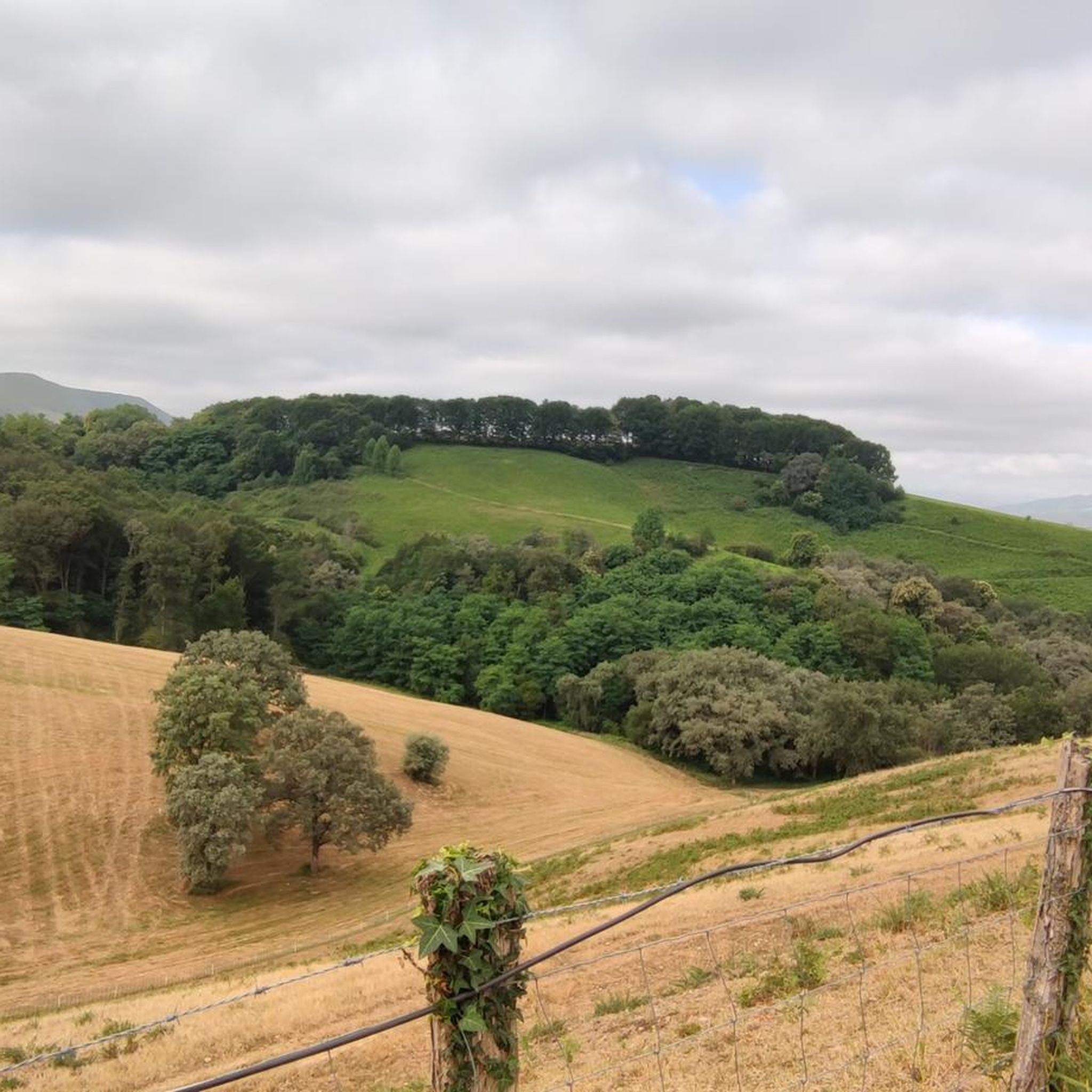
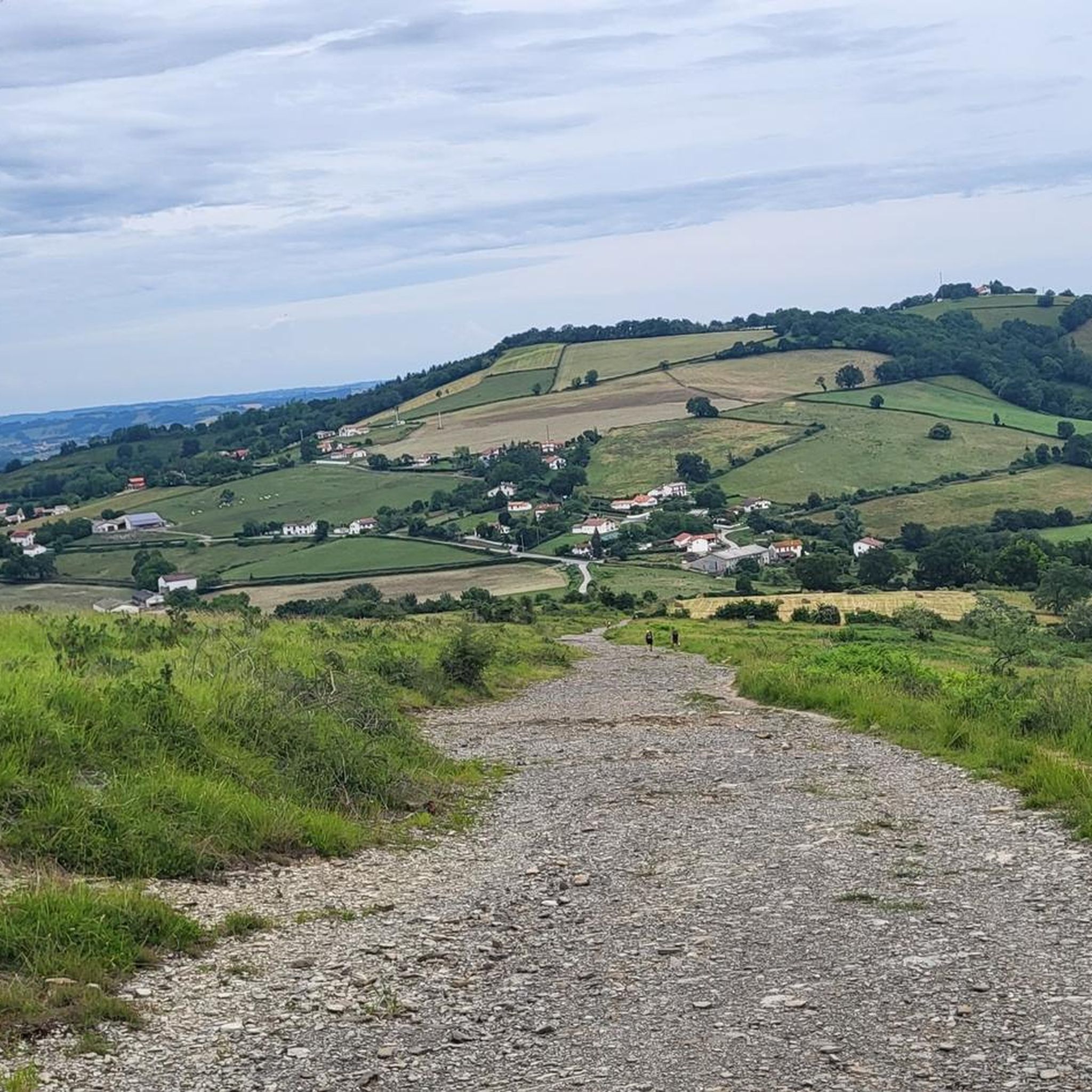
Hiking around Beyrie-Sur-Joyeuse offers a network of trails through varied terrain. The region features undulating landscapes with notable elevation changes, providing opportunities for both moderate and more challenging hikes. These routes often lead through rural areas, connecting historical points and natural features. The trails provide a way to explore the local environment and its diverse topography.
Best hiking trails around Beyrie-Sur-Joyeuse
- The most popular hiking route is Chapelle de Soyarza – Gibraltar Stele loop from Manano, a 7.1 miles…
Last updated: July 3, 2026
4.3
(7)
32
hikers
11.4km
03:20
300m
300m
Moderate hike. Good fitness required. Easily-accessible paths. Suitable for all skill levels.
4.6
(10)
48
hikers
19.7km
05:54
640m
640m
Hard hike. Very good fitness required. Easily-accessible paths. Suitable for all skill levels.

Sign up for free
4.6
(7)
27
hikers
14.3km
04:19
460m
460m
Moderate hike. Good fitness required. Easily-accessible paths. Suitable for all skill levels.
4.8
(6)
30
hikers
11.4km
03:26
360m
360m
Moderate hike. Good fitness required. Easily-accessible paths. Suitable for all skill levels.
4.5
(2)
7
hikers
8.43km
02:21
160m
160m
Moderate hike. Good fitness required. Easily-accessible paths. Suitable for all skill levels.
Get access to more routes and recommendations from other explorers.
Sign up for free
Already have an account?
Our route recommendations are based on thousands of hikes, rides, and runs completed by other people on komoot.
Start today with a free account
Your next adventure awaits.
Login or Signup
Tips from the Community

The chapel is closed to the public, but it's an ideal spot for a sheltered picnic.
0
0

beautiful view, there is water and, if necessary, a rainproof place (for a maximum of 2 people), it is on the Way of St. James and you often meet other hikers or cyclists
0
0


The small village of Saint-Palais is located at the crossroads of the three Basque provinces of Labourd, Basse Navarre and Soule. Former capital of Navarre, the village has managed to preserve its traditions and its authentic culture.
1
0

Between Saint-Palais and Ostabat, three French Ways of St. James meet at a particularly beautiful stele, which lead together to Saint-Jean-Pied-de-Port. Via Podiensis / Voie du Puy-en-Velay Via Lemovicensis / Voie de Vezelay Via Touronensis / Voie de Tours
1
0

Near Ostabat, the Gibraltar Stele marks the spot where the three great routes to Santiago meet.
3
0
Ostabat, this beautiful Basque village is located within beautiful hills. From Ostabat, there is only one way that goes over the Roncesvalles pass and follows the Camino Francès to Compostela.
2
0
Frequently Asked Questions
How many hiking trails are available around Beyrie-Sur-Joyeuse?
There are over 60 hiking routes documented around Beyrie-Sur-Joyeuse on komoot, offering a wide range of options for exploring the region's undulating landscapes.
Are there any easy hiking trails suitable for beginners or families in Beyrie-Sur-Joyeuse?
Yes, Beyrie-Sur-Joyeuse offers around 20 easy hiking trails. These routes typically feature gentler terrain and shorter distances, making them suitable for beginners or families looking for a relaxed outdoor experience.
What are the options for longer distance hikes near Beyrie-Sur-Joyeuse?
For those seeking a more challenging and longer experience, there are several difficult routes available. One such option is the Chapelle de Soyarza – Ostabat loop from Orsanco, which spans over 27 km and involves significant elevation gain, typically taking around 8 hours to complete.
Are there circular walks available in the Beyrie-Sur-Joyeuse area?
Many of the trails around Beyrie-Sur-Joyeuse are designed as circular routes, allowing you to start and finish at the same point. An example is the Gibraltar Stele – Chapelle de Soyarza loop from Saint-Palais, which is a moderate 11.4 km trail.
What kind of natural and historical landmarks can I expect to see on hikes around Beyrie-Sur-Joyeuse?
Hiking in this region often leads you through rural areas connecting various points of interest. You might encounter historical sites like the Gibraltar Stele or religious buildings such as the Chapelle de Soyarza. The routes also pass through charming settlements like Ostabat.
Are there any moderate hikes that offer a good balance of challenge and scenery?
Absolutely. A popular moderate option is the Chapelle de Soyarza – Gibraltar Stele loop from Manano. This 11.5 km trail features moderate climbs and scenic views, typically taking around 3 hours and 20 minutes.
What do other hikers say about the trails in Beyrie-Sur-Joyeuse?
The hiking routes in Beyrie-Sur-Joyeuse are highly regarded by the komoot community, holding an average rating of 4.5 stars from over 120 reviews. Hikers often praise the varied terrain, the blend of rural paths with historical landmarks, and the well-maintained trails.
Are there any specific trails that offer good viewpoints or scenic vistas?
Given the region's undulating landscapes and elevation changes, many trails offer scenic views. Routes that traverse higher ground or pass through areas like the Col d'Iparlatze are likely to provide expansive vistas of the surrounding countryside.
What is the typical duration for hikes in Beyrie-Sur-Joyeuse?
Hike durations vary significantly depending on the route's length and difficulty. Easy trails might take a couple of hours, while moderate routes often range from 3 to 5 hours. More difficult and longer trails, such as the 27 km loop from Orsanco, can take over 8 hours to complete.
Is it possible to find trails that start from or pass through villages where I might find amenities?
Many routes in the region are designed to connect villages and hamlets. For instance, the Gibraltar Stele – Chapelle de Soyarza loop from Orsanco starts from Orsanco, a village where you might find local amenities. Similarly, trails often pass through or near other small communities.
Are there any less-trafficked or 'hidden gem' trails in the area?
While specific 'hidden gems' are subjective, exploring some of the less-frequented moderate trails, such as the Smugglers' Trail loop from Luxe, can offer a quieter experience away from the most popular routes. This 8.3 km trail provides a good opportunity to discover the region's charm.
Most popular routes around Beyrie-Sur-Joyeuse
Most popular attractions around Beyrie-Sur-Joyeuse

Get inspired with the komoot mobile app


Explore more
Browse the best Hikes in other regions.
