The 10 Most Amazing Peaks around Montesquieu-Des-Albères
Best mountain peaks around Montesquieu-Des-Albères are situated in the foothills of the Albères massif, a natural barrier between France and Spain. This region offers diverse terrain and significant historical insights. The peaks provide panoramic views of the surrounding landscapes, including the Mediterranean coast and the Roussillon plain. Montesquieu-Des-Albères serves as a base for exploring these natural features.
Best mountain peaks around Montesquieu-Des-Albères
- The most popular mountain peaks is Puig Neulós, a summit that is the highest point of the…
Last updated: July 6, 2026
Puig Neulós
Highlight • Summit
Translated by Google •
Tip by

Puig Saint-Christau Summit
Highlight • Summit
Translated by Google •
Tip by

Sign up now to discover places like this
Get recommendations on the best single tracks, peaks, & plenty of other exciting outdoor places.
Sign up for free
Puig Neulós Summit
Highlight (Segment) • Summit
Translated by Google •
Tip by

Pic du Néoulous
Highlight • Summit
Translated by Google •
Tip by

Roc dels Tres (1,093 m)
Highlight • Summit
Tour to the highlight: komoot.de/tour/295473434?ref=itd
Translated by Google •
Tip by

Sign up for free to discover even more peaks around Montesquieu-Des-Albères.
Sign up for free
Already have an account?
Start today with a free account
Your next adventure awaits.
Login or Signup

Tips from the Community

It is possible to do it with a mountain bike or gravel bike starting either from Villeneuve or from Montesquieu or from Boulou
0
1
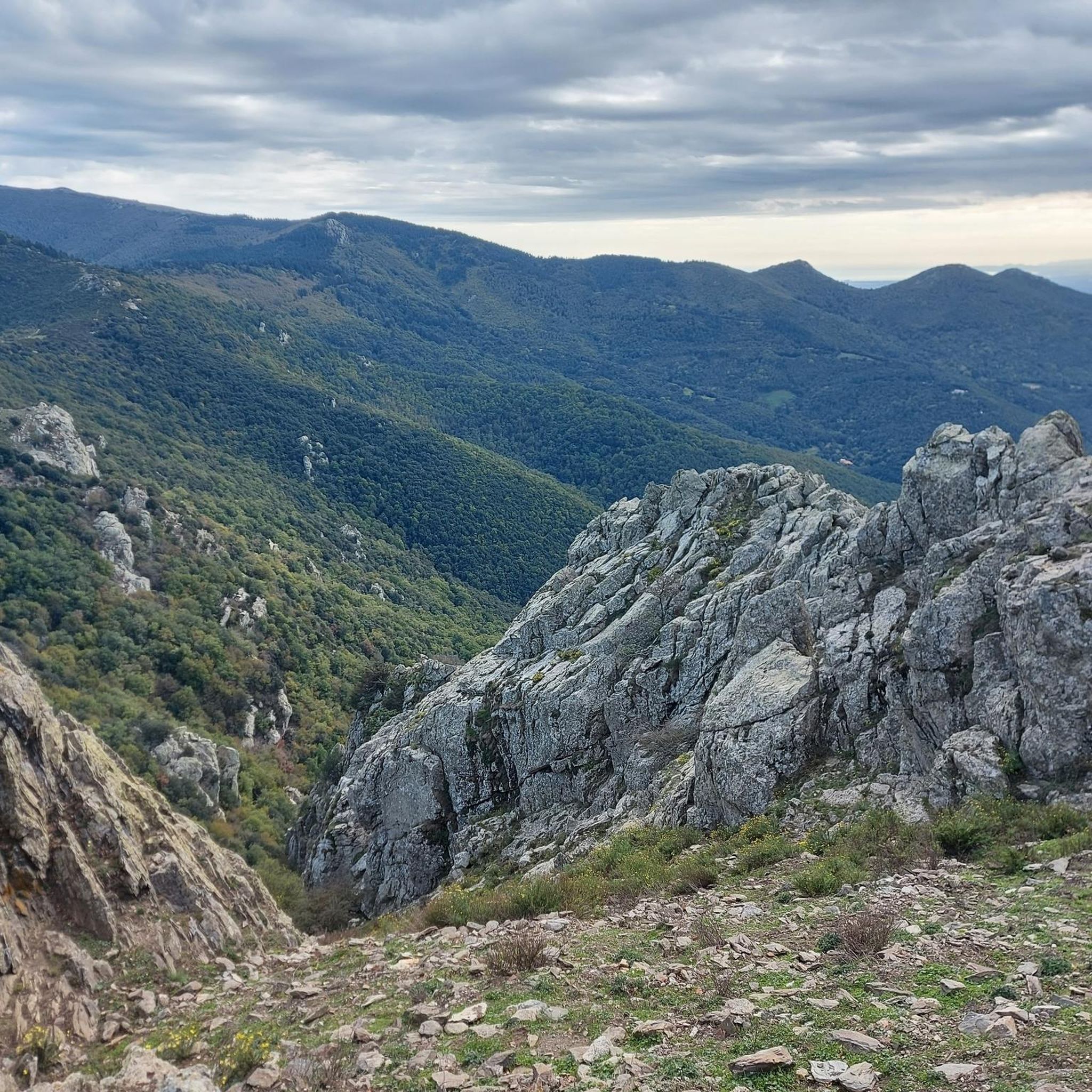
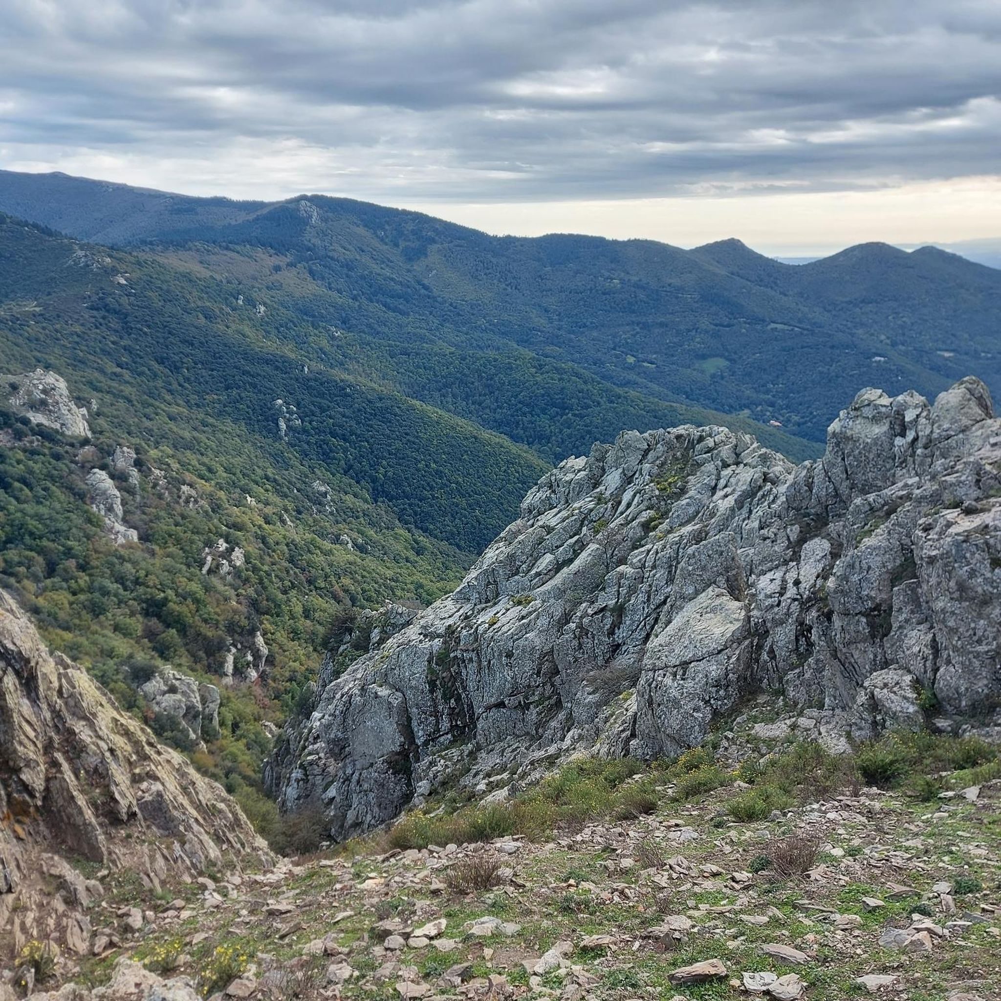
Nice and shaded hike on 2/3 from a departure of the pass perfect for a family outing. The point of view is splendid canigou on one side, sea on the other. The rocky and alpine summit contrasts with the more forested approach.
0
0

Magnificent view ! It’s worth going up there 🤩🤩
6
0

Infernal ascent, when the trees disappear and you seem to be at the top, the pit is waiting for you. Reserve your strength because the last kilometer, despite being on asphalt, is HELL!
6
0
Fantastic day, almost spring. But it's always cold here. if you want to go there you must bring warm clothes!
5
0

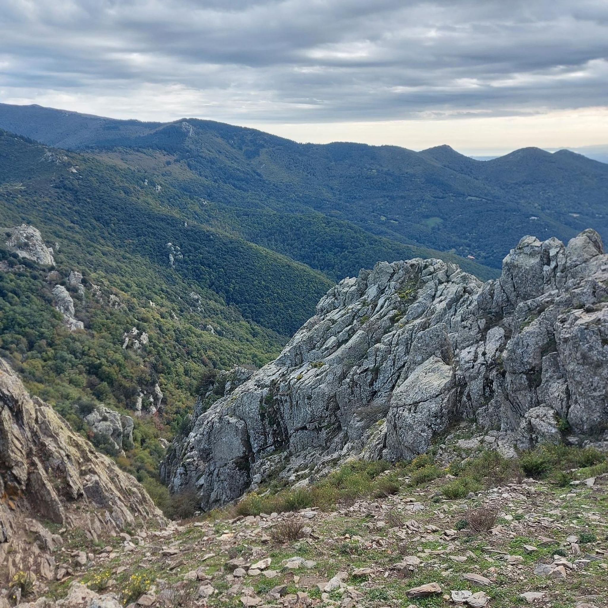
Puig Neulós is the highest point of the Albères massif. It marks the Franco-Spanish border. If we refer to the toponymy, this 1,256 meter summit is often in the clouds. In fact “neulós” means covered in clouds in Catalan.
0
0

Neulós Peak (in Catalan: Puig Neulós, in French: Pic du Néoulous) is a mountain in the Albera mountain range, of which it is the culminating peak (1256 m). It is shared by the municipalities of La Junquera (Upper Ampurdán, Spain), Laroque-des-Albères and Sorède (Rossellón, France) and serves as a dividing line between the respective regions. Its summit was the border between the old counties of Empúries and Roussillon and, since the Treaty of the Pyrenees (1659), it has been between the Spanish and French states. It is located at the southwest end of the municipality of Sorède, southeast of Laroque-des-Albères and east of the municipality of La Junquera. It is northeast of the Roc dels Tres Termes and northwest of the Tanyereda Plain and Pico Pregon.1 It is a common destination on hiking routes in the western area of the Albera mountain range, of which it is the culminating summit. Source Wikipedia
0
0

Great climb from Perthus! As soon as you have passed two curves, the highway noise disappears and the climb through lots of forest to the top is an absolute pleasure!
0
0
Frequently Asked Questions
Which mountain peaks offer the best panoramic views around Montesquieu-des-Albères?
For breathtaking panoramic views, consider Puig Saint-Christau Summit. From its Belvédère, you can enjoy a splendid 360° vista encompassing the majestic Canigou, the sprawling Plaine du Roussillon, the picturesque Côte Vermeille, and the entire Albères massif. Another excellent choice is Puig Neulós, the highest point of the Albères massif, offering an impressive panorama over Roselló and Alt Empordà, with views stretching to the Mediterranean coast.
Are there any mountain peaks with historical significance in the Montesquieu-des-Albères area?
Yes, Puig Saint-Christau Summit holds significant historical importance. It played a pivotal role in the Battle of Boulou in 1794 during the Roussillon War. Vestiges of this history, such as old ammunition bunkers, can still be found at nearby Col de Llinas and Col de la Branca.
What are the most challenging mountain hikes near Montesquieu-des-Albères?
Reaching the summit of Puig Saint-Christau Summit often involves a challenging climb, with some sections having steep inclines of up to 39%. Routes like the 'Puig de la Balma – Puig Saint-Christau Summit loop' and the 'View of Fuente de la Salud – Puig Saint-Christau Summit loop' are considered moderate to hard, requiring good to very good fitness levels. You can find more details on these routes in the Hiking around Montesquieu-Des-Albères guide.
Are there family-friendly mountain walks or accessible trails around Montesquieu-des-Albères?
While many peaks involve challenging climbs, the broader Albères massif offers diverse terrain. For easier options, look for trails that are described as 'easy' in the Hiking around Montesquieu-Des-Albères guide, such as the 'Viewpoint with, bench loop from Montesquieu-des-Albères' which is 5.2 km and rated easy. The region also features a 'Botanical trail' in Montesquieu-des-Albères, which is suitable for discovering local flora, springs, and fountains.
What kind of natural features can I expect to see when hiking the peaks of the Albères massif?
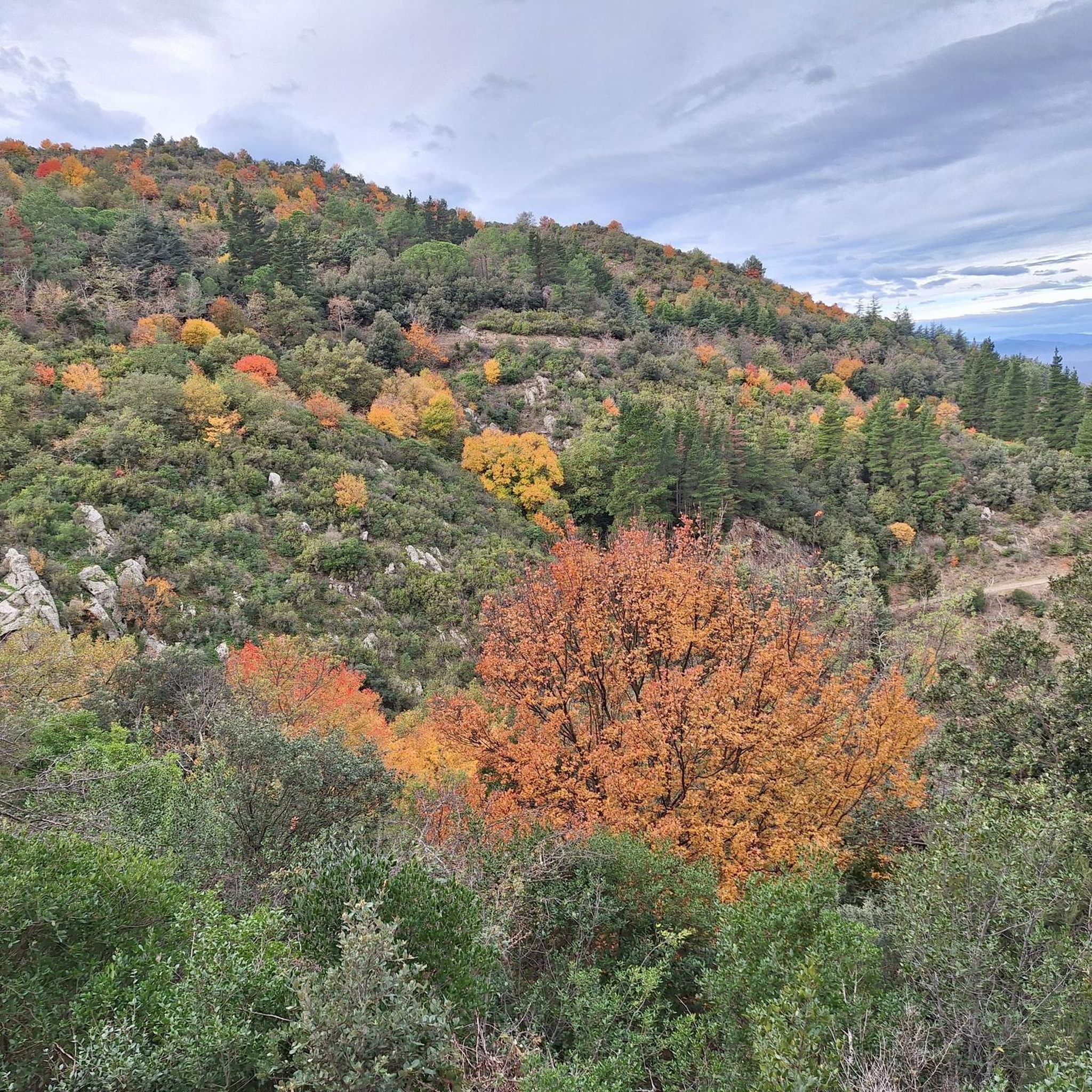
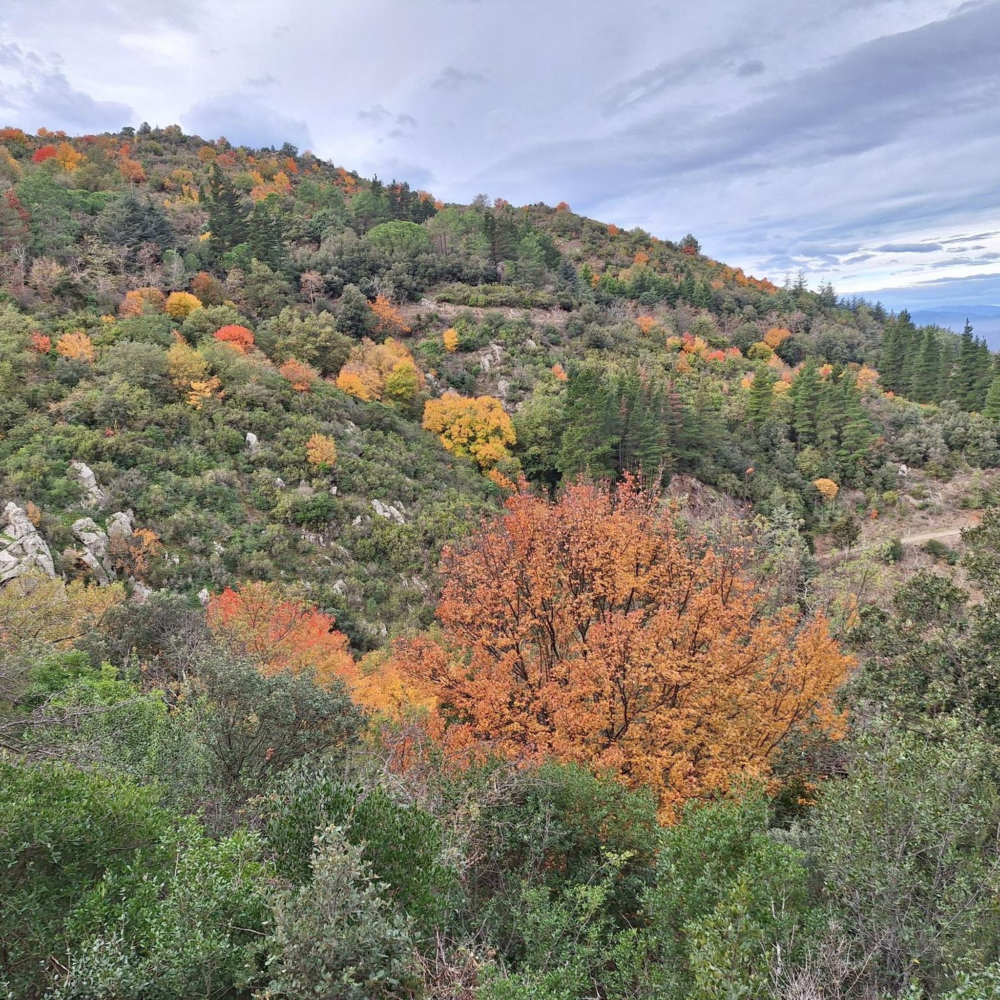
The Albères massif is rich in natural beauty. You'll encounter diverse landscapes, from forested paths to more rocky, alpine sections near the summits. The region is known for its rich flora, charming springs, and murmuring fountains along its trails. From viewpoints, you'll see vast plains, the Mediterranean Sea, and other prominent peaks like Canigou.
What other outdoor activities can I do near the mountain peaks of Montesquieu-des-Albères?
Beyond hiking, the area around Montesquieu-des-Albères offers various outdoor activities. You can explore numerous running trails, including a challenging 'Puig Neulós (1,257 m) loop' or easier 'Running loop from Montesquieu-des-Albères'. For cycling enthusiasts, there are gravel biking routes like the 'Laroque-des-Albères – Cycle Path Through the Fields loop'. Find more options in the Running Trails and Gravel Biking around Montesquieu-Des-Albères guides.
Which peak is the highest in the Albères massif and offers views of both France and Spain?
Puig Neulós (also known as Pic Néoulous) is the highest point of the Albères massif, standing at 1,256 meters above sea level. It marks the Franco-Spanish border and provides an impressive panorama over Roselló and Alt Empordà, with views extending to the French and Catalan Mediterranean Sea.
Can I bring my dog on the mountain trails around Montesquieu-des-Albères?
While specific regulations for dog-friendly hiking can vary, the Albères massif is generally appreciated by nature enthusiasts. It's always recommended to keep dogs on a leash, especially in protected areas or during wildlife breeding seasons, and to check for any local signage regarding dog policies before heading out on a trail.
What is the best time of year to visit the mountain peaks near Montesquieu-des-Albères for hiking?
The Albères massif offers beautiful hiking experiences throughout much of the year. Spring and autumn generally provide pleasant temperatures and vibrant scenery, making them ideal for exploring. Summer can be warm, so early morning hikes are recommended. Winter hiking is possible, but some routes, especially at higher elevations, may be more challenging due to snow or ice, requiring appropriate gear and experience.
Are there any peaks that offer a good vantage point into Catalonia?
Yes, Roc dels Tres (1,093 m) is noted as providing a good vantage point into Catalonia. Additionally, from Puig Neulós, you can enjoy extensive views over Alt Empordà in Catalonia.
What are some popular circular hiking routes that include mountain peaks in this region?
Several circular hikes incorporate the region's peaks. For instance, the 'Puig de la Balma – Puig Saint-Christau Summit loop' and the 'View of Fuente de la Salud – Puig Saint-Christau Summit loop' are popular options that take you to Puig Saint-Christau Summit. Many routes in the Albères massif are designed as loops, offering diverse landscapes and views. You can find more detailed loop trails in the Hiking around Montesquieu-Des-Albères guide.
Where can I find accommodation or places to eat near the mountain peaks in Montesquieu-des-Albères?
Montesquieu-des-Albères serves as an excellent base for exploring the surrounding peaks. The village itself offers various accommodation options, cafes, and pubs. For specific details on local establishments, it's best to check local tourism resources. The village is well-equipped to cater to visitors exploring the Albères massif.
How accessible are the trailheads for the mountain peaks from Montesquieu-des-Albères?
Montesquieu-des-Albères is strategically located at the foothills of the Albères massif, making many trailheads easily accessible from the village. Many popular hiking loops, including those to Puig Saint-Christau Summit, originate directly from Montesquieu-des-Albères or nearby points. Parking is generally available at common starting points, and while public transport options might be limited directly to remote trailheads, the village itself is a central hub.
Most popular routes around Montesquieu-Des-Albères
Most popular attractions around Montesquieu-Des-Albères

Get inspired with the komoot mobile app


Explore more
See even more amazing summits around Montesquieu-Des-Albères with these guides:
