The best running trails in the Taiyetos Oros Mountains
4.5
(11)
735
runners
53
runs
Jogging in the Taiyetos Oros Mountains offers diverse landscapes, from dense pine forests to rugged limestone peaks. The region features an extensive network of trails, including sections of the European E4 long-distance path, suitable for various intensities of running. Lower slopes are characterized by Mediterranean vegetation, while higher elevations present coniferous forests and subalpine zones. These natural features provide varied terrain for runners exploring the Peloponnese peninsula.
Best jogging routes in the Taiyetos Oros Mountains
- The most popular jogging route…
Last updated: July 11, 2026
5.0
(1)
77
runners
16.8km
01:49
110m
110m
Hard run. Very good fitness required. Mostly paved surfaces. Suitable for all skill levels.
58
runners
10.9km
01:09
50m
50m
Moderate run. Good fitness required. Mostly paved surfaces. Suitable for all skill levels.

Sign up for free
42
runners
18.3km
02:37
850m
850m
Hard run. Very good fitness required. Mostly accessible paths. Some sure footedness required.
4.0
(1)
42
runners
9.76km
01:04
80m
80m
Moderate run. Good fitness required. Mostly paved surfaces. Suitable for all skill levels.
12
runners
8.91km
00:59
50m
50m
Moderate run. Good fitness required. Mostly paved surfaces. Suitable for all skill levels.
5.0
(1)
34
runners
12.8km
01:29
60m
60m
Moderate run. Good fitness required. Mostly paved surfaces. Suitable for all skill levels.
5.0
(1)
35
runners
33.6km
05:00
1,750m
1,750m
Hard run. Very good fitness required. Mostly accessible paths. Some sure footedness required.
26
runners
10.9km
01:11
30m
30m
Moderate run. Good fitness required. Mostly paved surfaces. Suitable for all skill levels.
22
runners
9.67km
01:01
120m
120m
Moderate run. Good fitness required. Mostly paved surfaces. Suitable for all skill levels.
21
runners
10.1km
01:10
150m
150m
Moderate run. Good fitness required. Mostly paved surfaces. Suitable for all skill levels.
Get access to more routes and recommendations from other explorers.
Sign up for free
Already have an account?
Our route recommendations are based on thousands of hikes, rides, and runs completed by other people on komoot.
Start today with a free account
Your next adventure awaits.
Login or Signup
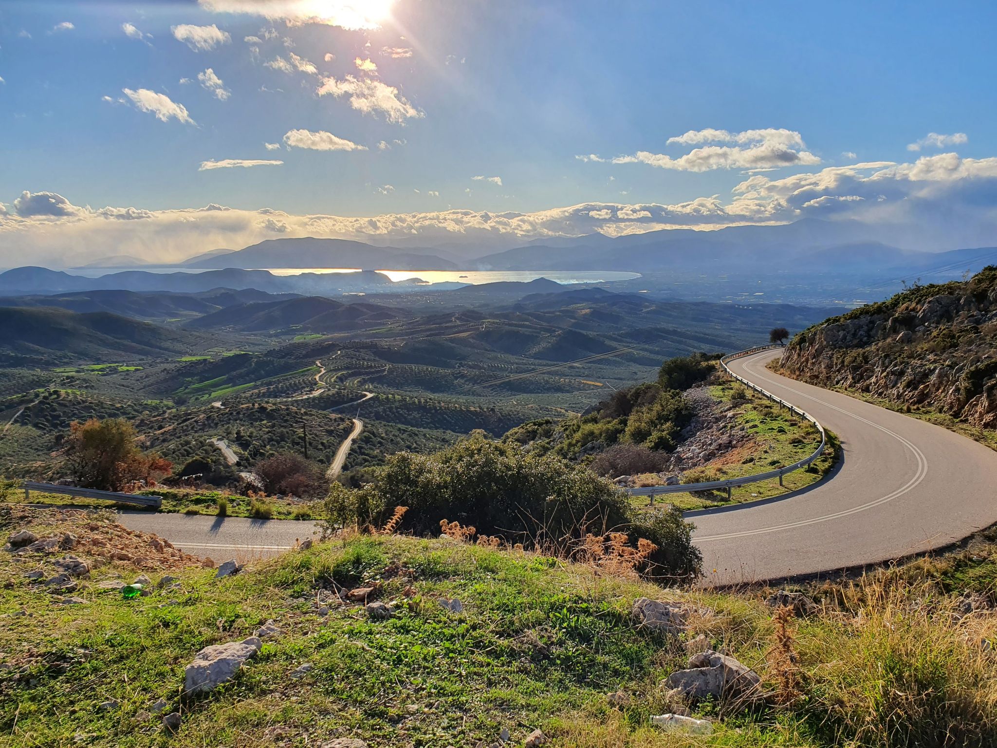
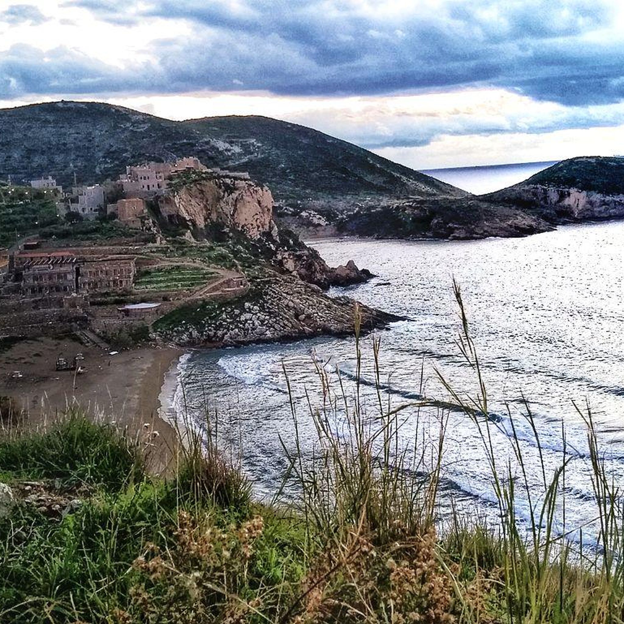
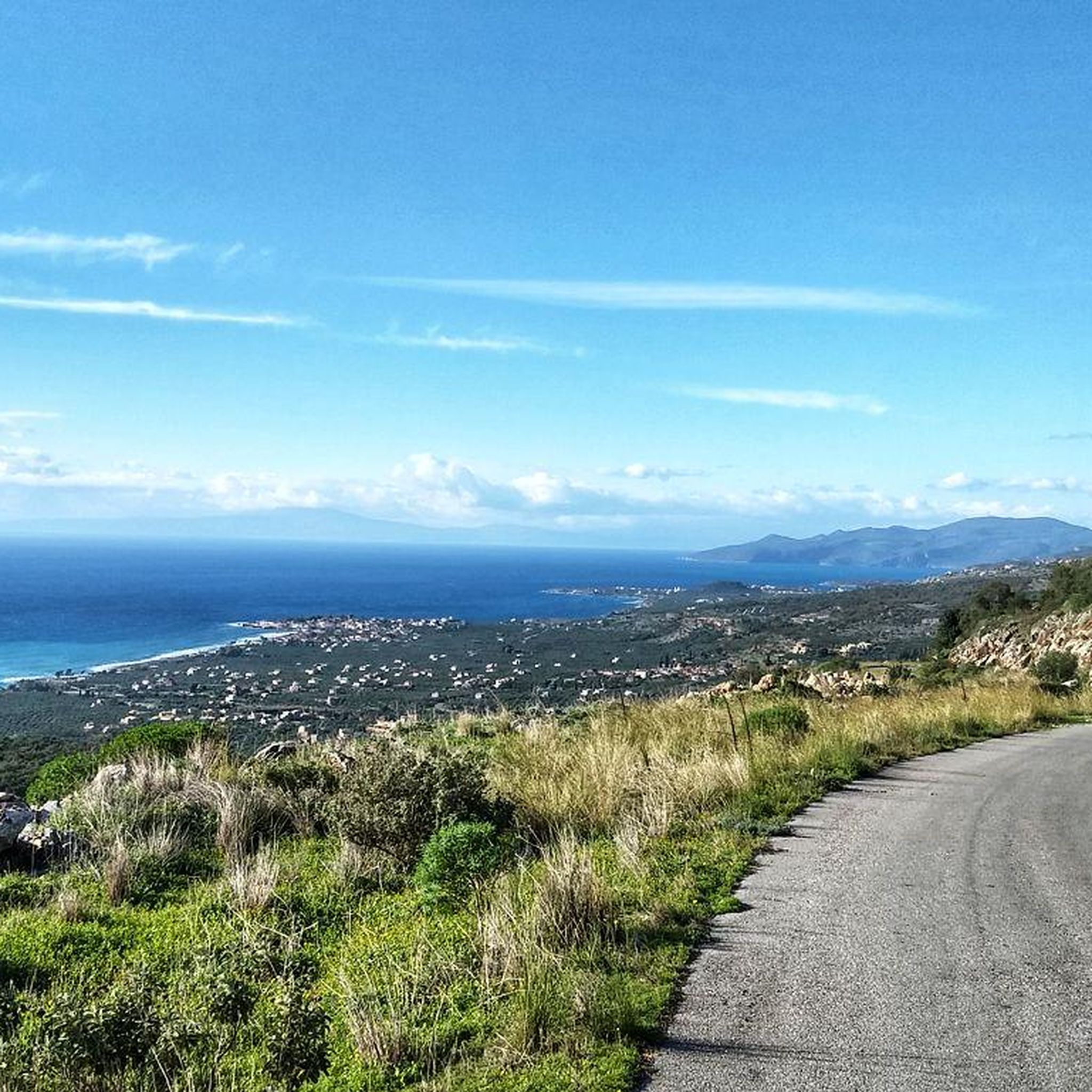
Other adventures in the Taiyetos Oros Mountains

Tips from the Community

A small church dating from 1604, perched high on a plateau above the old town of Kardamily, with benches and drinking water. Unfortunately, the church was locked, so we couldn't see the apparently well-preserved historical frescoes (described on an information panel in front of the church).
1
0

Beautiful cycle path along the coast.
0
1

The Menalon Trail in Greece https://youtu.be/cbY4s_B6bi4 The route hiked: Start in Stemnitsa Total route: https://www.komoot.com/de-de/tour/1921423020
1
0

Really great bike path along the rocky coast.
0
0

Village and harbor like in a picture book, good for a drink.
0
0

It stands at Verga, beside the main road leading from Kalamata to Kitries and near the wall of Verga. It is a memorial of the soldier from Mani and it is related with the wall of Verga where soldiers from Laconia and Messenia won the battle against the army of Ibrahim on June of 1826.
1
0

Important remnants of Verga wall and memorial monument to the Mani warriors who resisted Ibrahim's army in 1826, during the Greek War of Independence from the Ottoman Empire. At the entrance of the Messenian or Outer Mani is Kato Verga (Lower Verga), at a distance of 8 km from the city of Kalamata. Together with Ano Verga (Upper Verga) and the beach of Verga they formed the old province of Selitsa. The renaming from Selitsa to Kato Verga took place in 1956, in memory of the historic stone wall, about 1,000 meters long, 1.5 - 2 m high, with 1,000 musket slits. It was built in 1826 by Maniates and Messenians, to withstand Ibrahim's attacks and is known as the "Wall of Verga". Many parts of the wall are preserved today. The wall started from a rocky location of Kato Verga and reached the sea, where today the monument of the Maniate warrior stands. There, in Kato Verga, from 22 to 24 June 1826, during the Greek War of Independence from the Ottoman Empire, the "Battle of Verga" took place. It was Ibrahim's first defeat, whose Turkish-Egyptians up until then had conquered Tripolitsa and Missolonghi, had destroyed Papaflessas in Maniaki and burned and pillaged villages and crops in Morea.
1
0
Frequently Asked Questions
How many running routes are available in the Taiyetos Oros Mountains?
The Taiyetos Oros Mountains offer a wide selection of over 50 running routes. These trails cater to various preferences, from gentle paths to challenging ascents, ensuring there's something for every runner.
What kind of terrain can I expect on the running trails in the Taiyetos Oros Mountains?
The terrain in the Taiyetos Oros Mountains is incredibly diverse. You'll find everything from well-trodden forest paths providing ample shade, to rugged limestone peaks and sections with natural 'pavement' made of limestone plates. Some routes also feature coastal areas, offering a mix of surfaces for your run.
Are there any easy or beginner-friendly running routes in the Taiyetos Oros Mountains?
Yes, there are routes suitable for beginners. While many trails are moderate or difficult, you can find easier paths. For example, some sections, like a 2-kilometer path linking Agia Irini with Trypi, are even manageable by bicycle, indicating a relatively smooth surface perfect for an easier jog.
What are some notable landmarks or scenic viewpoints I can see while running in the Taiyetos Oros Mountains?
The Taiyetos Oros Mountains are rich in natural beauty and historical sites. You can enjoy magnificent panoramic views of the Evrotas Valley and Messinian Bay from higher elevations. Along some routes, you might encounter impressive gorges like Rindomo Gorge or Vyros Gorge. Historical sites such as Kardamyli Old Town and the Byzantine complex of Mystras also offer picturesque backdrops for your run.
Are there any circular running routes in the Taiyetos Oros Mountains?
Yes, many of the running routes in the Taiyetos Oros Mountains are designed as loops, allowing you to start and finish at the same point. Examples include the challenging View of Agios with Rainbow loop from Riglia and the moderate View of Agios with Rainbow loop from Stoupa, both offering diverse scenery.
What is the best time of year to go running in the Taiyetos Oros Mountains?
The Taiyetos Oros Mountains offer great running conditions for much of the year. During summer, the dense pine forests provide welcome shade. The varied vegetation, including aromatic plants like oregano and thyme, adds to the sensory experience, making spring and early autumn particularly pleasant for running.
Are there any running routes that are suitable for families with children?
While many routes involve varied terrain, some of the easier, less technical paths, particularly those described as easy hikes near villages or well-trodden forest paths, could be suitable for families. Look for routes with minimal elevation gain and smoother surfaces, such as the 2-kilometer path linking Agia Irini with Trypi, which is also bike-friendly.
What do other runners enjoy most about the running trails in the Taiyetos Oros Mountains?
The running trails in the Taiyetos Oros Mountains are highly rated by the komoot community, with an average score of 4.4 stars from 9 reviews. Runners often praise the diverse landscapes, from dense pine forests to rugged peaks and coastal paths, as well as the extensive network of trails that cater to different ability levels.
Are there any cafes or places to get refreshments near the running trails?
The region has little villages scattered across the foothills, often connected by old mule tracks. These villages, such as Kardamyli, are likely to have local cafes or tavernas where you can find refreshments after your run. It's always a good idea to check local listings for specific amenities near your chosen trailhead.
Can I find running routes that offer views of the sea or coastal scenery?
Yes, the Taiyetos Oros Mountains region extends to coastal areas, offering routes with beautiful sea views. For example, the Rocky beach ⛱️ loop from Λιμένι and the Kalamata Beach loop from Mikra Mantineia Community lead through coastal areas, providing a refreshing change of scenery with views of the Messinian or Laconian Bay.
What is the typical length of running routes in the Taiyetos Oros Mountains?
Running routes in the Taiyetos Oros Mountains vary significantly in length. You can find shorter routes, such as the Παραλία Πανταζή loop from Riglia at around 6 kilometers, to much longer and more challenging trails like the Stone Cairn on Nature Trail loop from Kardamyli, which spans over 33 kilometers.
Are there any less crowded running trails in the Taiyetos Oros Mountains?
While popular routes attract more visitors, the extensive network of trails, including sections of the European E4 long-distance path, means you can often find quieter paths. Exploring trails that connect smaller, historical villages via old paved mule tracks might offer a more serene running experience away from the main tourist hubs.
Most popular routes in the Taiyetos Oros Mountains
Most popular attractions in the Taiyetos Oros Mountains

Get inspired with the komoot mobile app


Explore more
Browse the best Running Trails & Routes in other regions.
