The best mountain hikes in Περιφερειακή Ενότητα Λάρισας
5.0
(38)
277
hikers
8
hikes
Mountaineering routes in Περιφερειακή Ενότητα Λάρισας traverse a diverse and impressive natural landscape, featuring a significant portion of Greece's highest mountains. The region is characterized by the iconic Mount Olympus, with its peak Mytikas at 2,918 meters, and Mount Ossa (Kissavos) reaching 1,978 meters. These prominent ranges are interspersed with the historically significant Tempi Valley, lush forests, and rivers like the Pinios, offering varied terrain for mountaineering.
Best mountaineering routes in Περιφερειακή Ενότητα Λάρισας
- The most popular mountaineering route is…
Last updated: October 14, 2026
15
hikers
16.0km
08:14
1,650m
1,650m
Hard mountaineering route. Very good fitness required. Sure-footedness, sturdy shoes and alpine experience required.
5.0
(3)
35
hikers
16.0km
07:17
1,210m
1,210m
Hard mountaineering route. Very good fitness required. Sure-footedness, sturdy shoes and alpine experience required.

5.0
(6)
22
hikers
5.50km
03:48
750m
740m
Moderate mountaineering route. Good fitness required. Mostly accessible paths. Sure-footedness required.
5.0
(1)
14
hikers
10.8km
05:25
840m
840m
Hard mountaineering route. Very good fitness required. Mostly accessible paths. Sure-footedness required.
11
hikers
3.01km
01:26
210m
210m
Hard mountaineering route. Great for any fitness level. Sure-footedness, sturdy shoes and alpine experience required.
Get access to more routes and recommendations from other explorers.
Already have an account?
Our route recommendations are based on thousands of hikes, rides, and runs completed by other people on komoot.
Start today with a free account
Your next adventure awaits.
Popular around Περιφερειακή Ενότητα Λάρισας
Mountain Hikes in the Mount Olympus Mountains
Mountain Hikes in Σιόποτο-Δούλος-Παλιάμπελα (Κοκκινοπηλός-Καλύβια)
Holy mountains and their stories
Hiking in Περιφερειακή Ενότητα Λάρισας
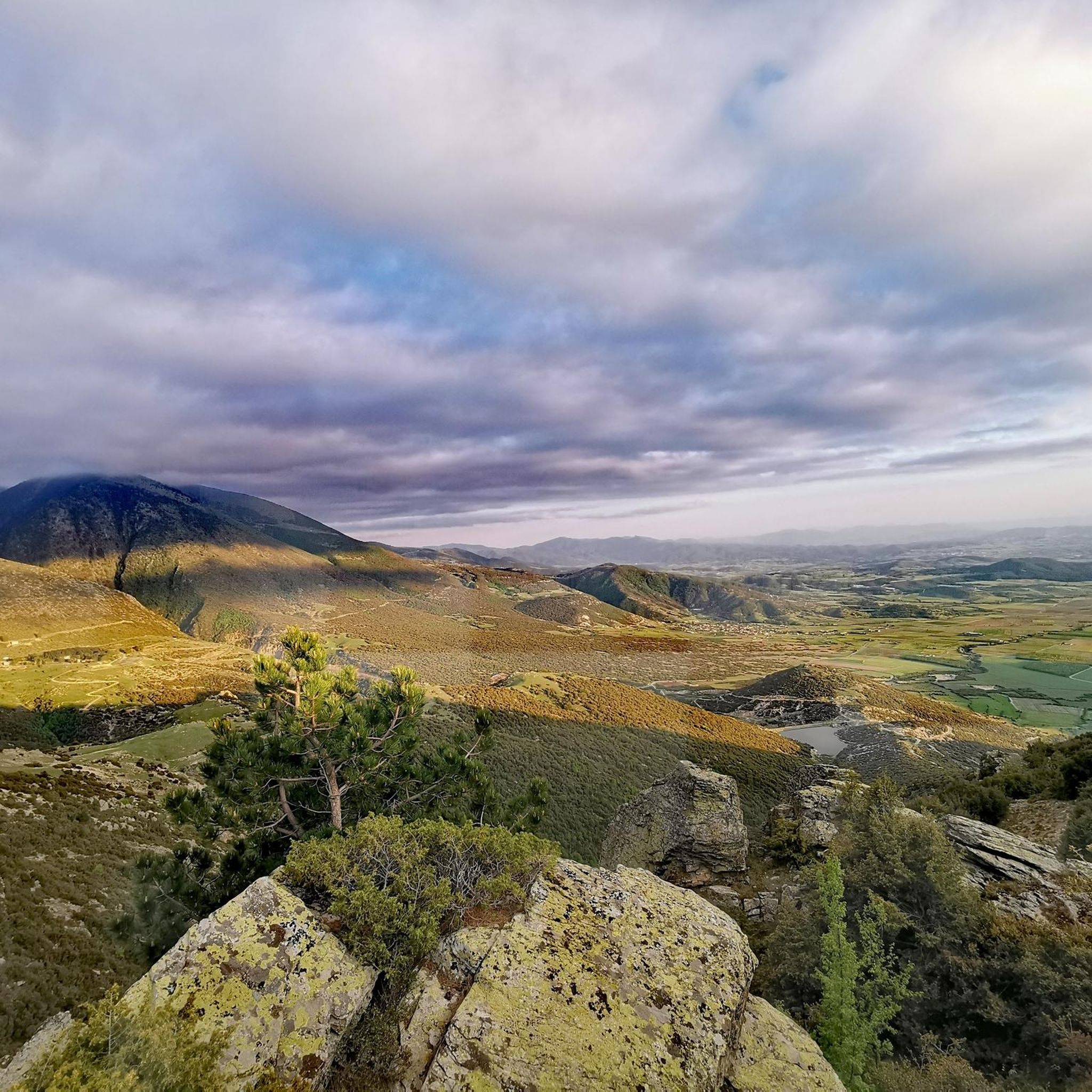
Running Trails in Περιφερειακή Ενότητα Λάρισας
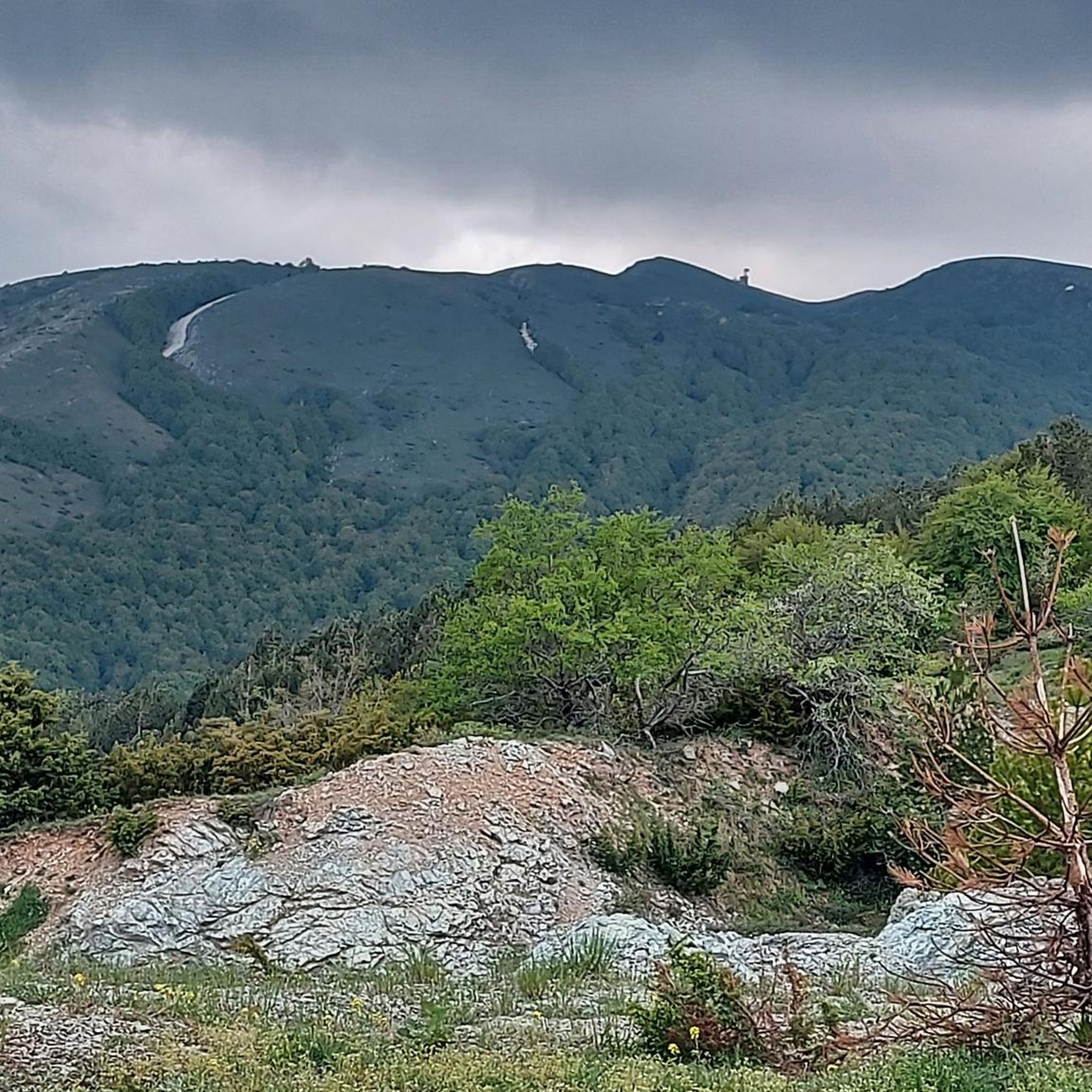
MTB Trails in Περιφερειακή Ενότητα Λάρισας
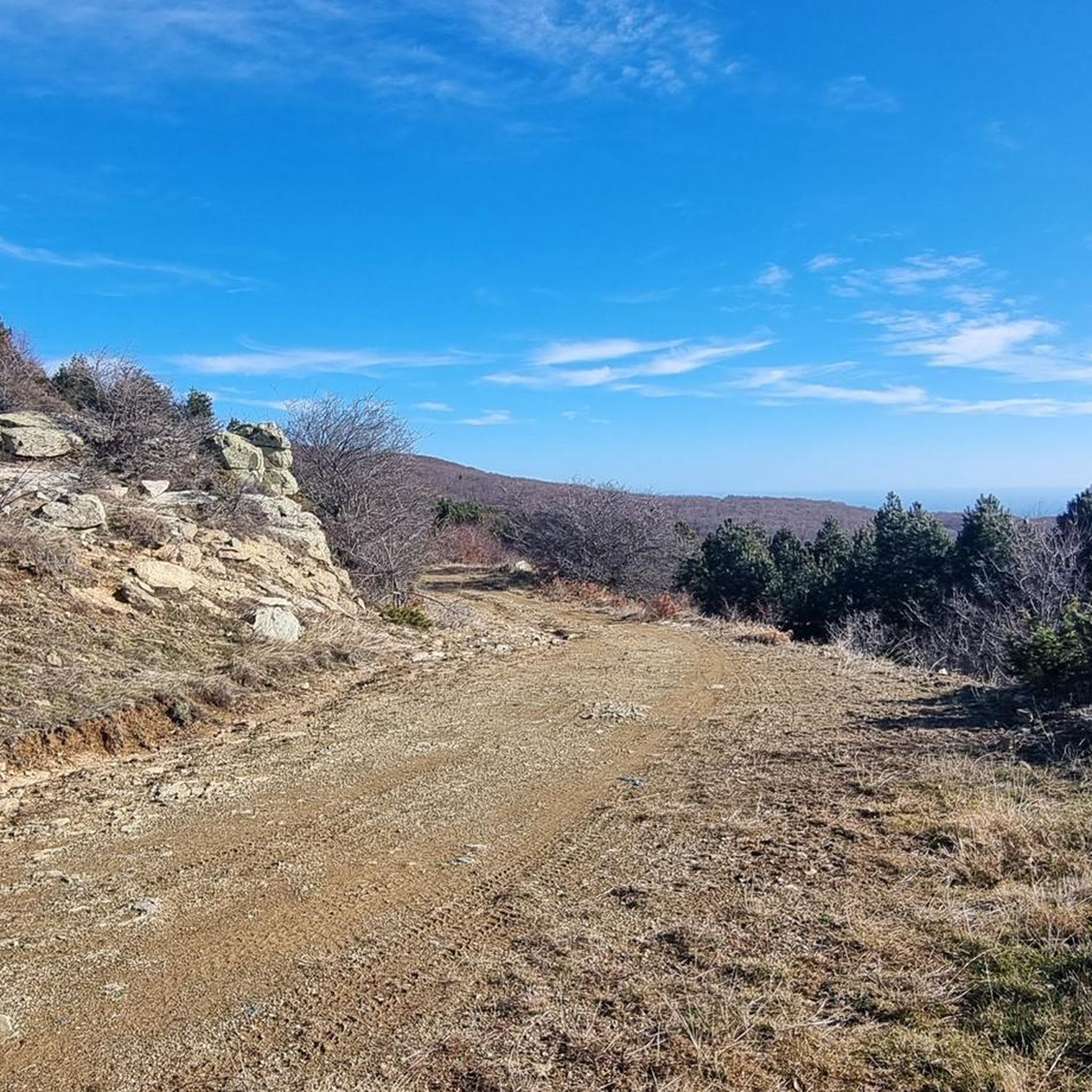
Road Cycling Routes in Περιφερειακή Ενότητα Λάρισας
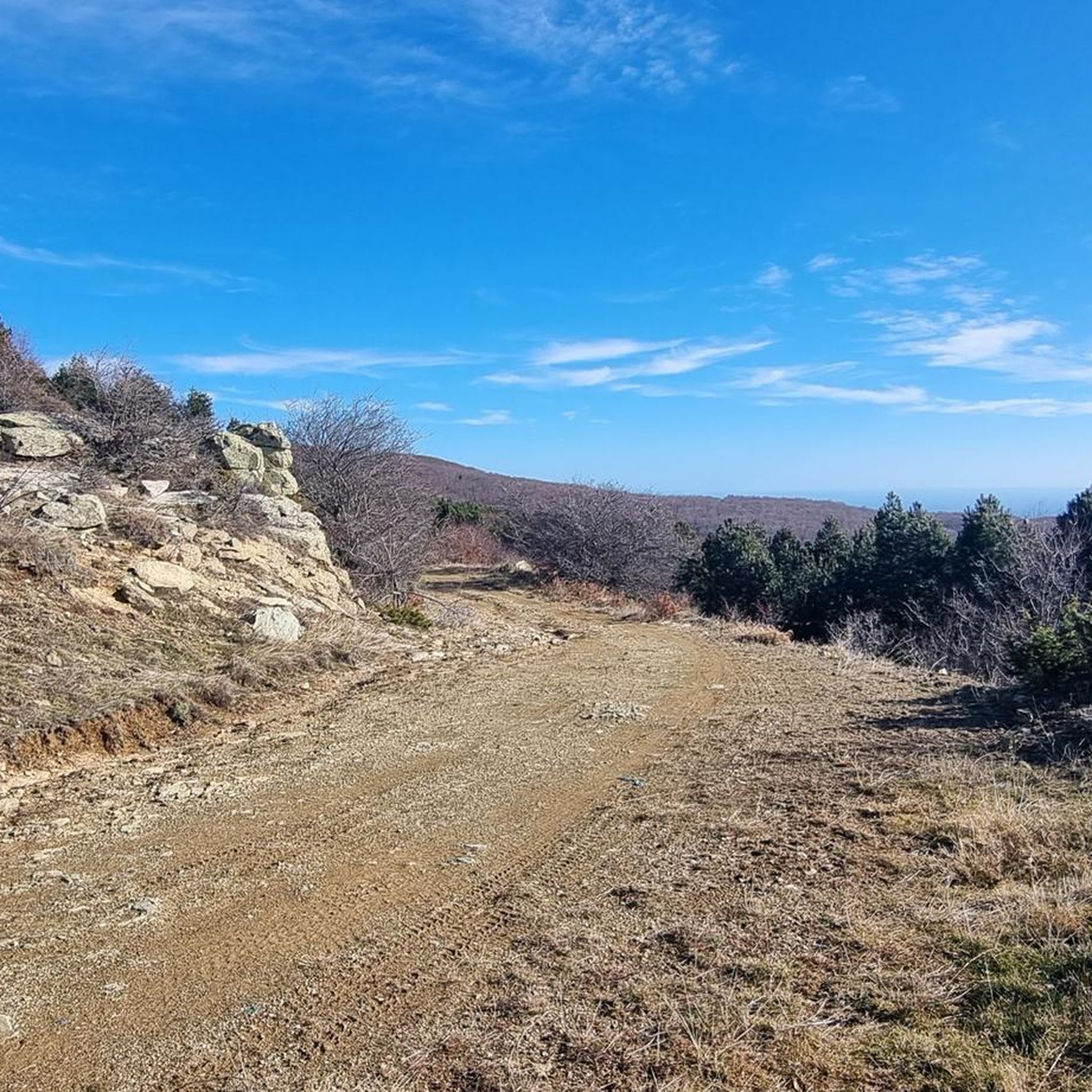
Cycling in Περιφερειακή Ενότητα Λάρισας
Other adventures in Περιφερειακή Ενότητα Λάρισας

Tips from the Community

Unimaginable that a path leads along here. But the crossing is great, as you see Mitikas & Stephanie up close. Watch out for falling stones.
0
0
Great view of Mythikas & Stephano. You can see Refugio C from here. Brilliant viewpoint that is technically easy to hike.
0
0

Warm shelter, great hospitality, nice food, and a good base to sleep over before any peak of Mt Olympus
1
0

From Prionia, it's 950 meters in elevation to the well-equipped hut at 2100 meters. Approximately 2 to 2.5 hours of total walking time. It's a good place to stay overnight and eat. And you can also buy water, as there's no drinking water up there! From the hut, it's another 550 meters in elevation to the summit. Windy, cloudy, and sometimes cold, even in summer!
0
1
Easy after all previous hike, so definitely worse it. way back can cut a little by lower path
0
0

Very, very rewarding. I personally climbed the summit in snow (mid-May). The last part from Skala to Mytika was absolutely not easy and requires experience hiking and climbing in less than optimal conditions, at least in snow. The summit is still highly recommended and is certainly a lot easier in season. :)
1
0

In winter the path ends here
0
0

You have to be very careful here because the path is really steep. A helmet is recommended, especially when there are a lot of people, because stones could fall. If you don't have a helmet with you, you can rent one in Spilios Agapitos for 5 euros. The markings are good, but you can lose them for a moment in some places. The stones are also slippery here and there. For people who are afraid of heights (like me) there are also airy places. But it's a lot of fun!
6
0
Frequently Asked Questions
What types of mountaineering routes can I find in Περιφερειακή Ενότητα Λάρισας?
The region offers a diverse range of mountaineering experiences, primarily focused on high mountain peaks, deep gorges, and forested slopes. You'll find routes suitable for both moderate and difficult skill levels, with a significant portion exploring the iconic Mount Olympus and Mount Ossa (Kissavos).
Are there any moderate mountaineering routes suitable for those with some experience?
Yes, there are several moderate routes. For example, the Skala Peak (Mount Olympus) loop from Olympos National Park is a moderate 5.7 km trail that takes about 3 hours 32 minutes. Another option is the Refuge Petrostrouga loop from Dion - Olympos Municipality, which is a moderate 9.4 km route.
What are some challenging mountaineering routes for experienced climbers?
For experienced mountaineers, the region offers demanding trails. The Enipeas Gorge – View of Mount Olympus loop from Enipeas Waterfall is a difficult 18.3 km trail, typically taking nearly 10 hours. Another challenging option is the Skolio Summit – 2,911 m – Skala Peak (Mount Olympus) loop from Μαγούλες, a difficult 15.9 km path ascending towards one of Mount Olympus's high points.
What natural attractions can I see along the mountaineering routes?
Many routes offer stunning natural sights. You can encounter the dramatic Tempi Valley between Mount Olympus and Mount Ossa, or reach high points like Mytikas Summit (2,918 m) and Skolio Summit (2,911 m) on Mount Olympus. The region also features verdant slopes, gorges carved by torrents, and the Pinios River.
Are there any significant mountain peaks to aim for in the region?
Absolutely. The most prominent is Mytikas Summit on Mount Olympus, Greece's highest peak at 2,918 meters. Other notable summits include Skolio Summit (2,911 m) on Olympus and Mount Ossa (Kissavos) with its highest point, Profitis Ilias, at 1,978 meters.
What do other mountaineers say about the routes in Περιφερειακή Ενότητα Λάρισας?
The mountaineering routes in Περιφερειακή Ενότητα Λάρισας are highly regarded by the komoot community, boasting an average rating of 4.98 stars from over 37 reviews. Mountaineers often praise the challenging yet rewarding ascents, the breathtaking views of Mount Olympus, and the diverse natural beauty of the landscapes.
Are there any specific areas known for their biodiversity or protected status?
Yes, a substantial part of Mount Olympus is designated as a National Park and a UNESCO Biosphere Reserve, renowned for its wild beauty and rich biodiversity of flora and fauna. Additionally, the northeastern section of Mount Ossa is recognized as an Aesthetic Forest.
Where can I find mountaineering shelters in the region?
Mount Olympus offers five mountaineering shelters for visitors. On Mount Ossa, the Larissa Mountaineering Club (EOS Larissa) maintains a high-quality shelter at Kanalos, situated at an altitude of 1604 meters, providing a convenient stop for climbers.
Are there any organizations that support mountaineering in the area?
Yes, the Greek Mountaineering Club of Larissa (EOS Larissa), established in 1932, actively promotes mountaineering and has mapped 20 trails across the prefecture's mountainous areas. They also organize various climbing and hiking excursions. Another group, "Ypaithrios Zoi Larissas" (Outdoor Life of Larissa), also arranges mountaineering and tourist excursions.
What is the general character of the landscape for mountaineering in Περιφερειακή Ενότητα Λάρισας?
The landscape is incredibly diverse and impressive, featuring a significant portion of Greece's highest mountains, including Mount Olympus and Mount Ossa. It's characterized by dramatic mountain ranges, deep gorges, lush forests, and rivers like the Pinios, offering varied terrain from rocky slopes to verdant, tree-covered areas.
Are there any circular routes available for mountaineering?
Yes, many of the mountaineering routes are designed as loops. For instance, the Enipeas Gorge – View of Mount Olympus loop from Enipeas Waterfall and the Skolio Summit – 2,911 m – Skala Peak (Mount Olympus) loop from Μαγούλες are both circular routes, allowing you to start and finish at the same point.
Most popular routes in Περιφερειακή Ενότητα Λάρισας
Most popular attractions in Περιφερειακή Ενότητα Λάρισας

Get inspired with the komoot mobile app


Didn’t find what you were looking for?
Check out more Mountain Hikes & Routes throughout Περιφερειακή Ενότητα Λάρισας below and find the perfect route in your destination.
Explore more
Browse the best Mountain Hikes & Routes in other regions.
