The best mountain hikes around Saint-Remèze
4.8
(6)
15
hikers
4
hikes
Mountaineering routes around Saint-Remèze are set within a landscape defined by the dramatic Gorges de l'Ardèche, featuring towering limestone cliffs and deep canyons. The region's geology also includes extensive plateaus, woodlands, and scrubland, offering varied terrain for exploration. This area provides a mix of vertical challenges and terrestrial paths, with elevations reaching up to 719 meters at the Dent de Rez.
Best mountaineering routes around Saint-Remèze
- The most popular mountaineering route is Le Pont d'Arc – Grotte Chauvet loop from…
Last updated: October 13, 2026
4.5
(2)
7
hikers
10.3km
03:24
270m
270m
Moderate mountaineering route. Good fitness required. Mostly accessible paths. Sure-footedness required.
1
hikers
5.39km
01:47
120m
120m
Hard mountaineering route. Great for any fitness level. Sure-footedness, sturdy shoes and alpine experience required.

5.0
(3)
5
hikers
Moderate mountaineering route. Good fitness required. Mostly accessible paths. Sure-footedness required.
5.0
(1)
2
hikers
6.13km
02:01
270m
270m
Moderate mountaineering route. Good fitness required. Easily-accessible paths. Suitable for all skill levels.
Our route recommendations are based on thousands of hikes, rides, and runs completed by other people on komoot.
Start today with a free account
Your next adventure awaits.
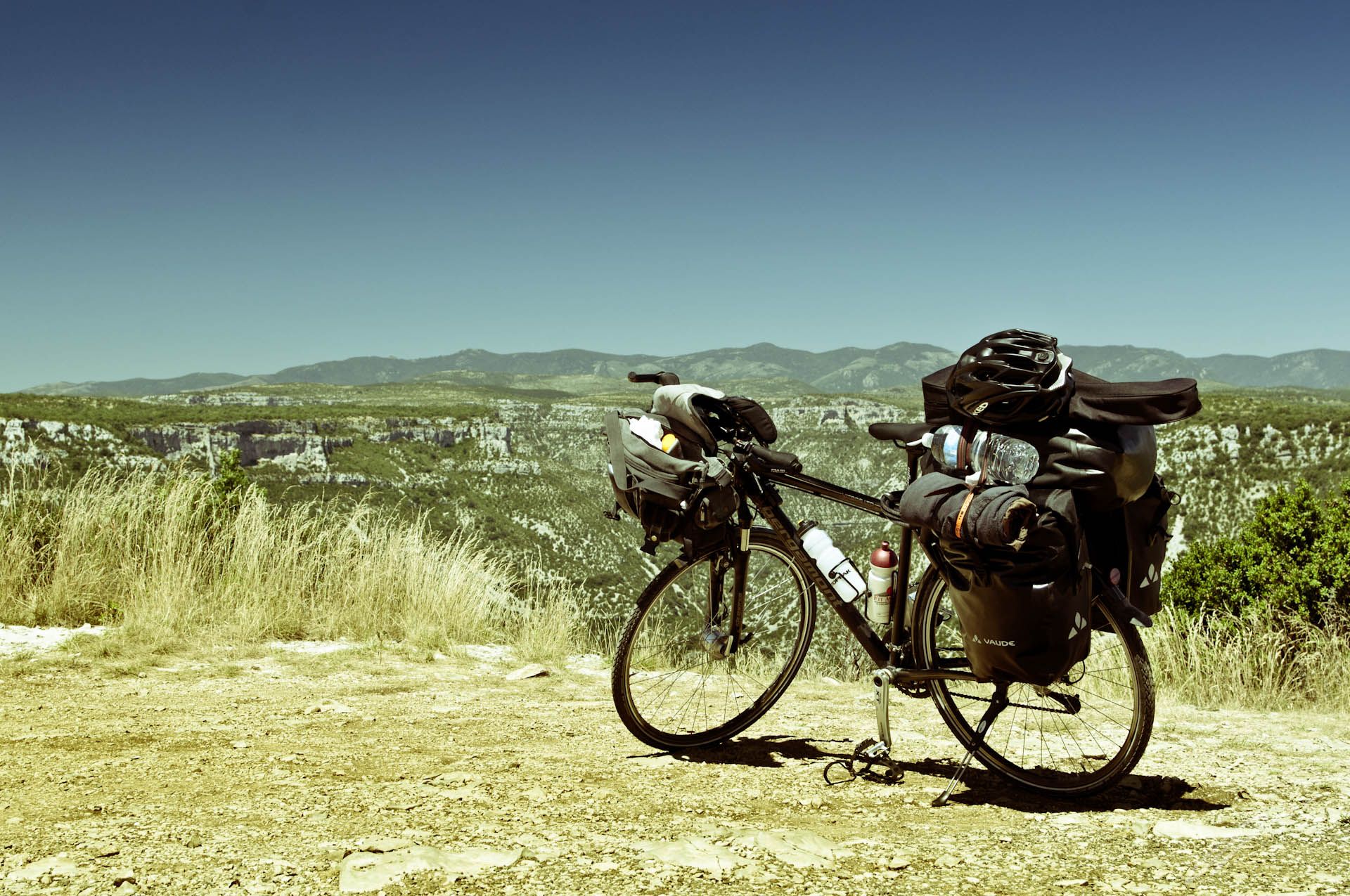
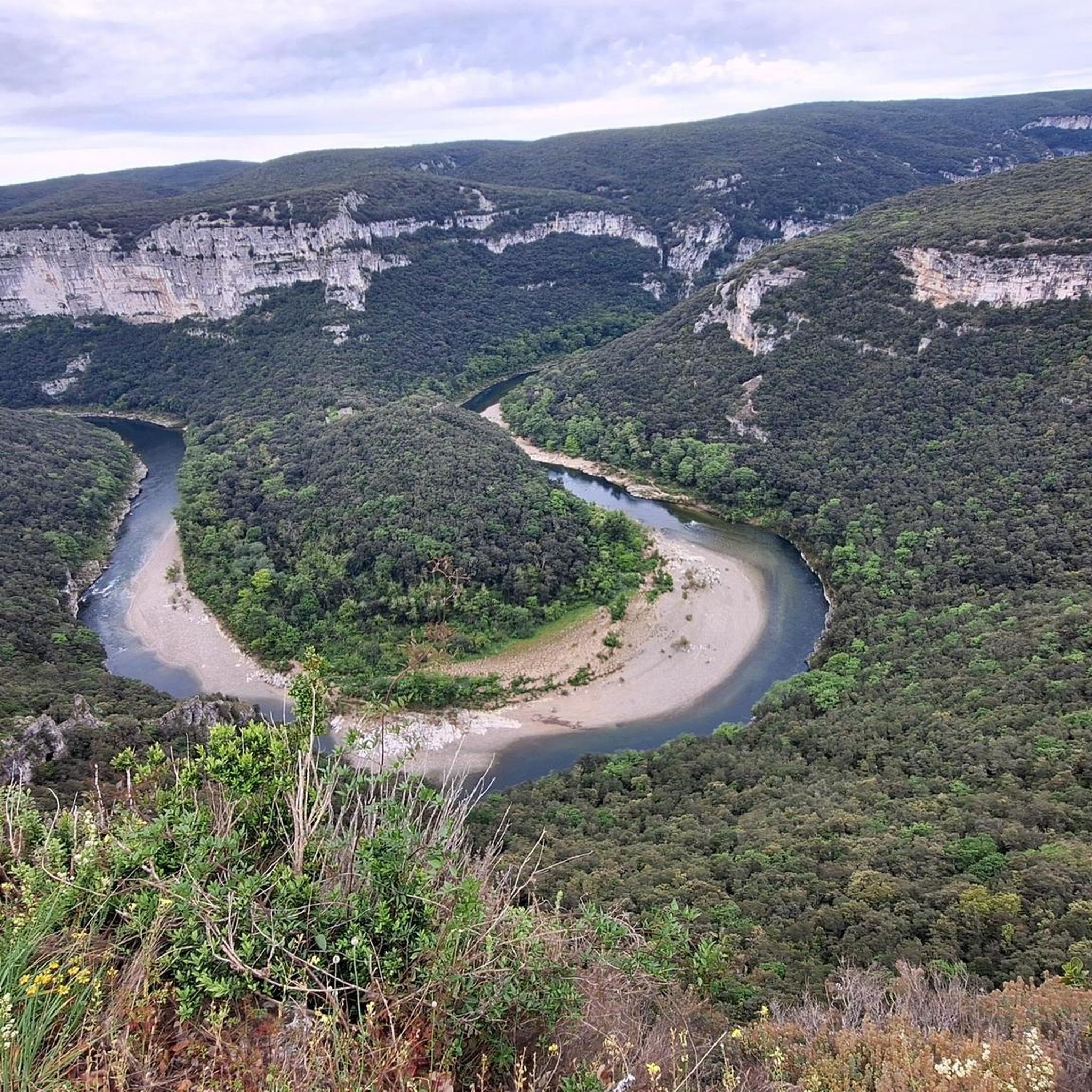
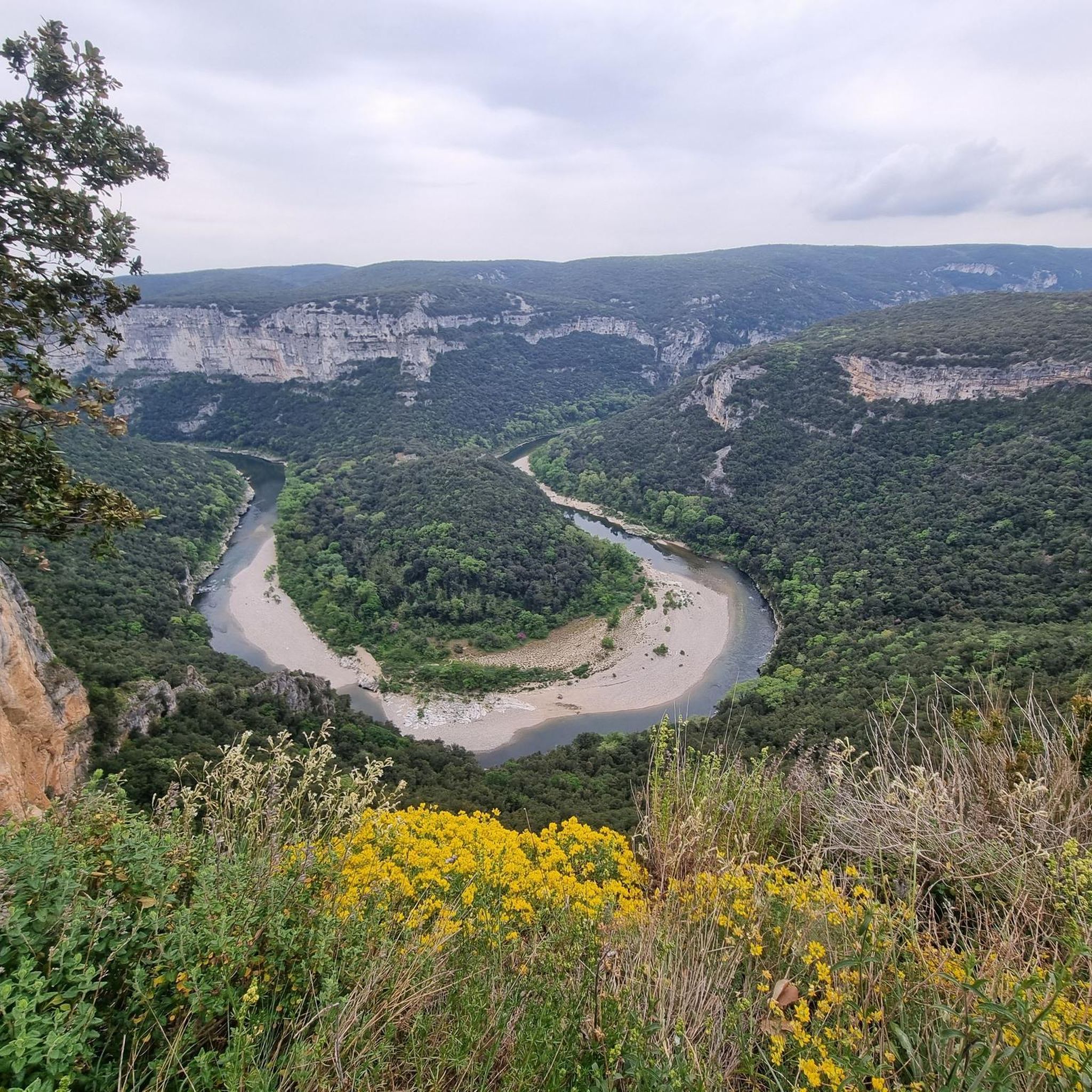
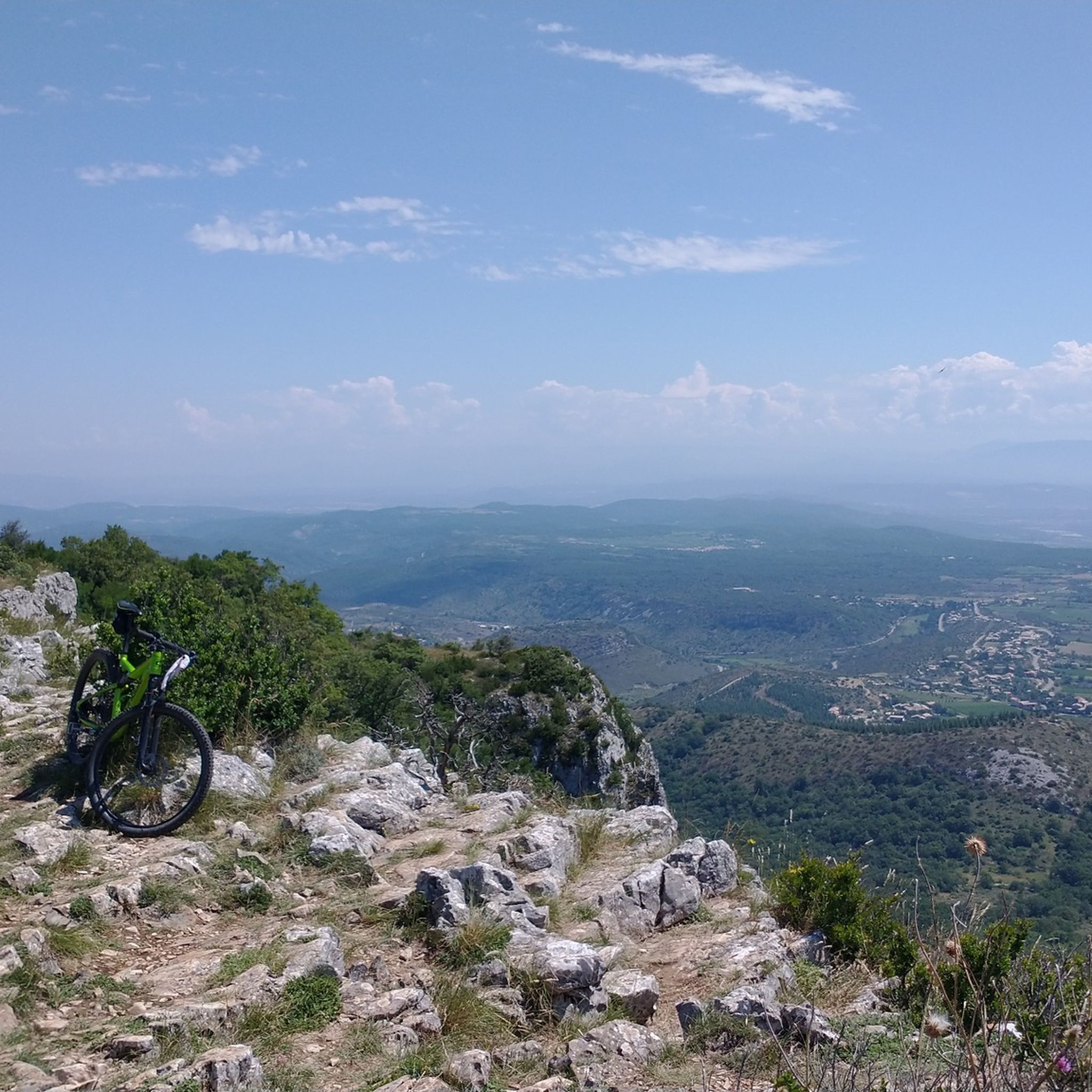

Other adventures around Saint-Remèze

Tips from the Community

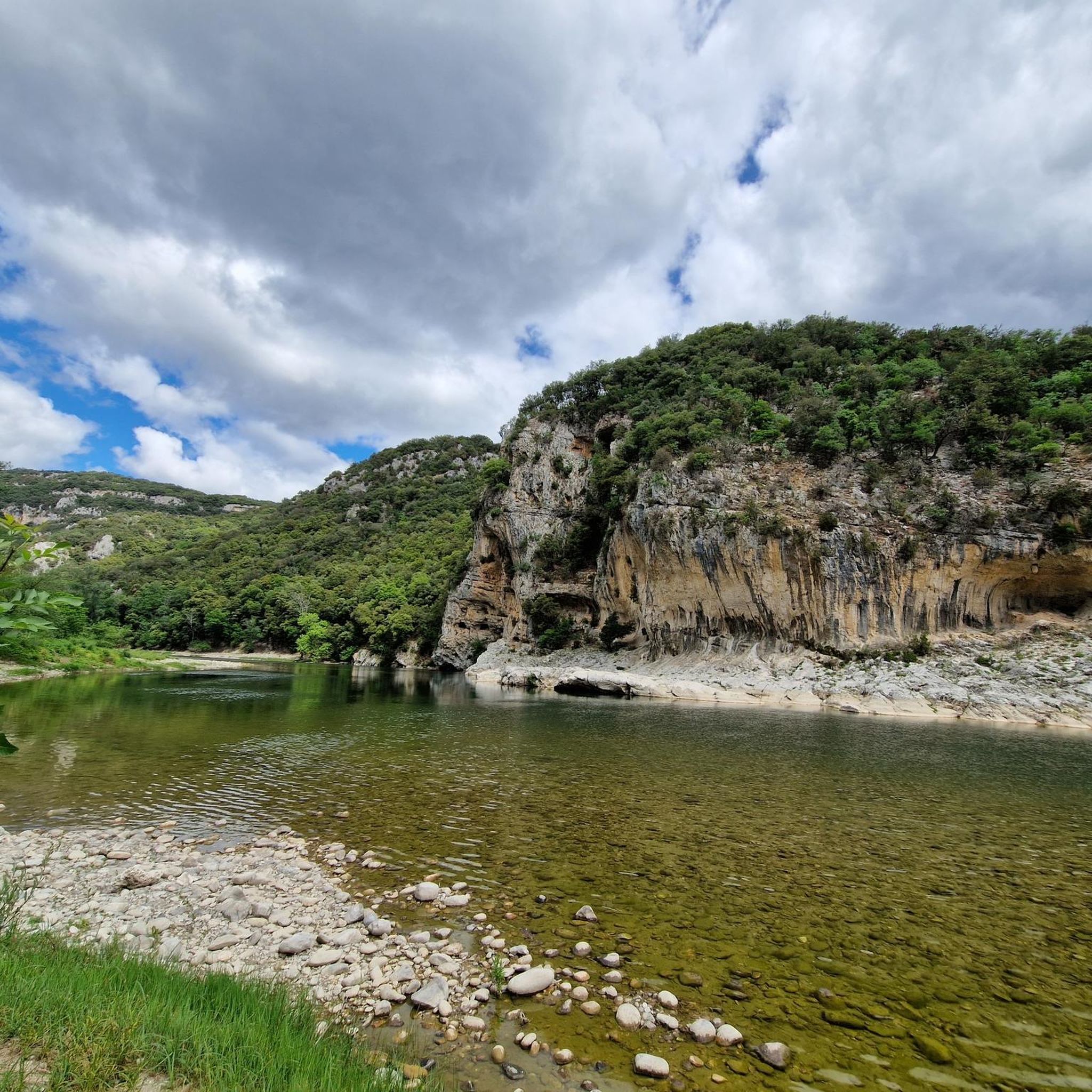
Dry canyoning the other way around. Just before the campsite on the Ardèche is the entrance to the river, which dries up in summer. I agree with the previous writer, this is not a safe hike in many parts, as it contains exposed areas, climbing and bouldering elements. I suspect that it is easier to go uphill along the river (like we did). Assuming you have the relevant experience, this is a fantastically beautiful and very special hike. I haven't had so much fun 'hiking' for a long time. But please be careful.
0
0

A city where time has stood still. Absolutely worth seeing.
4
0

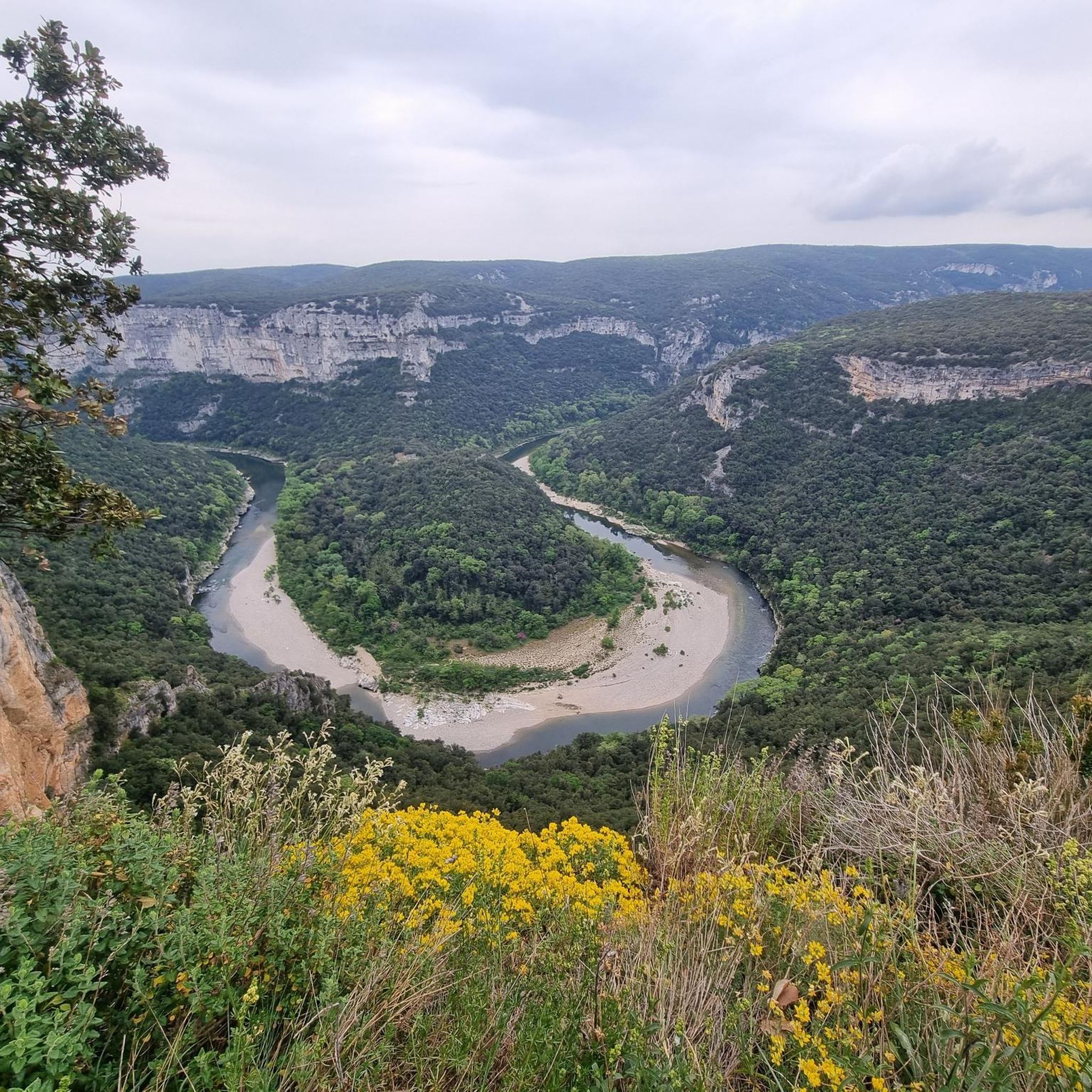
An interesting whim of nature that reveals itself to the visitor here with the "Pont d'Arc Ardèche". At the same time, this natural arch broken by the river into the rock is an impressive testimony to the power of the water that has carved its way through here over time.
6
0

Otherwise you can only see the "bridge" down from the beach, from up here you have an impression of how the natural monument has integrated into the whole landscape and how the Ardeche has dug through the landscape.
6
0

From here you have a view of the Pont d'Arc, a natural arch, 54 meters high. This passage over the Ardèche was formed more than 120,000 years ago by karst erosion. The Pont d'Arc is well known to kayakers, swimmers and diving enthusiasts.
4
0
This point of view gives you a wide-angle view of the site of the Sainte-Beaume gorges. At the bottom of the panorama, you will also see the very surprising medieval village of Saint-Montan.
1
0

Perched on its rocky outcrop, the castle of Vallon dominated the plain at the entrance to the Ardèche gorges, offering a magnificent view of the southern Ardèche. Built in the 11th century, it was destroyed in 1628 during the wars of religion. The houses nestled at the foot of the castle were gradually abandoned in favor of the new town built in the plain, and are now falling into ruin.
0
0
Until the 1970s, Saint-Montan was in ruins. Since then, and still today, the Friends of Saint-Montan association has been involved in reconstruction and conservation. In front of and in this setting are popular restaurants and bars. Remember to book in advance.
3
0
Frequently Asked Questions
How many mountaineering routes are available around Saint-Remèze?
There are 5 mountaineering routes detailed in this guide for the Saint-Remèze area. These routes offer a variety of experiences within the stunning landscape of the Gorges de l'Ardèche.
What are the typical durations for mountaineering routes in Saint-Remèze?
The routes around Saint-Remèze vary in length, with durations typically ranging from approximately 1 hour 45 minutes to just over 4 hours. For example, the Le Pont d'Arc – Grotte Chauvet loop from Grotte Chauvet takes about 2 hours 30 minutes, while the longer Chastelas Ruins – View of the Pont d'Arc loop from Vallon-Pont-d'Arc can take around 4 hours 12 minutes.
Are there any circular mountaineering routes in Saint-Remèze?
Yes, all the mountaineering routes listed in this guide around Saint-Remèze are circular. This includes popular options like the View of the Pont d'Arc – Cirque d'Estre loop from Vallon-Pont-d'Arc and the Saint-Montan – Saint-Montan Medieval Village loop from Saint-Montan, allowing you to start and finish at the same point.
What is the best time of year for mountaineering in Saint-Remèze?
Saint-Remèze benefits from a Mediterranean climate with an average of 300 days of sunshine per year. This makes it an attractive destination for outdoor activities throughout much of the year, though spring and autumn generally offer the most pleasant temperatures for mountaineering, avoiding the peak summer heat.
What kind of landscapes can I expect on mountaineering routes in this region?
Mountaineering routes in Saint-Remèze are set within a diverse landscape. You'll encounter the dramatic limestone cliffs and deep canyons of the Gorges de l'Ardèche, extensive plateaus, woodlands, and scrubland. Some routes also pass through vineyards and lavender fields, offering varied and scenic views.
Are there any family-friendly mountaineering options around Saint-Remèze?
While specific 'easy' routes are not highlighted for mountaineering, many of the moderate routes can be suitable for families with some hiking experience. The Le Pont d'Arc – Grotte Chauvet loop from Grotte Chauvet, at 7.5 km and 2 hours 30 minutes, offers iconic views and might be a good option for active families.
What interesting landmarks or attractions can I see along the mountaineering routes?
Many routes offer views of the iconic Pont d'Arc, a natural arch that serves as a gateway to the Gorges de l'Ardèche. You can also explore the Ardèche Gorges Nature Reserve, or pass by historical sites like the medieval village on the Saint-Montan – Saint-Montan Medieval Village loop from Saint-Montan.
What do other mountaineers enjoy most about the routes in Saint-Remèze?
The mountaineering routes around Saint-Remèze are highly rated by the komoot community, with an average score of 4.9 stars. Reviewers often praise the breathtaking panoramic views, especially of the Gorges de l'Ardèche and the Pont d'Arc, as well as the varied terrain that offers both vertical challenges and scenic paths.
Are there any caves or geological features to explore near the mountaineering trails?
Yes, the region's limestone geology has created numerous caves. While not directly on every mountaineering route, you can find significant caves nearby such as Grotte Saint-Marcel, Grotte Chauvet 2 (Replica of Chauvet Cave), and Aven d'Orgnac Cave, offering insights into the unique karst landscape.
Are there any difficult mountaineering routes for experienced hikers?
Yes, while most routes are moderate, there is at least one difficult mountaineering route available. The Rieussec Dry Riverbed loop from Vallon-Pont-d'Arc is classified as difficult, offering a more challenging experience for those seeking it.
What is the highest point I can reach on a mountaineering route in the Saint-Remèze area?
While not directly part of the listed routes, the Dent de Rez, standing at 719 meters, is the highest point in the Basse Ardèche and offers a remarkable 360-degree panorama. Some mountaineering routes will offer views towards this prominent peak and other high points in the region.
Most popular routes around Saint-Remèze
Most popular attractions around Saint-Remèze

Get inspired with the komoot mobile app


Explore more
Browse the best Mountain Hikes & Routes in other regions.
