The best MTB trails around Saint-Julien-Boutières
4.5
(146)
1,212
riders
57
rides
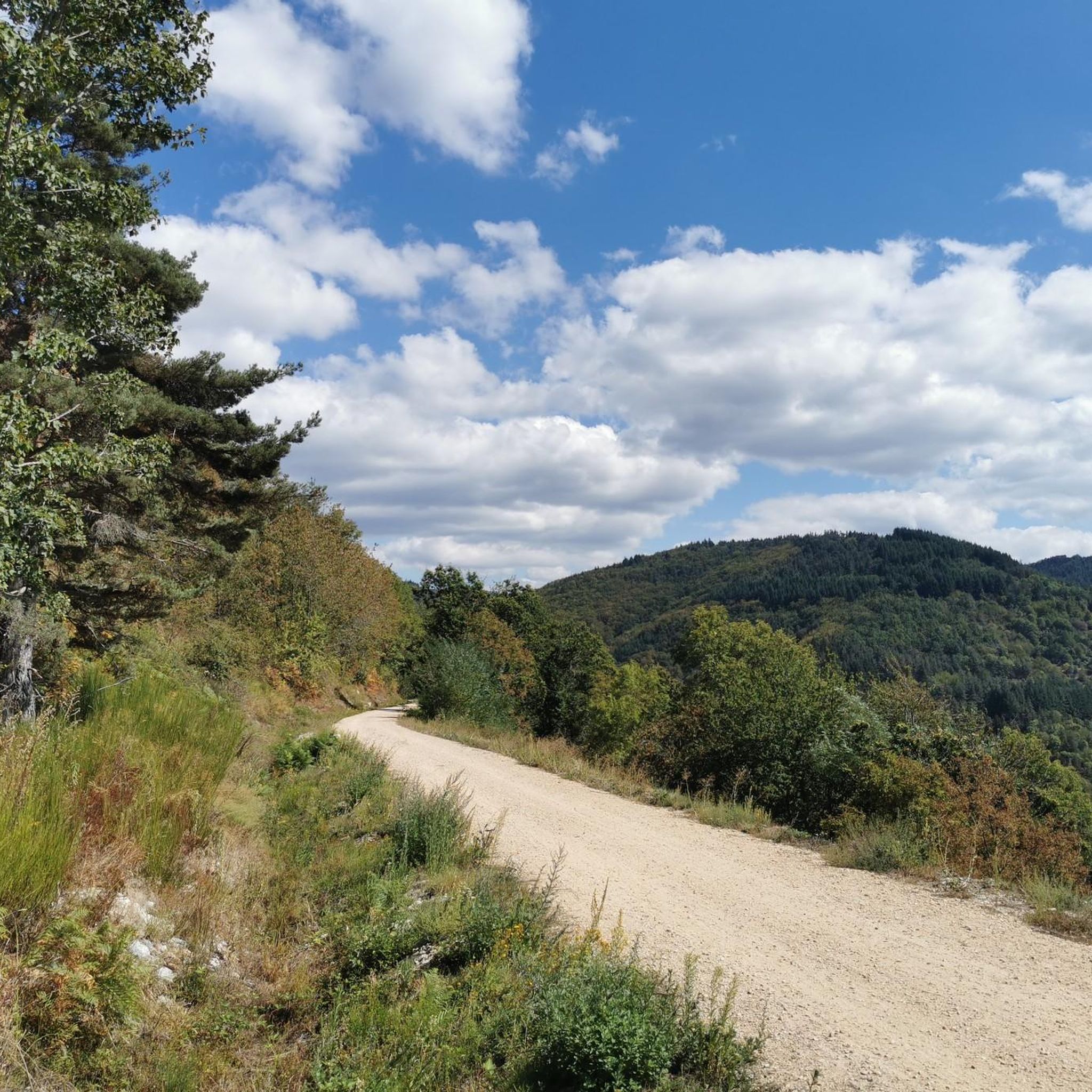
Mountain bike trails around Saint-Julien-Boutières traverse the diverse landscapes of the Parc Naturel Régional des Monts d'Ardèche. The region features varied terrain, ranging in altitude from 400 to 1100 meters, with forests, rivers, and volcanic formations. Mountain bikers can expect routes that wind through natural environments and offer a mix of challenges.
Best mountain bike trails around Saint-Julien-Boutières
- The most popular mountain bike trail is Saint-Agrève Village – Lake Devesset loop from Saint-Agrève, a 19.1 miles (30.8 km) trail…
Last updated: July 13, 2026
3.0
(1)
27
riders
30.8km
02:49
540m
540m
Moderate mountain bike ride. Good fitness required. Advanced riding skills necessary.
20
riders
50.6km
05:12
1,500m
1,500m
Hard mountain bike ride. Very good fitness required. Advanced riding skills necessary. Some portions of the route may require you to push your bike.

Sign up for free
5.0
(2)
12
riders
36.1km
03:00
710m
710m
Moderate mountain bike ride. Good fitness required. Suitable for all skill levels.
12
riders
80.5km
07:39
1,900m
1,900m
Hard mountain bike ride. Very good fitness required. Advanced riding skills necessary.
4.8
(4)
19
riders
22.1km
02:07
460m
460m
Moderate mountain bike ride. Good fitness required. Suitable for all skill levels.
Get access to more routes and recommendations from other explorers.
Sign up for free
Already have an account?
Our route recommendations are based on thousands of hikes, rides, and runs completed by other people on komoot.
Start today with a free account
Your next adventure awaits.
Login or Signup
Tips from the Community

Excellent cuisine! Very friendly service
0
0

The Tchier de Borée is a contemporary artwork situated in the heart of the volcanic landscapes of the Boutières region. Created in 2008 by Fabienne Versé and Serge Boyer, this megalithic installation comprises 70 standing stones arranged in a circle 80 meters in diameter. Each stone bears a symbol or message: runes, astrological signs, natural elements (air, water, fire, earth), winds, mythology… The word “Tchier” (from the local dialect) means “pile of stones”: a tribute to stone, time, and the memory of the land. https://www.montagnedardeche.com/patrimoine-culturel/tchier-de-boree-2634/
0
0

a tooth that looks more like a shark's fin than a diabolical incisor, but what a strange rock surrounded by beautiful countryside
0
0

Having a coffee on the sofa facing the Mézenc...
0
0

In 10 days we will be back on this beautiful route :-)
0
0


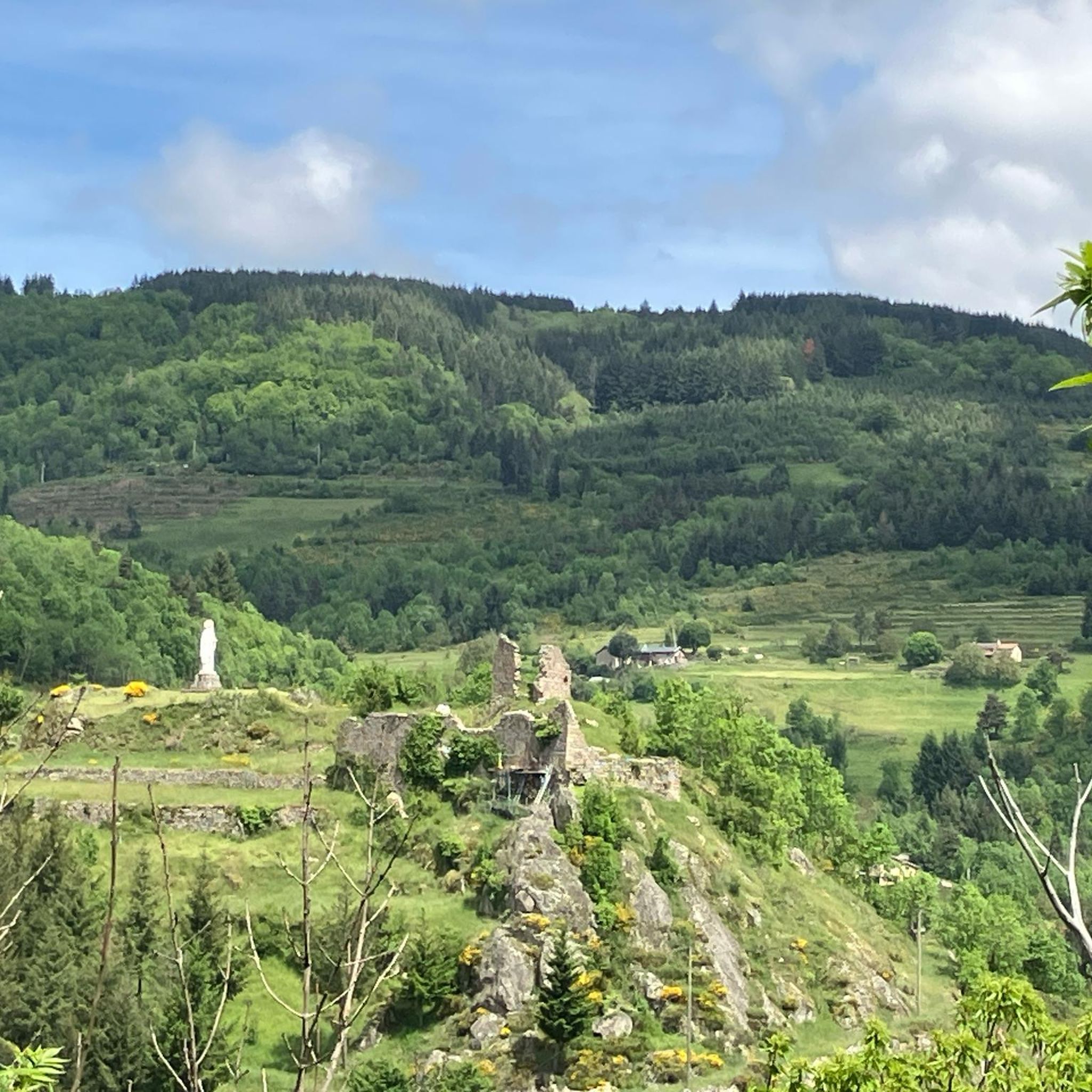
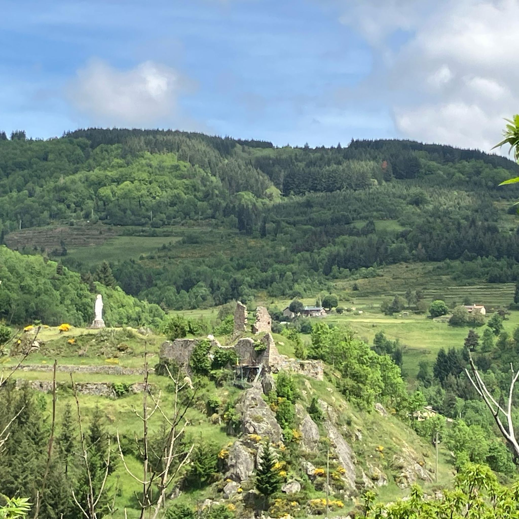
One of the most beautiful viewpoints in the region with the village of Borée, at the foot of the Sucs and Mont Mézenc
0
0
A pass at an altitude of over 1500 m. It is the highest in Ardèche.
0
0
Frequently Asked Questions
How many mountain bike trails are available around Saint-Julien-Boutières?
There are over 45 mountain bike trails around Saint-Julien-Boutières, offering a diverse range of experiences. These include 4 easy routes, 27 moderate routes, and 16 difficult routes, catering to various skill levels.
What kind of terrain can I expect on mountain bike trails in Saint-Julien-Boutières?
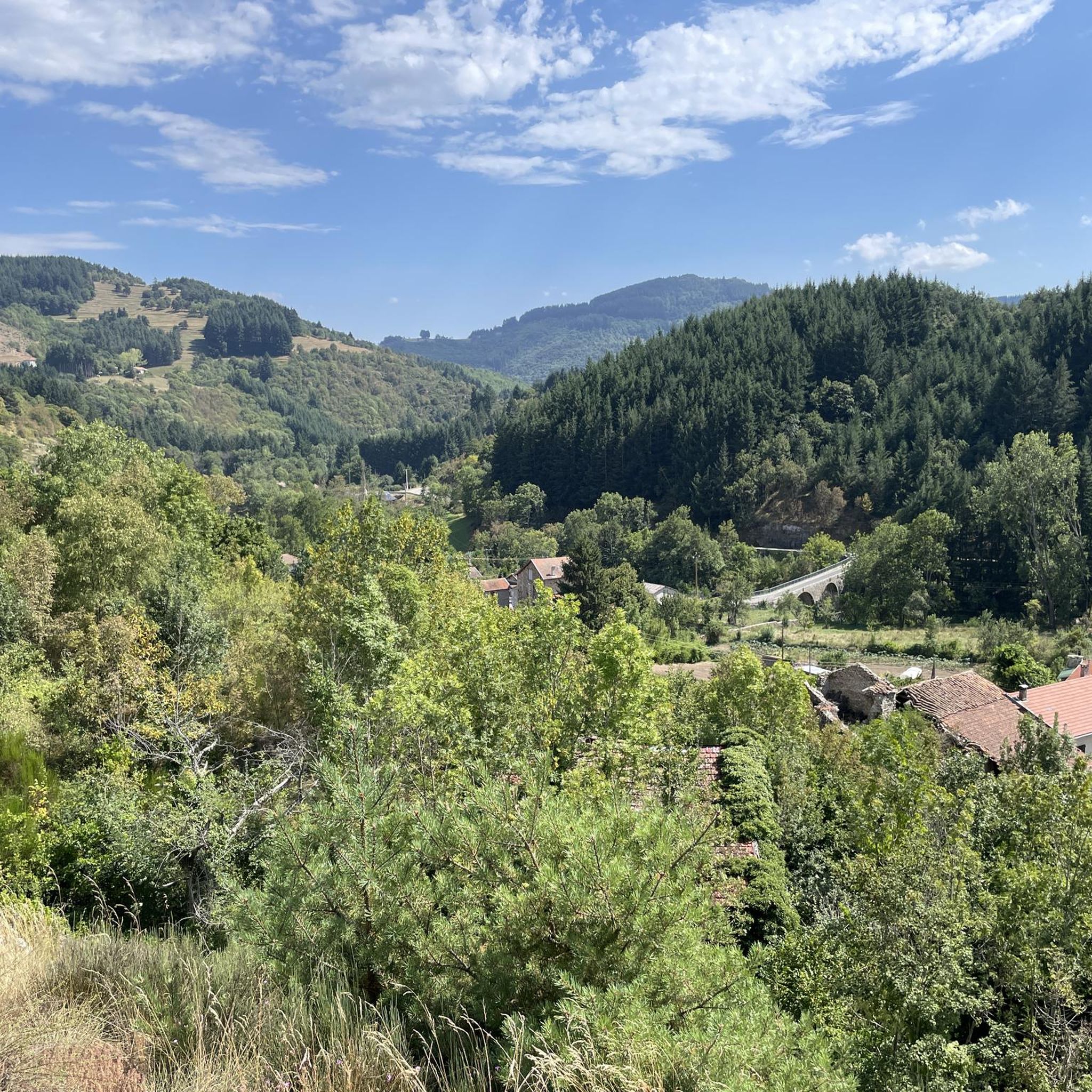
Mountain biking in Saint-Julien-Boutières features diverse terrain, from quaint villages and cobbled streets to dense forests, river valleys, and volcanic ridges. The region is nestled within the Parc Naturel Régional des Monts d'Ardèche, offering varied landscapes with altitudes ranging from 400 to 1100 meters.
Are there any family-friendly mountain bike trails in the area?
Yes, Saint-Julien-Boutières offers several family-friendly options, particularly on the Dolce Via. This former railway line provides over 10 km of paths suitable for cycling, though some sections can be unpaved. For a specific moderate route, consider the Chapignac Viaduct – Asseyne Tunnel loop from Saint-Julien-d'Intres, which is 22.3 km long.
What are some notable landmarks or points of interest I can see along the mountain bike trails?
Many trails pass by significant landmarks. You can encounter the unique Tchier de Borée, an artistic site with carved stones, or the impressive Viaduc de Chabranç on the Dolce Via. The Nonières Tunnel, also on the Dolce Via, is an illuminated 320-meter tunnel offering a unique experience.
Are there any long-distance mountain bike routes that pass through Saint-Julien-Boutières?
Yes, the region is part of the extensive Grande Traversée de l'Ardèche (GTA VTT). This 315 km route connects Annonay in the north to Bourg-Saint-Andéol in the south, specifically designed for mountain bikes and e-mountain bikes, and can be tackled in stages.
What do other mountain bikers say about the trails in Saint-Julien-Boutières?
The mountain bike trails around Saint-Julien-Boutières are highly rated by the komoot community, with an average score of 4.5 stars from over 100 reviews. More than 1000 mountain bikers have used komoot to explore the varied terrain, often praising the diverse landscapes and well-maintained paths.
Can I find circular mountain bike routes in Saint-Julien-Boutières?
Yes, many routes in the area are circular. For example, the popular Saint-Agrève Village – Lake Devesset loop from Saint-Agrève is a moderate 30.8 km trail. Another option is the challenging Ardèche Dolmen – L'Erre du Tchier de Borée loop from Lachapelle-sous-Chanéac, which covers 41.0 km.
What is the best time of year for mountain biking in Saint-Julien-Boutières?
The region is generally pleasant for mountain biking from spring through autumn. The diverse altitudes mean that while lower valleys might be warm in summer, higher sections offer cooler temperatures. Spring and early autumn provide comfortable weather and beautiful scenery.
Are there any challenging mountain bike trails for experienced riders?
Absolutely. For experienced riders seeking a challenge, there are 16 difficult routes. The Viaduc de Chabranç – Boutières Cross Pass loop from Chanéac is a demanding 80.5 km trail with significant elevation gain, often completed in about 7 hours 38 minutes.
Are dogs allowed on the mountain bike trails in Saint-Julien-Boutières?
While specific regulations for dogs on mountain bike trails can vary, the Parc Naturel Régional des Monts d'Ardèche generally welcomes dogs on trails, provided they are kept under control, especially in natural areas to protect wildlife and livestock. It's always advisable to check local signage for any specific restrictions on individual routes.
Where can I find parking for mountain bike trails in Saint-Julien-Boutières?
Parking is typically available near trailheads in villages and towns throughout the region. For routes starting from specific locations like Saint-Agrève or Chanéac, you can usually find designated parking areas. It's recommended to check the starting point of your chosen komoot tour for specific parking information.
Are there any natural water features like lakes or rivers accessible by mountain bike?
Yes, the region is bordered by three rivers and features numerous lakes. The Eyrieux river is a prominent natural feature, with the Dolce Via running alongside it. You can also find Lac des Collanges, which can be incorporated into some routes, offering scenic views and opportunities for a break.
Most popular routes around Saint-Julien-Boutières
Most popular attractions around Saint-Julien-Boutières

Get inspired with the komoot mobile app


Explore more
Browse the best MTB trails in other regions.
