The best running trails around Vandières
3.9
(7)
636
runners
99
runs
Jogging around Vandières offers a diverse natural setting at the intersection of the Moselle and Trey valleys, near the Rupt de Mad valley. The region is characterized by varied terrains, including marked paths through forests and vineyards, alongside the Moselle river and a canal. Ponds, remnants of former sand quarrying, also dot the landscape, providing additional natural features for running routes. This area provides a compelling environment for outdoor enthusiasts seeking different running experiences.
Best jogging routes around Vandières
- The…
Last updated: June 25, 2026
21
runners
Hard run. Very good fitness required. Mostly paved surfaces. Suitable for all skill levels.
4.0
(1)
6
runners
6.02km
00:42
70m
70m
Moderate run. Good fitness required. Mostly paved surfaces. Suitable for all skill levels.

Sign up for free
17
runners
18.7km
01:56
40m
40m
Hard run. Very good fitness required. Mostly paved surfaces. Suitable for all skill levels.
5
runners
10.3km
01:16
190m
190m
Moderate run. Good fitness required. Mostly paved surfaces. Suitable for all skill levels.
4.0
(1)
15
runners
7.72km
00:48
20m
20m
Moderate run. Good fitness required. Mostly paved surfaces. Suitable for all skill levels.
Get access to more routes and recommendations from other explorers.
Sign up for free
Already have an account?
Our route recommendations are based on thousands of hikes, rides, and runs completed by other people on komoot.
Start today with a free account
Your next adventure awaits.
Login or Signup
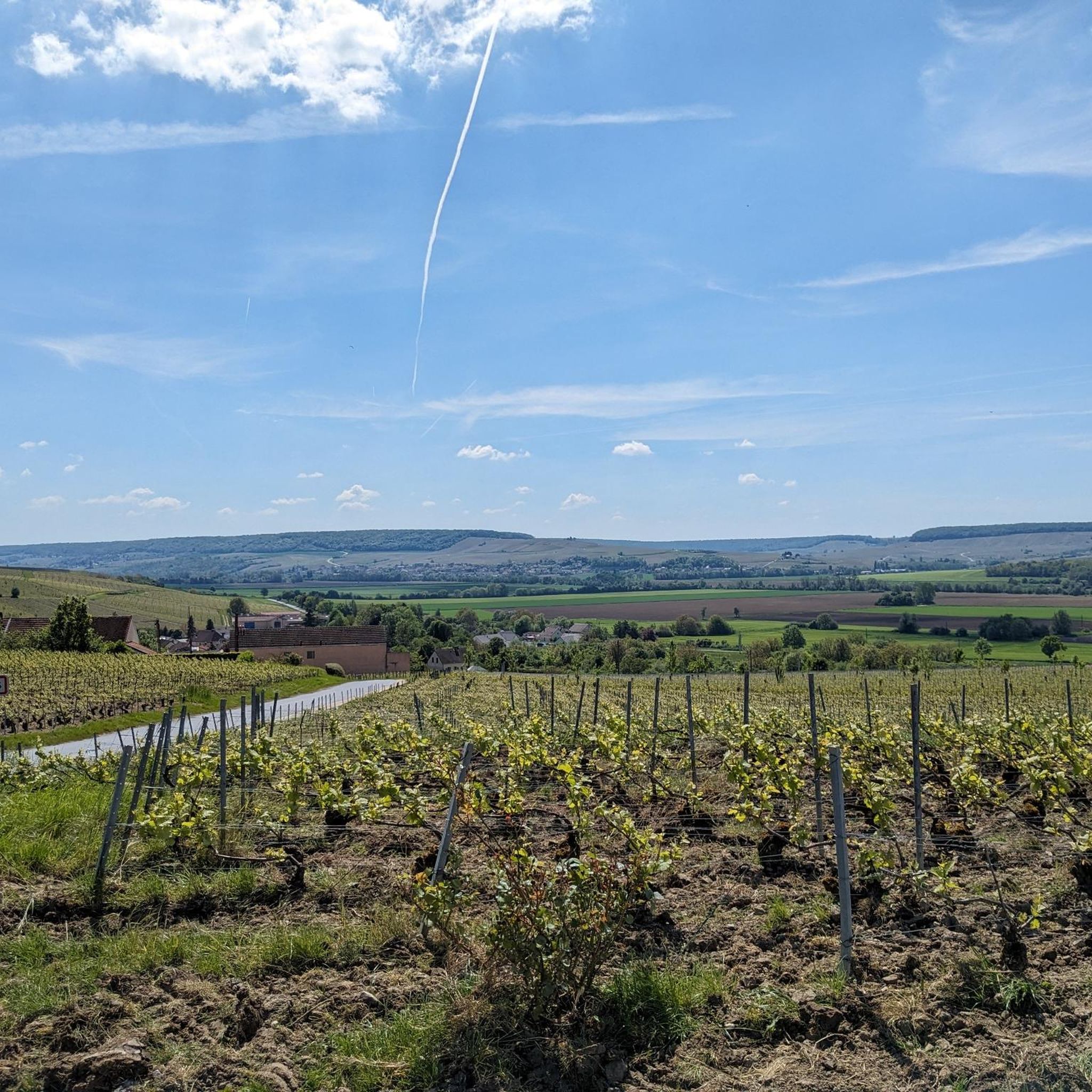
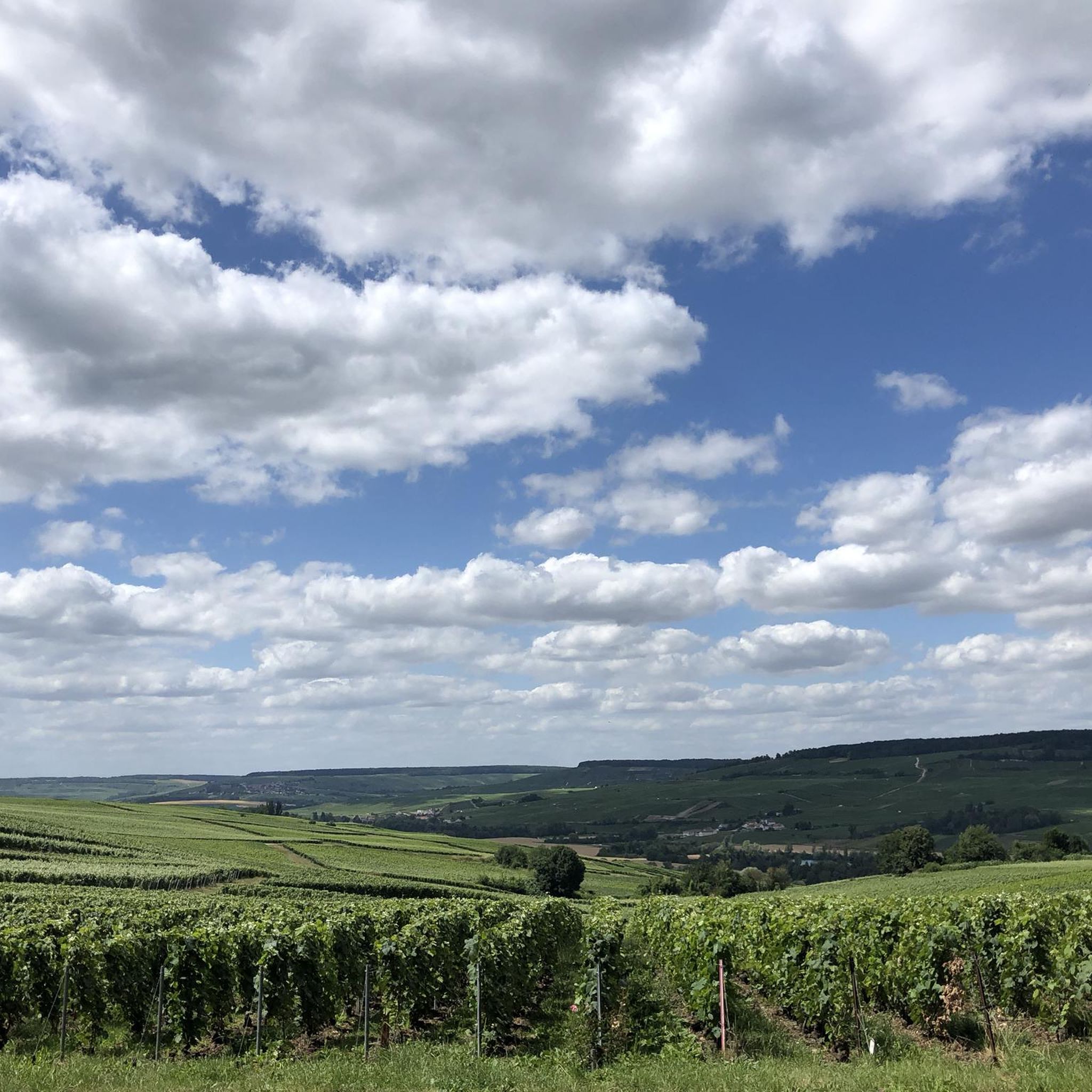
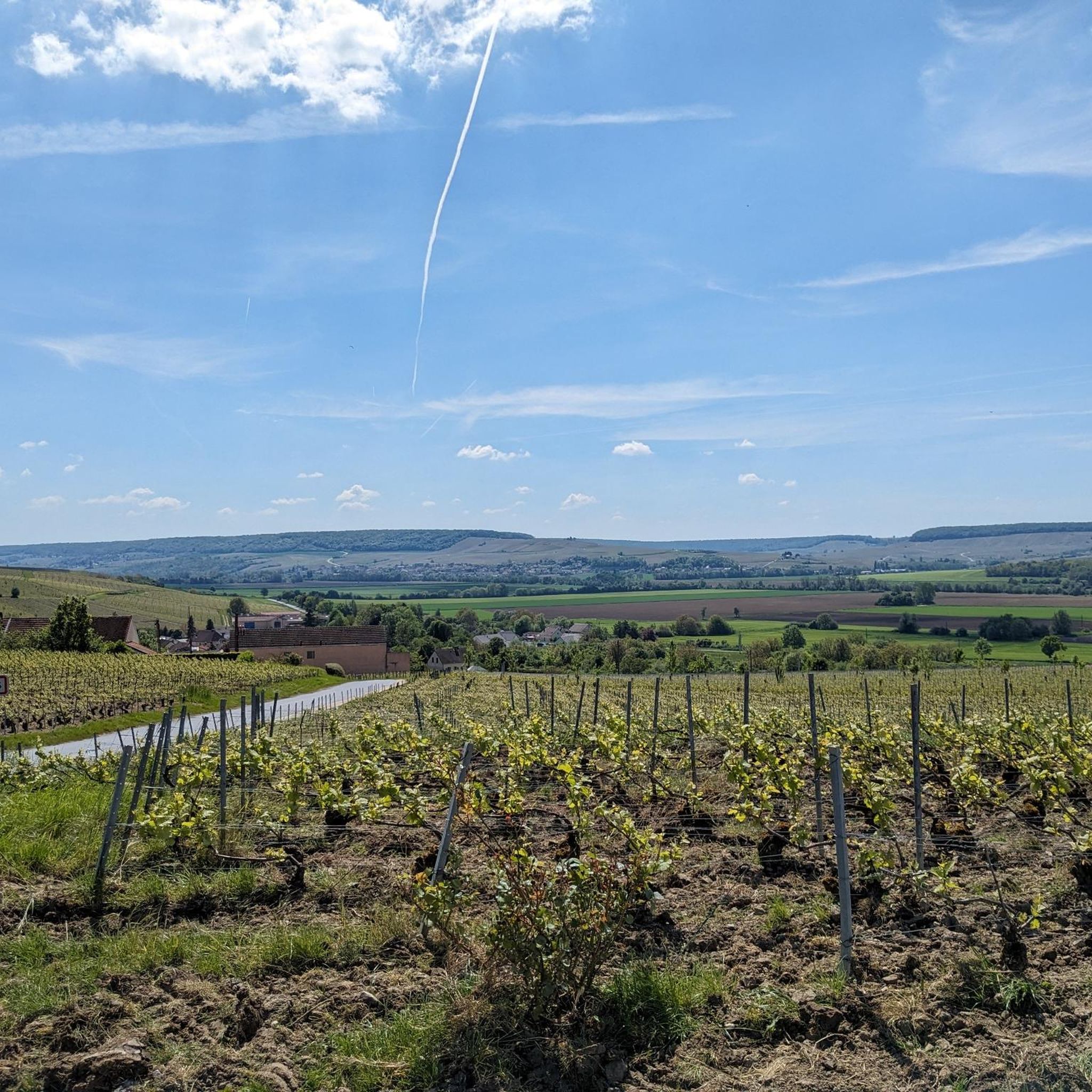
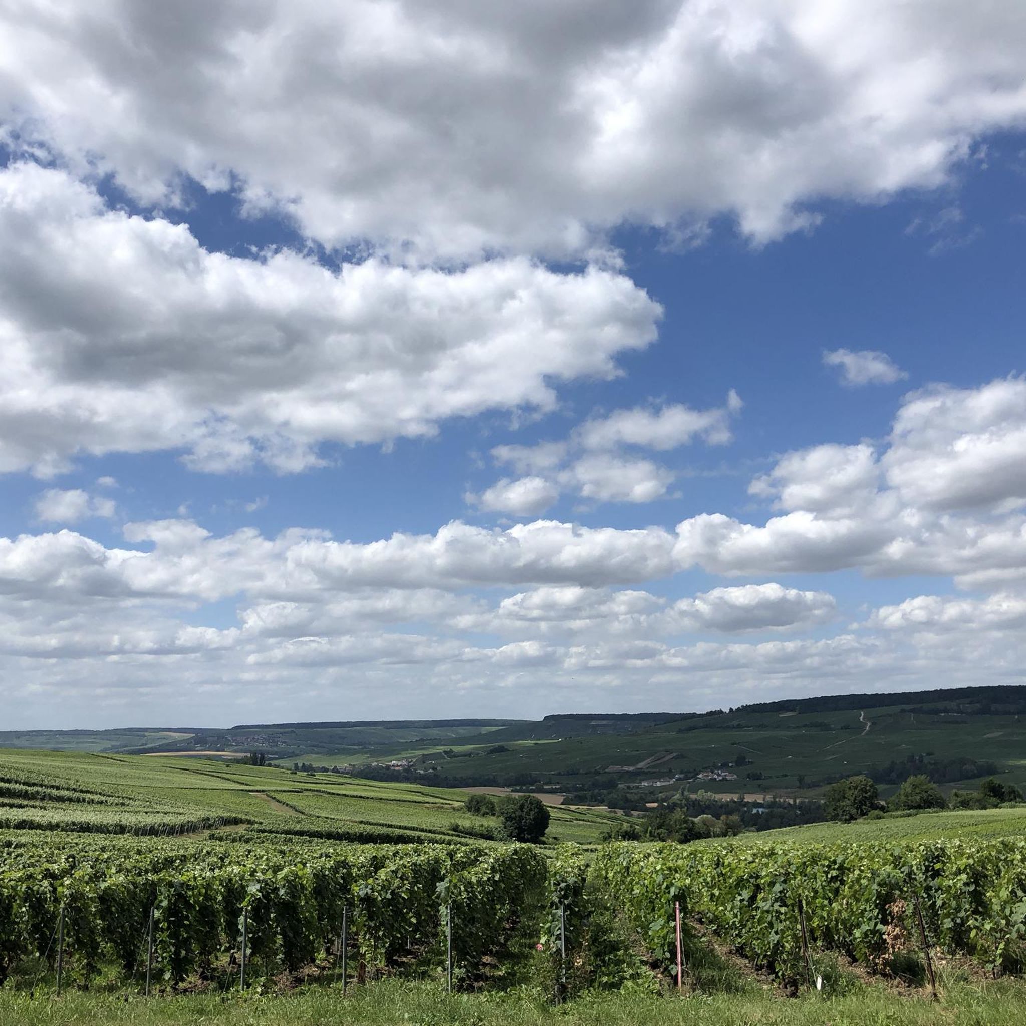

Tips from the Community

Good for eating ice cream at the campsite cabin
2
0
Also good for children, playground etc.
0
0

Beautiful rest area with many options and places to sit in shade or in the sun.
0
0

The Marne is the largest river in France. It has a length of 514 km. It is the main tributary of the Seine. Its name is integrated into that of four French departments. At this place the river is quite shallow and there is algae in the water
0
0


Nice rest area at de Marne.
3
0

Externally a beautiful little church
0
0
Very nice view of the town of Dormans
7
0
Frequently Asked Questions
How many running routes are available around Vandières?
There are nearly 100 running routes around Vandières listed on komoot, offering a wide range of options for different preferences and fitness levels. These include 1 easy route, 76 moderate routes, and 19 difficult routes.
Are there any easy or beginner-friendly running trails in Vandières?
Yes, Vandières offers a variety of trails suitable for beginners. While most routes are moderate, there is at least one easy route available, and many of the moderate paths are also suitable for those new to running. The region's diverse terrain, including paths along the Moselle river and through vineyards, provides gentle options.
What kind of terrain can I expect on the jogging routes in Vandières?
The running routes in Vandières feature a diverse natural setting, characterized by varied terrains. You can expect marked paths through forests and vineyards, alongside the Moselle river and a canal, and past ponds that are remnants of former sand quarrying. Some routes may also include gentle elevation changes as they traverse the valleys.
What are some scenic landmarks or natural features I can see while running in Vandières?
Vandières and its surroundings offer several interesting sights. You can enjoy views of the Moselle river and canal, as well as tranquil ponds. For panoramic views, consider routes near the Statue of Pope Urban II and viewpoint. Other notable points of interest include the Prieuré de Binson military cemetery and the historic town of Châtillon-sur-Marne.
Are there any circular running routes around Vandières?
Yes, many of the running routes in Vandières are designed as loops, allowing you to start and finish at the same point. For example, the Rest area Reuil – Saint Martin Church of Reuil loop from Vandières is a popular difficult option, and the moderate Pressoir de Bouquigny – Wine press loop from Troissy also offers a circular path through vineyards.
Can I find running routes that are suitable for families in Vandières?
While specific 'family-friendly' designations aren't always available, many of the moderate and easy routes in Vandières can be suitable for families, depending on the children's age and fitness levels. Look for shorter, flatter loops, especially those along the river or through less challenging forest paths. The region's marked trails offer a safe environment for outdoor activities.
What do other runners say about the trails in Vandières?
The running routes in Vandières are highly rated by the komoot community, with an average score of 4.0 stars from over 7 reviews. More than 600 runners have used komoot to explore Vandières's varied terrain, often praising the diverse landscapes, including river valleys, forests, and vineyards, which provide a comprehensive experience of the local environment.
Are there any running routes that pass through vineyards in Vandières?
Absolutely! The Vandières region is known for its vineyards, and several running routes incorporate these scenic landscapes. A great example is the moderate Pressoir de Bouquigny – Wine press loop from Troissy, which leads directly through areas featuring vineyards, offering a picturesque running experience.
What is the best season for running in Vandières?
Vandières offers enjoyable running conditions across multiple seasons. Spring and autumn provide pleasant temperatures and beautiful scenery with blooming flora or vibrant fall foliage. Summer is also great, especially for early morning or late afternoon runs to avoid the midday heat. Even winter can be suitable for running, with the landscape taking on a different, serene beauty.
Are there any long-distance running options or more challenging trails?
Yes, for those seeking longer distances or more challenging runs, Vandières has several options. The region includes 19 difficult routes, such as the View of Dormans loop from Vandières, which is 11.8 miles (19.0 km) long. The communal territory is also crisscrossed by many marked trails, including access to the GR5, offering extensive possibilities for longer runs.
Are there any running routes near the Moselle river?
Many running routes in Vandières take advantage of its location at the intersection of the Moselle valley. You can find trails that run alongside the Moselle river and a canal, offering flat and scenic paths. The View of Dormans loop from Vandières, for instance, leads through varied terrain near the Moselle river.
Where can I find parking for the running trails in Vandières?
While specific parking locations for each trail are not always detailed, most trailheads in Vandières and surrounding villages will have designated parking areas or street parking available. For routes starting from specific towns like Vandières or Troissy, you can typically find parking within the village centers or near local amenities.
Most popular attractions around Vandières

Get inspired with the komoot mobile app


Explore more
Browse the best Running Trails & Routes in other regions.
