The best running trails around Unterwellenborn
4.7
(40)
322
runners
46
runs
Jogging routes around Unterwellenborn offer diverse landscapes for outdoor activity. The region is characterized by rolling hills, green meadows, and dense forests, providing varied terrain for runners. The Saale valley and the Thuringian Sea (Hohenwarte Reservoir) also feature picturesque routes with views of the water and surrounding nature. These natural features create a compelling setting for running, from gentle paths to more challenging ascents.
Best jogging routes around Unterwellenborn
- The most popular jogging route is Village Square Oberwellenborn – Dorfteich…
Last updated: October 12, 2026
19
runners
Moderate run. Good fitness required. Mostly paved surfaces. Suitable for all skill levels.
4.6
(5)
19
runners
Moderate run. Good fitness required. Mostly paved surfaces. Suitable for all skill levels.

4.7
(6)
21
runners
13.9km
01:34
270m
270m
Moderate run. Good fitness required. Mostly paved surfaces. Suitable for all skill levels.
4.6
(5)
16
runners
Moderate run. Good fitness required. Mostly paved surfaces. Suitable for all skill levels.
4.3
(10)
16
runners
4.88km
00:30
30m
30m
Easy run. Great for any fitness level. Mostly paved surfaces. Suitable for all skill levels.
Get access to more routes and recommendations from other explorers.
Already have an account?
Our route recommendations are based on thousands of hikes, rides, and runs completed by other people on komoot.
Start today with a free account
Your next adventure awaits.
Popular around Unterwellenborn
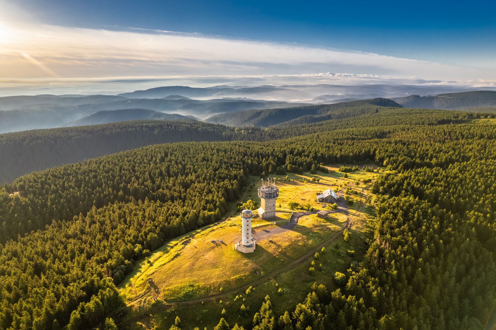
Forest, vastness and water – day trips in the Thuringian Forest
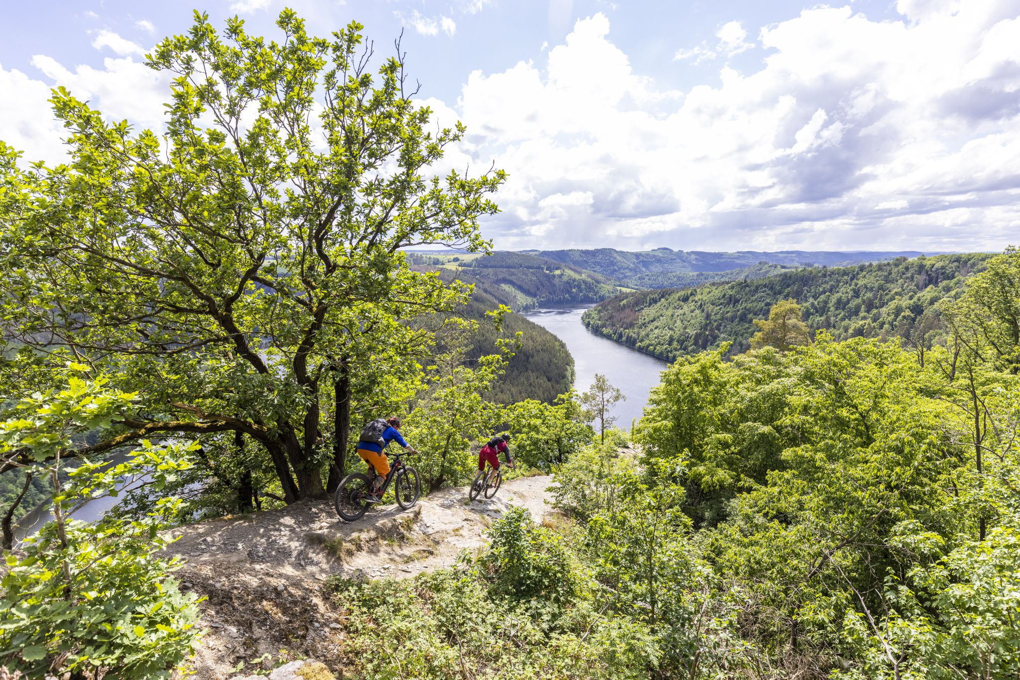
In the land of blue gold – Trail guide Thuringian Slate Mountains
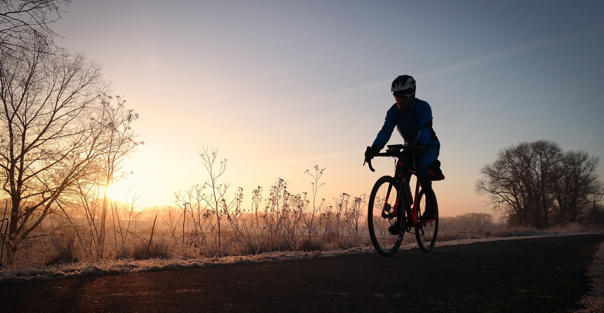
Wintery river rides – from the Ruhr to the Elbe
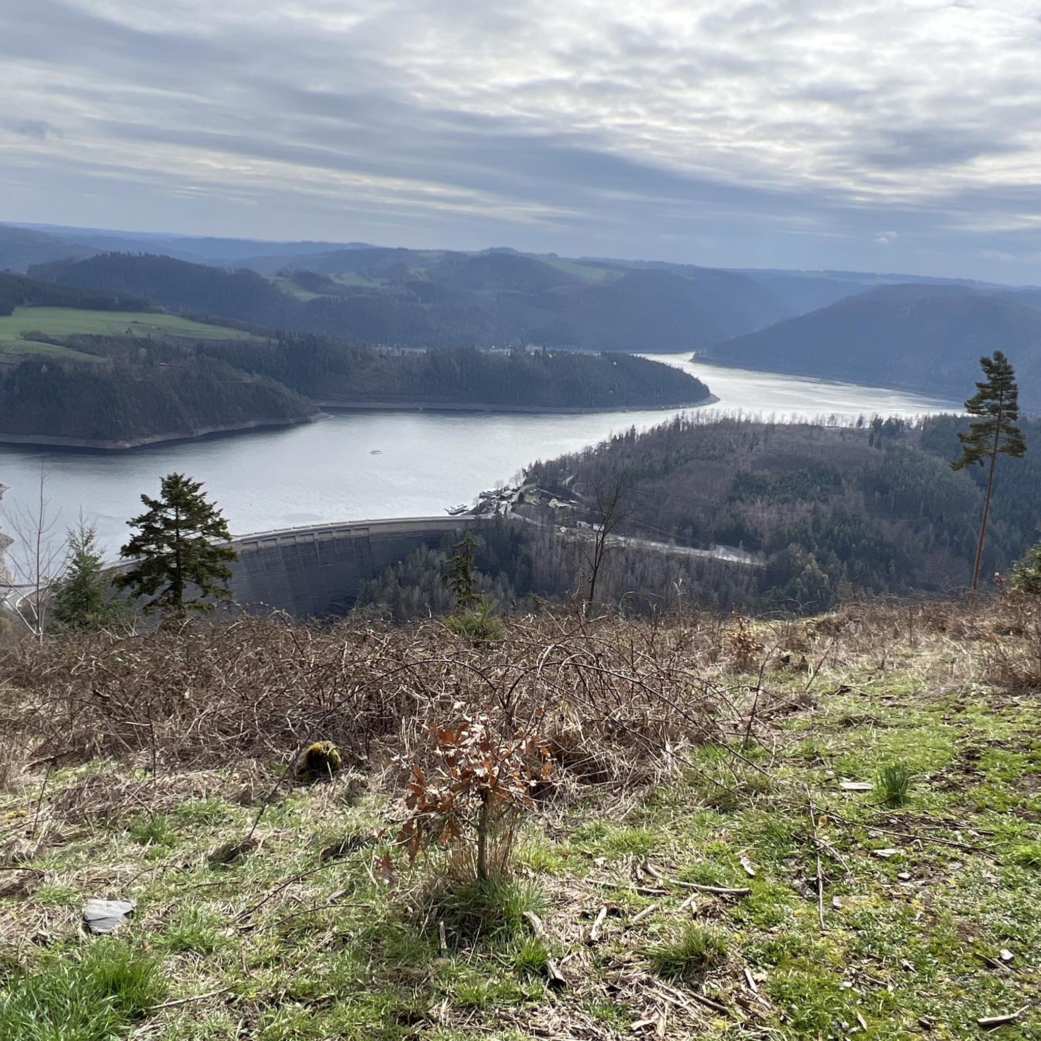
Hiking around Unterwellenborn
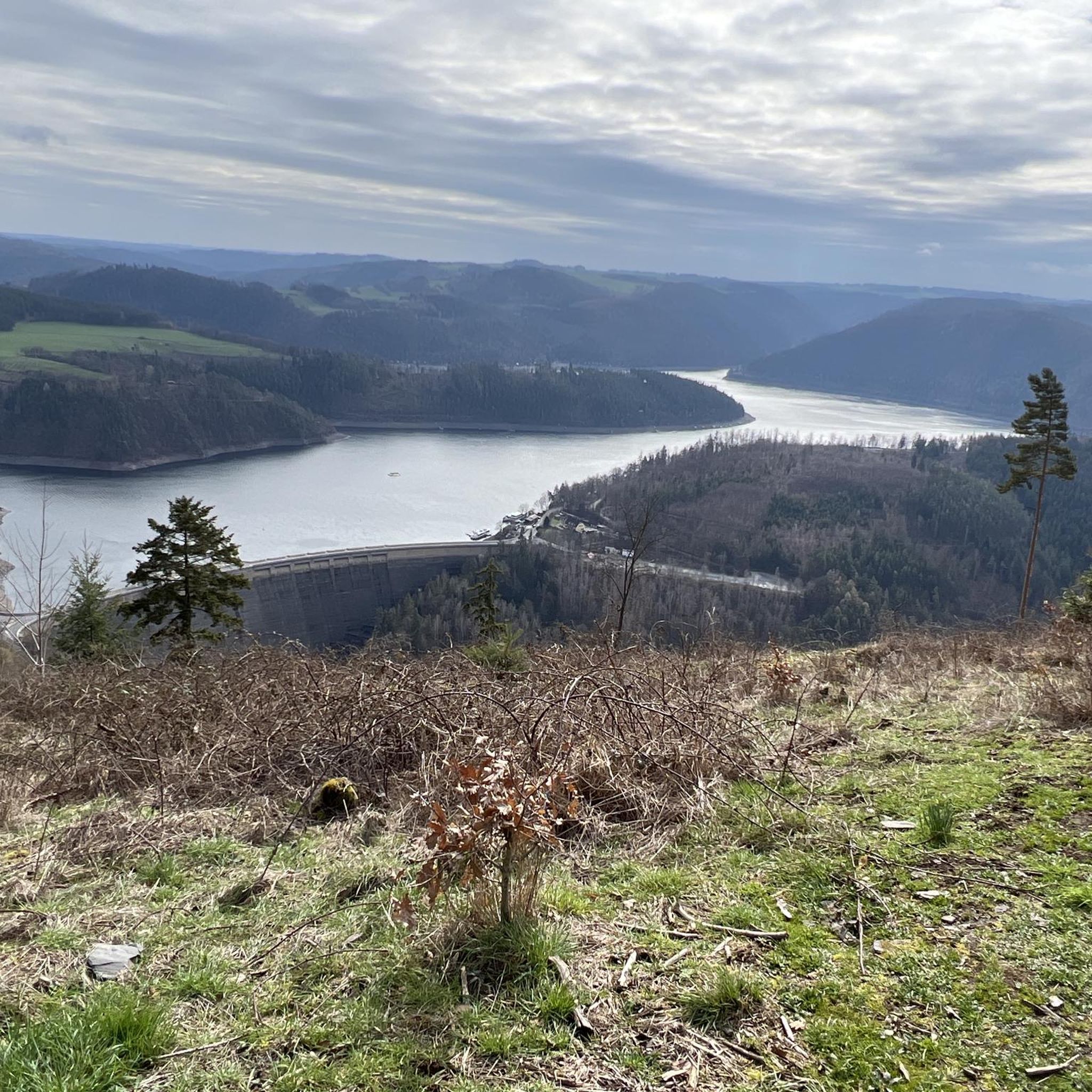
Cycling around Unterwellenborn
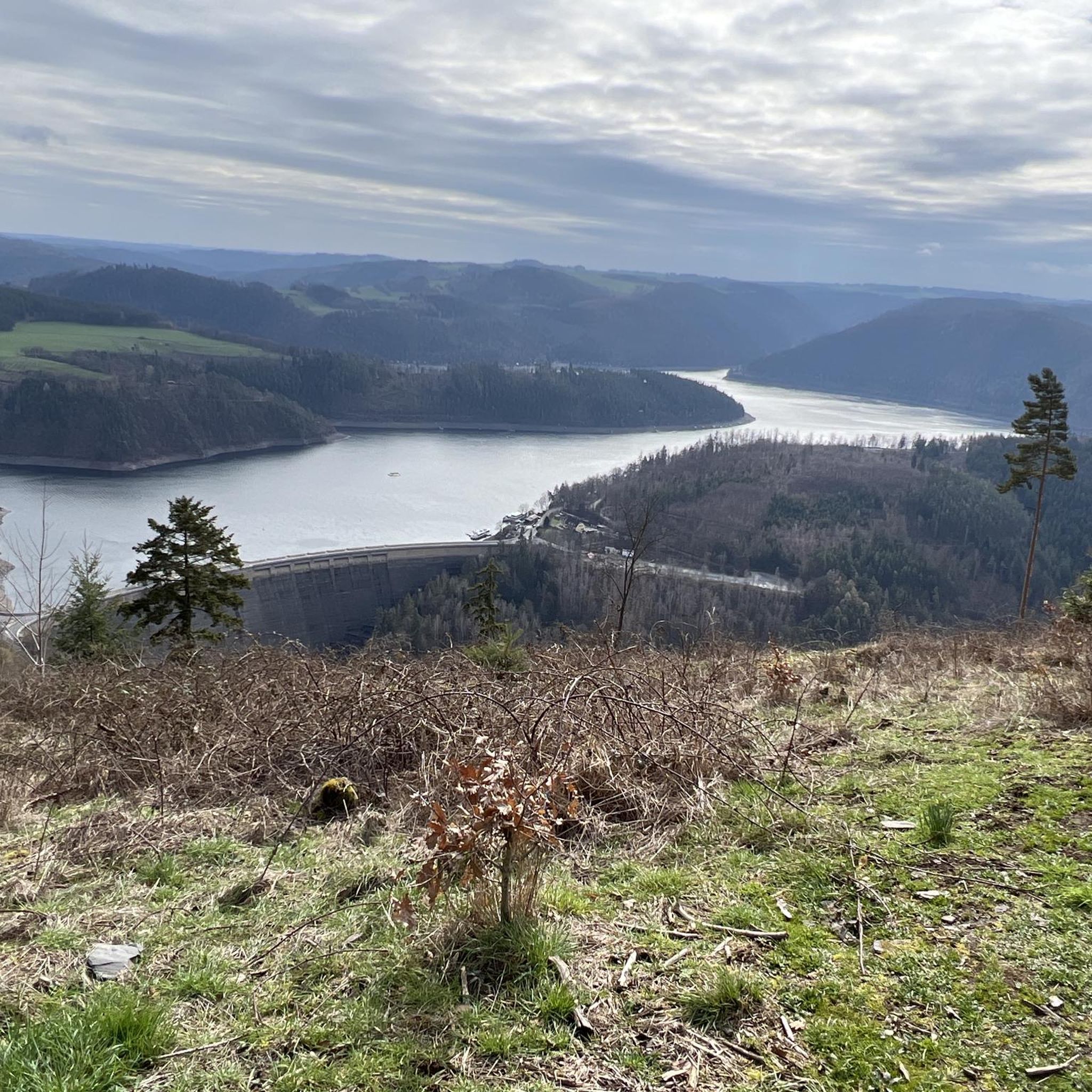
MTB Trails around Unterwellenborn
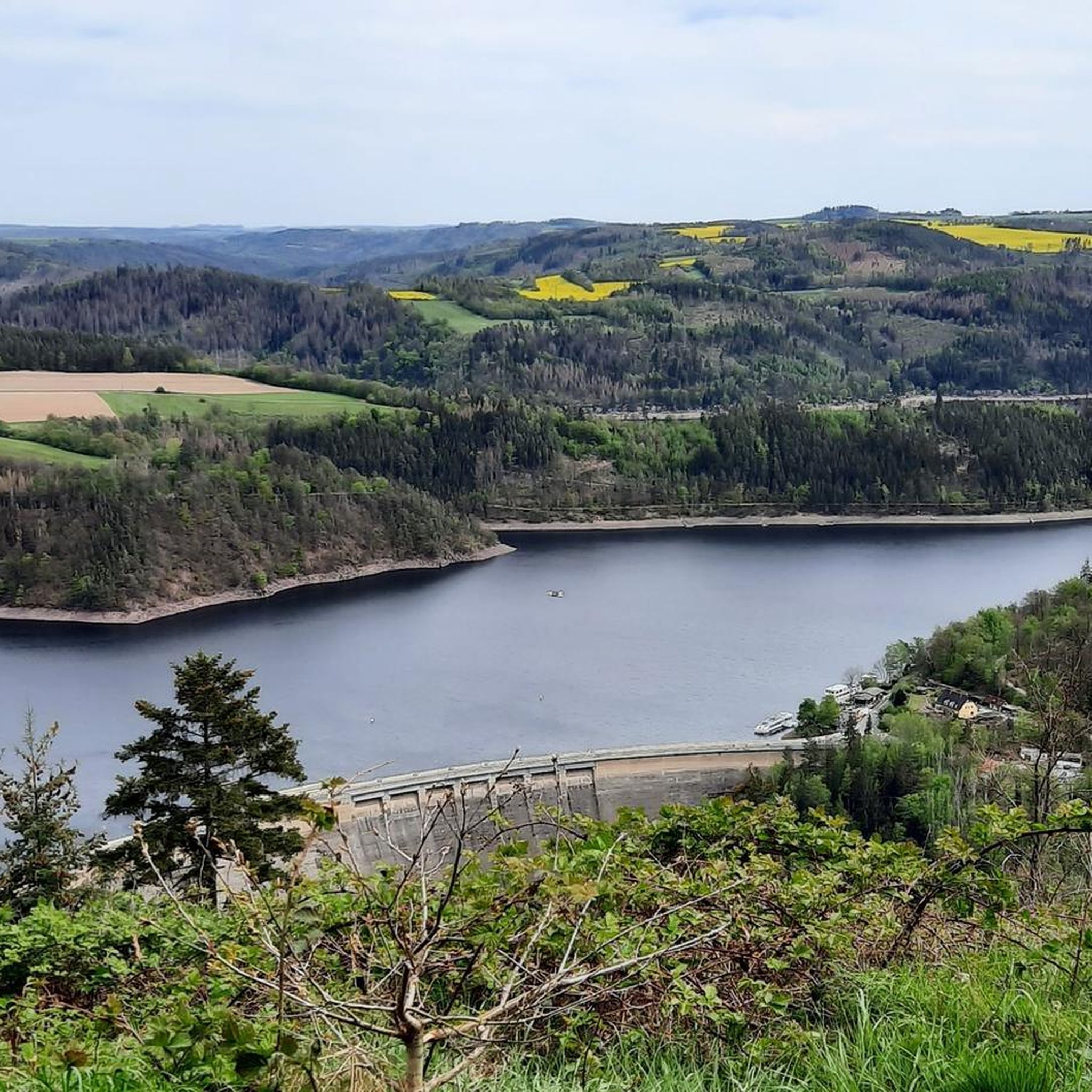
Road Cycling Routes around Unterwellenborn
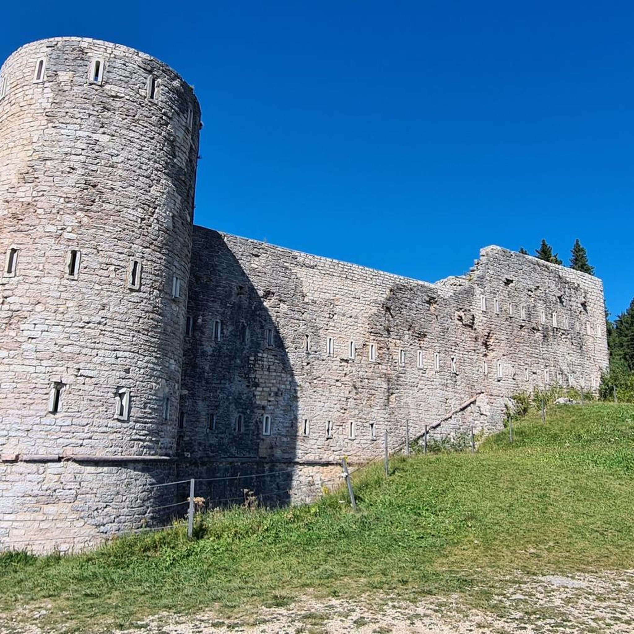
Gravel biking around Unterwellenborn
Other adventures around Unterwellenborn


Tips from the Community

A very nice spot with a bench for a short break.
1
0

Nestled on a small hill in the Birkigt district (Unterwellenborn, SLF-RU), the charming Evangelical Lutheran village church stands amidst rural tranquility. It is located on Heideweg and is a harmonious stopover on rural tours.
2
0
The listed Evangelical Lutheran Laurentius Church is located in Lausnitz, a district of Unterwellenborn in the Saalfeld-Rudolstadt district of Thuringia. The rectangular hall church was consecrated on November 6, 1725 and last renovated in 1989.
1
0

The region's local recreational destination and Germany's fourth largest reservoir was built in the 1930s and dams the waters of the Saale. The beach offers many options, including water skiing, various boat tours and, of course, perfect swimming opportunities.
11
0

It is really worth a trip there whether hiking or biking very beautiful
0
0

This is what it looks like when cultural assets are given into private hands.
2
0

Former cultural palace of the Maxhütte Unterwellenborn.
1
0

The "Preswitzer Spitze" protrudes wonderfully into the reservoir like a small peninsula and so you have a great view on both sides.
8
0
Frequently Asked Questions
How many running trails are available around Unterwellenborn?
There are over 50 running routes available around Unterwellenborn, offering a wide variety of options for different preferences and fitness levels. The komoot community has explored more than 50 trails in the area.
What kind of terrain can I expect on the running routes near Unterwellenborn?
The region around Unterwellenborn is characterized by diverse terrain, including rolling hills, green meadows, and dense forests. You'll find paths winding through wooded areas, open fields, and along the picturesque Saale valley and the Thuringian Sea (Hohenwarte Reservoir), providing varied scenery and surfaces for your run.
Are there easy running routes suitable for beginners in Unterwellenborn?
Yes, Unterwellenborn offers several easy running routes perfect for beginners or those looking for a relaxed jog. For example, the Village Square Oberwellenborn loop from Unterwellenborn is an easy 3-mile (4.8 km) trail with minimal elevation gain, ideal for a gentle run.
Can I find running routes with scenic viewpoints in Unterwellenborn?
Absolutely! Many running routes in the area offer rewarding scenic viewpoints. The Koßdorfbach Bridge – Mooshäuschen Viewpoint loop from Goßwitz/Bucha, for instance, includes the Mooshäuschen Viewpoint. Additionally, the region boasts the Kulmberghaus Lookout Tower, offering a famous 'twelve castles view' of the Thuringian landscape, which can be incorporated into longer runs. You can also find other viewpoints like the Teufelskanzel Viewpoint (Saale Bend).
Are there any circular running routes in the Unterwellenborn area?
Yes, many of the running routes around Unterwellenborn are circular, providing convenient starting and ending points. Popular options include the Village Square Oberwellenborn – Dorfteich Unterwellenborn loop from Unterwellenborn, a 5.5-mile (8.8 km) loop, and the Hunting Lodge Oberwellenborn – Village Square Oberwellenborn loop from Birkigt, which is 6.6 miles (10.6 km).
What is the best time of year for running in Unterwellenborn?
The natural surroundings of Unterwellenborn are particularly beautiful in spring when nature awakens with colorful flowers, and in autumn when the forests display vibrant hues. These seasons offer ideal conditions for outdoor activities like running, with pleasant temperatures and stunning scenery.
Are there any waterfalls or significant water features along the running routes?
Yes, the region is known for its water landscapes. The Thuringian Sea (Hohenwarte Reservoir) offers picturesque routes with views of the water and the Saale valley. You can also find the Schwarza Waterfall (Schwarza Valley), which can be a scenic point of interest on some trails.
What do other runners enjoy most about jogging in Unterwellenborn?
The running routes in Unterwellenborn are highly rated by the komoot community, with an average score of 4.7 stars from more than 30 reviews. Runners often praise the varied terrain, from rolling hills and dense forests to scenic views of the Hohenwarte Reservoir, and the well-maintained network of trails that cater to different ability levels.
Are there any historical landmarks or attractions to see while running?
Beyond the natural beauty, you can encounter historical sites and landmarks. The Saale valley, for instance, features trails that lead along its banks, offering opportunities to see historical points. The area also includes landmarks like Greifenstein Castle and the Schillerhöhe Memorial, which can be part of your running exploration.
Are there challenging running trails with significant elevation gain in Unterwellenborn?
Yes, for runners seeking a challenge, Unterwellenborn offers routes with more significant elevation changes. While many trails feature rolling hills, some routes, particularly those around the Thuringian Sea, include short but challenging ascents that provide expansive views. There are 14 difficult routes available for those looking for a strenuous workout.
Are the running routes in Unterwellenborn suitable for families?
Many trails in Unterwellenborn are suitable for families, especially the easier and moderate routes that wind through forests and meadows. The Wutschental Trail, mentioned in regional research, is a circular route specifically noted as suitable for families. Look for routes with lower difficulty grades and shorter distances for a family-friendly experience.
Are there running routes that pass through dense forests?
Yes, dense forests are a defining characteristic of the Unterwellenborn region. Many running routes, such as the Gratitude Sign on Tree loop from Goßwitz/Bucha, wind through wooded areas, providing shaded paths and a refreshing environment for runners. The Hintere Heide region also offers great views on natural and quiet paths through forests.
Most popular routes around Unterwellenborn
Most popular attractions around Unterwellenborn

Get inspired with the komoot mobile app


Explore more
Browse the best Running Trails & Routes in other regions.
