The best running trails around Remptendorf
4.4
(181)
1,220
runners
141
runs
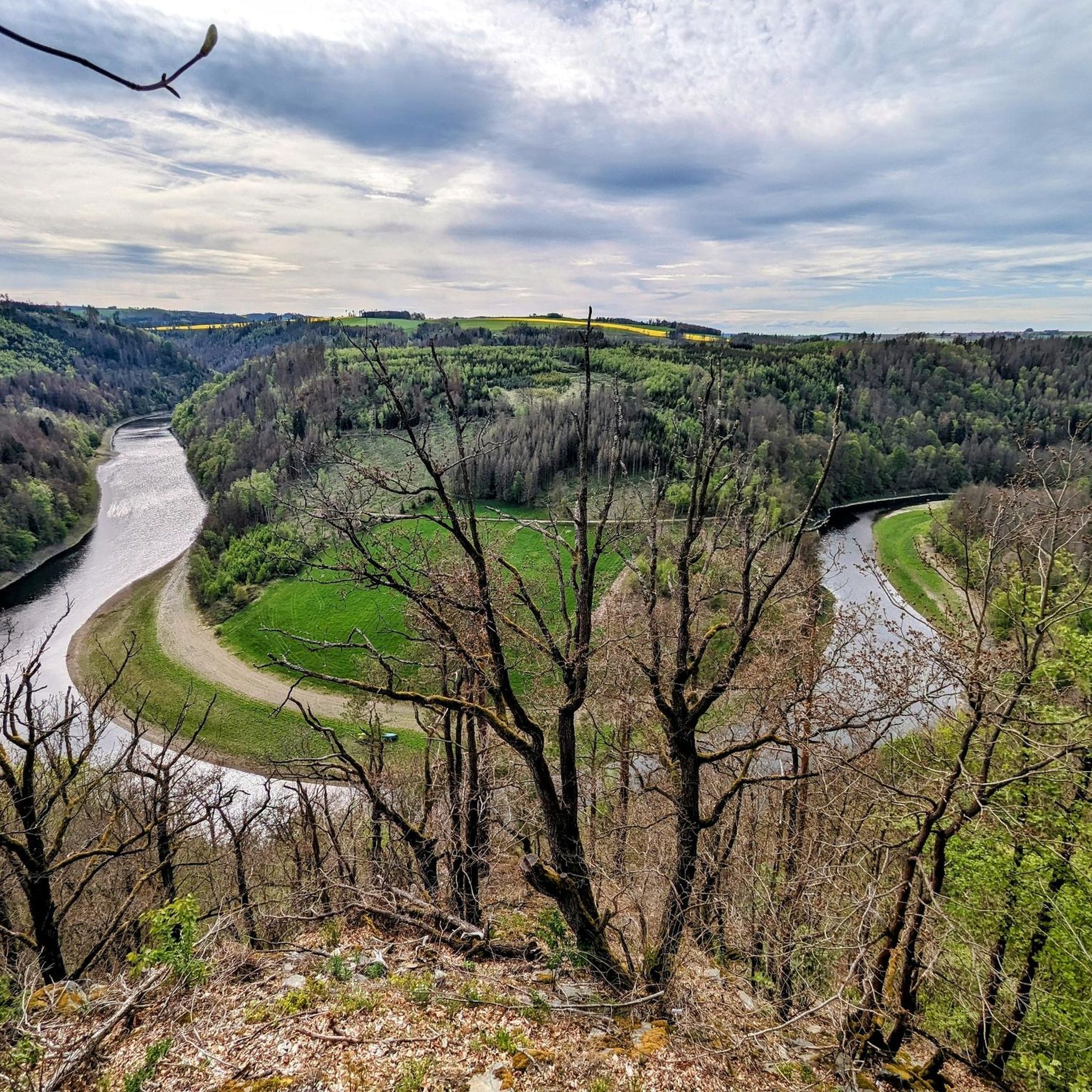
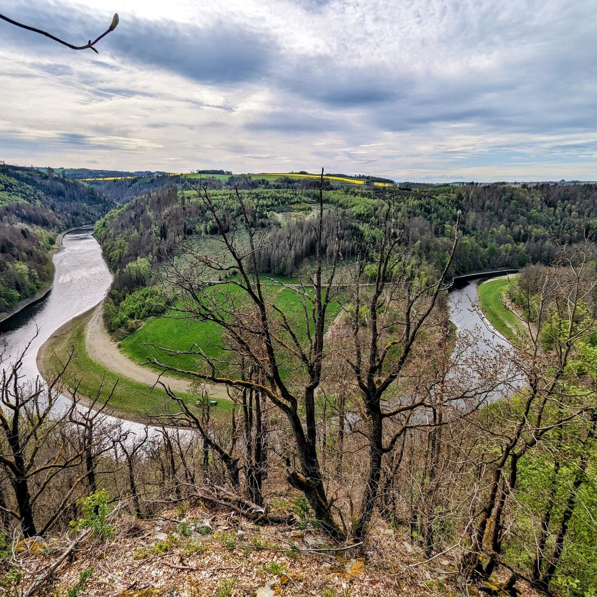
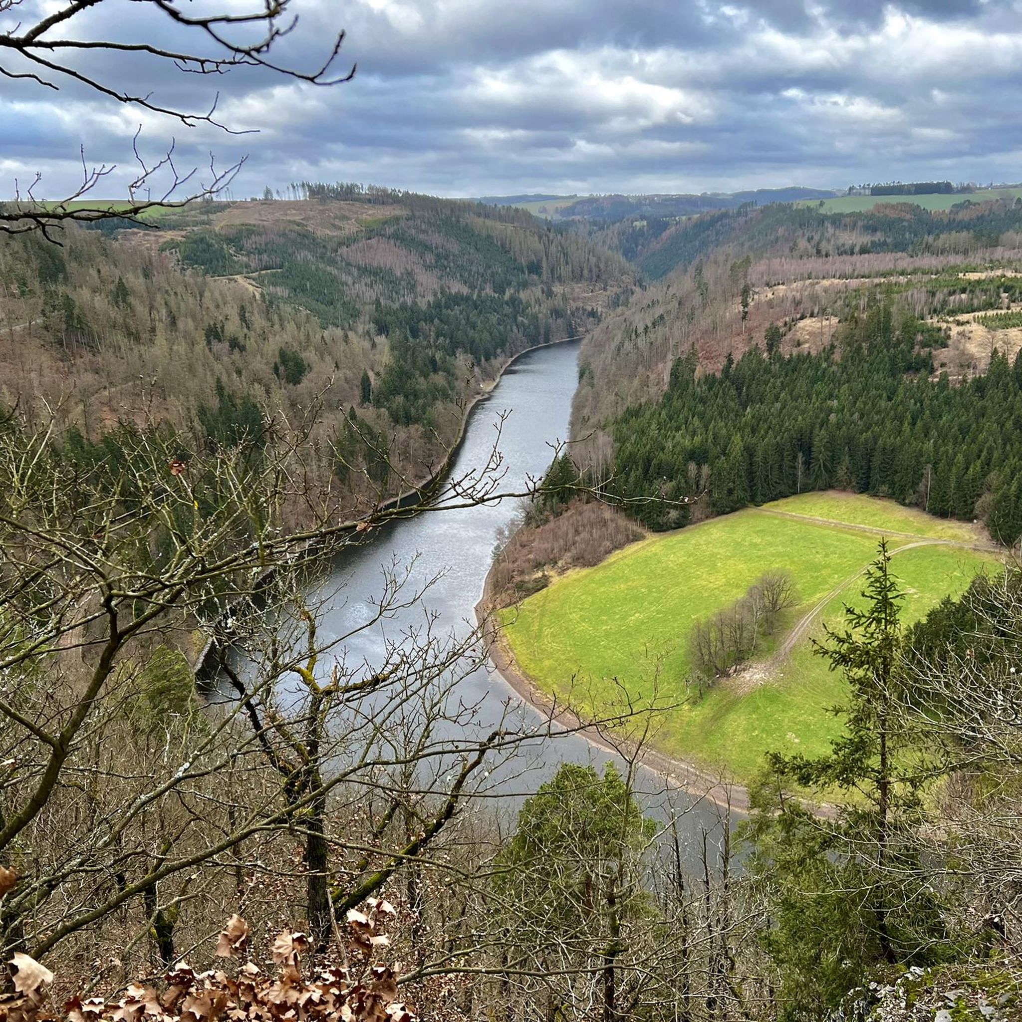
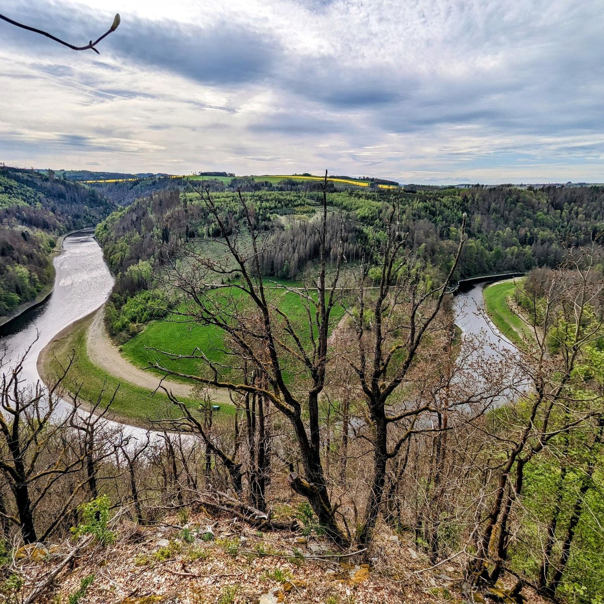
Jogging around Remptendorf offers diverse terrain, situated between the hills of the Thuringian Slate Mountains and the flatlands of the Orlasenke. The region features extensive trail networks through forests, along rivers like the Saale, and around reservoirs such as the Bleiloch Dam. These varied landscapes provide options for different running preferences, from gentle riverside paths to more challenging routes with elevation changes.
Best jogging routes around Remptendorf
- The most popular jogging route is Running loop from Lückenmühle, a 2.9…
Last updated: October 11, 2026
5.0
(1)
9
runners
4.67km
00:30
60m
60m
Easy run. Great for any fitness level. Mostly paved surfaces. Suitable for all skill levels.
3.3
(3)
14
runners
7.81km
00:52
70m
70m
Moderate run. Good fitness required. Mostly paved surfaces. Suitable for all skill levels.

5.0
(1)
9
runners
12.7km
01:28
210m
210m
Moderate run. Good fitness required. Mostly paved surfaces. Suitable for all skill levels.
4.0
(2)
5
runners
Hard run. Good fitness required. Sure-footedness, sturdy shoes and alpine experience required.
5.0
(1)
10
runners
13.2km
01:27
170m
170m
Moderate run. Good fitness required. Mostly paved surfaces. Suitable for all skill levels.
Get access to more routes and recommendations from other explorers.
Already have an account?
Our route recommendations are based on thousands of hikes, rides, and runs completed by other people on komoot.
Start today with a free account
Your next adventure awaits.
Tips from the Community

Hotel am Schloßberg seen from the island with the mother-child health resort
0
0

I'm seeing these more and more often: very nice and practical. Great idea.
0
0

It's simply cool here in Ziegenrück 🐐♥️. Many hiking and biking tours start from here.🥾🥾🌲🌳⛰️🚴🏼♂️🚴🏻♀️😎🌞
0
0

Asphalted cycle path Ziegenrück/Paska, moderate incline/decline 👍, great!
0
0

The Ziegenrück Slate Fold, also known as the Kulm Fold, is an impressive geological natural monument in the Saale Valley, about 100 meters north of Ziegenrück. It provides a fascinating insight into the tectonic structure of the Thuringian Slate Mountains. The Lower Carboniferous rocks visible here, such as shale and greywacke, were deposited around 335 million years ago and formed into impressive fold structures by the Variscan orogeny. Particularly striking is the approximately 30-meter-wide anticline, whose southeastern limb is almost vertical. A popular excursion destination for geoscience students, the slate fold offers ideal conditions for precisely determining the spatial positions of rocks and their foliation using a geological compass – a practical learning environment in the heart of nature.
0
0

The dam was declared a historical landmark of engineering in Germany in 2016.
9
0

Super interesting and very informative. Technical data and the pumped storage power plant are listed.
24
0
Frequently Asked Questions
How many running routes are available around Remptendorf?
There are over 140 running routes in the Remptendorf area, catering to various fitness levels and preferences. These include easy paths, moderate trails, and more challenging routes with significant elevation changes.
Are there easy running paths suitable for beginners in Remptendorf?
Yes, Remptendorf offers several easy running paths perfect for beginners or those looking for a gentle jog. For example, the Running loop from Lückenmühle is an easy 2.9-mile (4.7 km) trail that takes about 30 minutes to complete.
What kind of landscapes can I expect to see while running in Remptendorf?
Remptendorf's running routes offer a diverse range of landscapes. You can expect to run through the hills of the Thuringian Slate Mountains, along the scenic Saale River, and around reservoirs that form part of the Thuringian Sea, such as the Bleiloch Dam. The region also borders the Frankenwald Nature Park, providing extensive forest trails.
Are there any circular running routes in the Remptendorf area?
Yes, many of the running routes around Remptendorf are circular, allowing you to start and finish at the same point. A popular option is the Ruhteich loop from Ruppersdorf, a moderate 7.9-mile (12.7 km) path that offers varied scenery.
What interesting sights or natural landmarks can I discover along the running routes?
While running, you can encounter various natural and historical landmarks. Routes often pass by parts of the Thuringian Sea, offering views of the Bleiloch Reservoir. You might also find trails near the Lehesten Slate Quarry Industrial Heritage Site or natural rock formations like Kobersfelsen. The region's rich history is also reflected in nearby sites like Oppurg Castle or Lobenstein Castle Ruins, which can be points of interest on longer excursions.
Are the running routes around Remptendorf suitable for families?
Many routes in Remptendorf are suitable for families, especially the easier and flatter sections along the Saale River or around the reservoirs. These paths often provide a pleasant environment for a family jog or walk, though specific routes should be checked for length and elevation to match your family's fitness level.
Can I bring my dog on the running trails in Remptendorf?
Generally, dogs are welcome on many outdoor trails in the Remptendorf region, especially in natural areas like the Frankenwald Nature Park and along river paths. However, it's always advisable to keep your dog on a leash, especially in nature reserves or agricultural areas, and to check local regulations for specific trails.
What do other runners say about the trails in Remptendorf?
The running routes in Remptendorf are highly rated by the komoot community, with an average score of 4.4 stars from over 150 reviews. Runners often praise the diverse terrain, the beautiful views of the Thuringian Sea, and the well-maintained paths that cater to all ability levels.
Are there running routes near water bodies like lakes or rivers?
Absolutely. Remptendorf is nestled near the Thuringian Sea, which includes the Bleiloch Dam and Hohenwarte Reservoir, offering stunning lakeside routes. The Green Rock – Bleiloch Dam loop from Remptendorf is a great example. Additionally, sections of the Saale Cycle Path provide flat, scenic jogging opportunities along the Saale River, such as The Saale River in Ziegenrück – Schieferfalte Ziegenrück loop from Ziegenrück.
What is the best time of year to go running in Remptendorf?
Remptendorf offers excellent running conditions throughout much of the year. Spring and autumn provide pleasant temperatures and beautiful scenery with blooming flowers or vibrant fall foliage. Summer is also great, especially for shaded forest trails or early morning/late evening runs. Even in winter, some well-maintained paths can be suitable for jogging, offering a serene, snow-covered landscape.
Are there any longer running routes for experienced runners?
Yes, experienced runners looking for a challenge will find several longer routes with significant elevation changes. The region's proximity to the Thuringian Slate Mountains means there are trails that offer more strenuous climbs and descents. The Ruhteich loop from Ruppersdorf, at 7.9 miles (12.7 km) with over 200 meters of elevation gain, is a good moderate option, and more difficult routes are also available.
Can I find running routes that pass by historical sites?
While most routes focus on natural beauty, the region's history is never far. You can plan your run to pass near historical points of interest like the impressive 13th-century Lobenstein Castle Ruins or the ancient Mildenfurth Monastery, adding a cultural dimension to your outdoor activity. The Lehesten Slate Quarry Industrial Heritage Site is another historical landmark that some trails might approach.
Most popular routes around Remptendorf
Most popular attractions around Remptendorf

Get inspired with the komoot mobile app


Explore more
Browse the best Running Trails & Routes in other regions.
