The best running trails around Larré
4.6
(20)
3,122
runners
195
runs
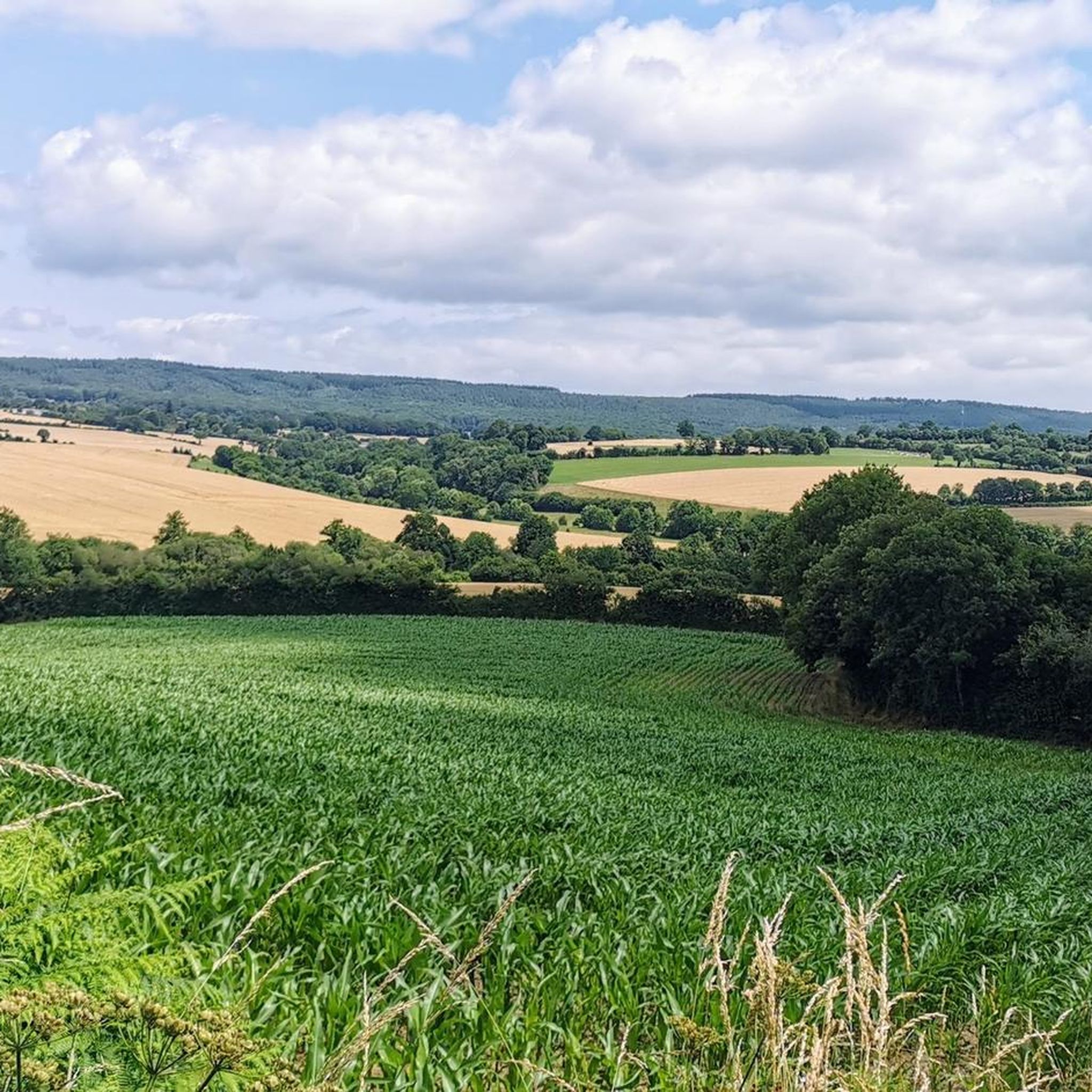
Jogging routes Larré offer a dynamic experience through varied natural features. The region is characterized by wooded and slightly hilly terrain, providing natural inclines and descents. The Arz River meanders through meadows, forming the commune's northern border and creating scenic running routes. Hedgerow landscapes and a communal pond further contribute to the diverse scenery for runners.
Best jogging routes around Larré
- The most popular jogging route is Étang de Radon loop from Écouves, a 7.2 miles (11.6 km) trail…
Last updated: July 5, 2026
137
runners
11.6km
01:31
310m
310m
Hard run. Very good fitness required. Mostly accessible paths. Some sure footedness required.
80
runners
29.3km
03:49
660m
660m
Hard run. Very good fitness required. Sure-footedness, sturdy shoes and alpine experience required.

Sign up for free
56
runners
33.4km
04:20
810m
810m
Hard run. Very good fitness required. Sure-footedness, sturdy shoes and alpine experience required.
52
runners
27.2km
03:25
560m
560m
Hard run. Very good fitness required. Mostly accessible paths. Some sure footedness required.
3.0
(1)
20
runners
15.6km
02:03
420m
420m
Hard run. Very good fitness required. Mostly accessible paths. Some sure footedness required.
Get access to more routes and recommendations from other explorers.
Sign up for free
Already have an account?
Our route recommendations are based on thousands of hikes, rides, and runs completed by other people on komoot.
Start today with a free account
Your next adventure awaits.
Login or Signup




Tips from the Community

2 perforations visible on the 12th photo of the Sherman M4A2 "Valois"
0
0

The Écouves national forest is located in the Normandy-Maine Regional Natural Park. It is home to abundant game, sessile oaks, beeches and Scots pines, over 15,000 hectares. Its highest point is the Écouves signal, which rises to an altitude of 413 meters. It is the highest peak in Normandy.
1
0

If you are looking for a unique destination in Normandy, you should stop to see the Sherman tank in La Ferrière-Béchet. This is an American tank from World War II that was abandoned in the Ecouves forest after being hit by a German shell in August 1944. The tank is today covered in moss and vegetation, creating a striking contrast with its metal structure.
2
0

The Rochers du Vignage belong to a rocky ridge of Grès de May culminating at 346m
0
0
The signal d'Écouves, at an altitude of 413 m, is the highest point in Normandy and the second highest peak in the Armorican Massif. Source: Wikipedia
2
0

The Signal d'Ecouves is the highest point in the forest of Ecouves. Difficult to access, it clearly shows the difficulty of mountain biking in this environment.
1
0
The Rocher du Vignage, located along a course of the Radon trail, offers us a very pleasant view of the Ecouves forest
1
0

This Sherman tank was part of the 2nd armored division of General Leclerc.It belonged to the Roumianzoff detachment that had just liberated Alençon ... It was destroyed at a place called "Gateys" by an anti tank gun of the 9th Panzerdivision was hidden in the Ecouves forest ....
7
0
Frequently Asked Questions
How many running routes are available in Larré?
Larré offers a wide selection of running opportunities, with over 160 routes available for you to explore. These range from easy strolls to challenging long-distance runs.
What kind of terrain can I expect when jogging in Larré?
Jogging in Larré provides a dynamic experience through its varied natural features. You'll encounter
wooded and slightly hilly terrain, offering natural inclines and descents. The Arz River meanders through beautiful meadows, creating scenic routes, and the area is also characterized by picturesque hedgerow landscapes and a tranquil communal pond.
What do other runners enjoy most about jogging in Larré?
The running routes in Larré are highly rated by the komoot community, with an average score of 4.7 stars from over 17 reviews. Runners often praise the diverse and engaging terrain, from rolling hills to lush woodlands, and the peaceful, natural environment.
Are there routes suitable for beginners or those looking for an easy run?
Yes, Larré offers several routes perfect for beginners or those seeking a more relaxed pace. There are 8 easy routes available, allowing you to enjoy the beautiful scenery without excessive challenge.
Are there any challenging running options for experienced athletes?
Absolutely. For experienced runners seeking a challenge, Larré boasts 46 difficult routes. One such option is the Sherman tank – Le signal d'Écouves loop from Écouves, a demanding 33.4 km trail with over 800 meters of elevation gain, typically completed in about 4 hours 20 minutes.
Are there any circular running routes in Larré?
Many of the trails in Larré are designed as loops, perfect for circular running. The region research highlights circuits like the 9.7 km 'Circuit of the Noë des Dames' which is ideal for jogging through hedgerow and wood, and other local loops such as the 'Croix de Saint-Christophe – Saint-Aignan Fountain loop'.
What natural scenery or points of interest can I expect to see along the running routes?
While running in Larré, you can enjoy the serene Arz River, picturesque hedgerow landscapes, and a peaceful communal pond. For specific landmarks, consider routes that pass near the Castle of the Dukes of Alençon or the Carrefour du Chêne au Verdier. The Greenway from La Mele-sur-Sarthe to Alencon also offers a scenic path.
Can I bring my dog on the running trails in Larré?
Larré's rural setting often makes it welcoming for dogs. While specific regulations can vary by trail, generally, dogs are permitted on many outdoor paths, especially if kept on a leash. It's always a good idea to check local signage or specific route details on komoot for any restrictions.
Are there family-friendly running paths in Larré?
Yes, Larré offers several shorter, less strenuous loops that are suitable for families. These paths allow everyone to enjoy the natural beauty of the area. Look for the easy-rated routes on komoot for the most family-friendly options.
Is there parking available near the running trails in Larré?
While specific parking areas are not detailed for every trailhead, Larré, being a rural town, typically offers parking facilities in or near its village center and at popular trail starting points. It's advisable to check the starting point of your chosen route on komoot for more precise parking information.
How can I reach the running routes in Larré by public transport?
Larré is a rural town, and public transport options might be limited. It's recommended to check local bus schedules or regional transport services for connections to Larré. Often, the most convenient way to access trailheads in such areas is by car.
What is the best time of year for running in Larré?
The spring and autumn months are generally ideal for running in Larré, offering pleasant temperatures and beautiful scenery as the landscape changes. Summer can also be enjoyable, especially in the mornings or evenings, while winter runs might require appropriate gear for cooler, potentially wetter conditions.
Most popular attractions around Larré

Get inspired with the komoot mobile app


Explore more
Browse the best Running Trails & Routes in other regions.
