The best running trails around Birkenhügel
4.5
(130)
1,714
runners
132
runs
Jogging around Birkenhügel offers a diverse landscape characterized by dense forests, river valleys, and the expansive Bleiloch Reservoir. The region features varied terrain, from gentle paths along waterways to more challenging ascents through wooded areas. These running routes provide opportunities to explore the natural beauty of the area, including scenic viewpoints and historical trails.
Best jogging routes around Birkenhügel
- The most popular jogging route is View of Hirschsprung Rock – 👹 Höllental (Hell Valley) loop from Rosenthal am Rennsteig,…
Last updated: October 9, 2026
19
runners
Hard run. Very good fitness required. Mostly paved surfaces. Suitable for all skill levels.
5.0
(1)
9
runners
15.1km
01:45
290m
290m
Hard run. Very good fitness required. Sure-footedness, sturdy shoes and alpine experience required.

5.0
(2)
6
runners
24.3km
02:39
440m
440m
Hard run. Very good fitness required. Mostly paved surfaces. Suitable for all skill levels.
5.0
(1)
7
runners
7.21km
00:50
120m
120m
Moderate run. Good fitness required. Mostly paved surfaces. Suitable for all skill levels.
3.8
(4)
9
runners
13.5km
01:31
230m
230m
Moderate run. Good fitness required. Mostly paved surfaces. Suitable for all skill levels.
Get access to more routes and recommendations from other explorers.
Already have an account?
Our route recommendations are based on thousands of hikes, rides, and runs completed by other people on komoot.
Start today with a free account
Your next adventure awaits.
Tips from the Community

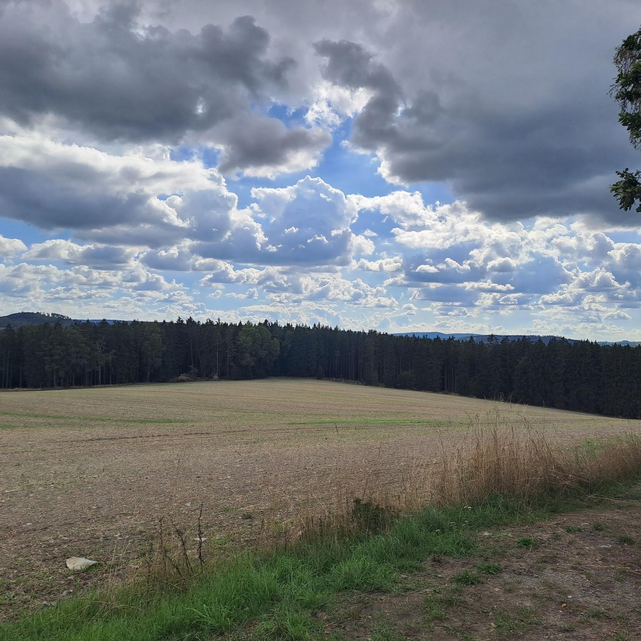
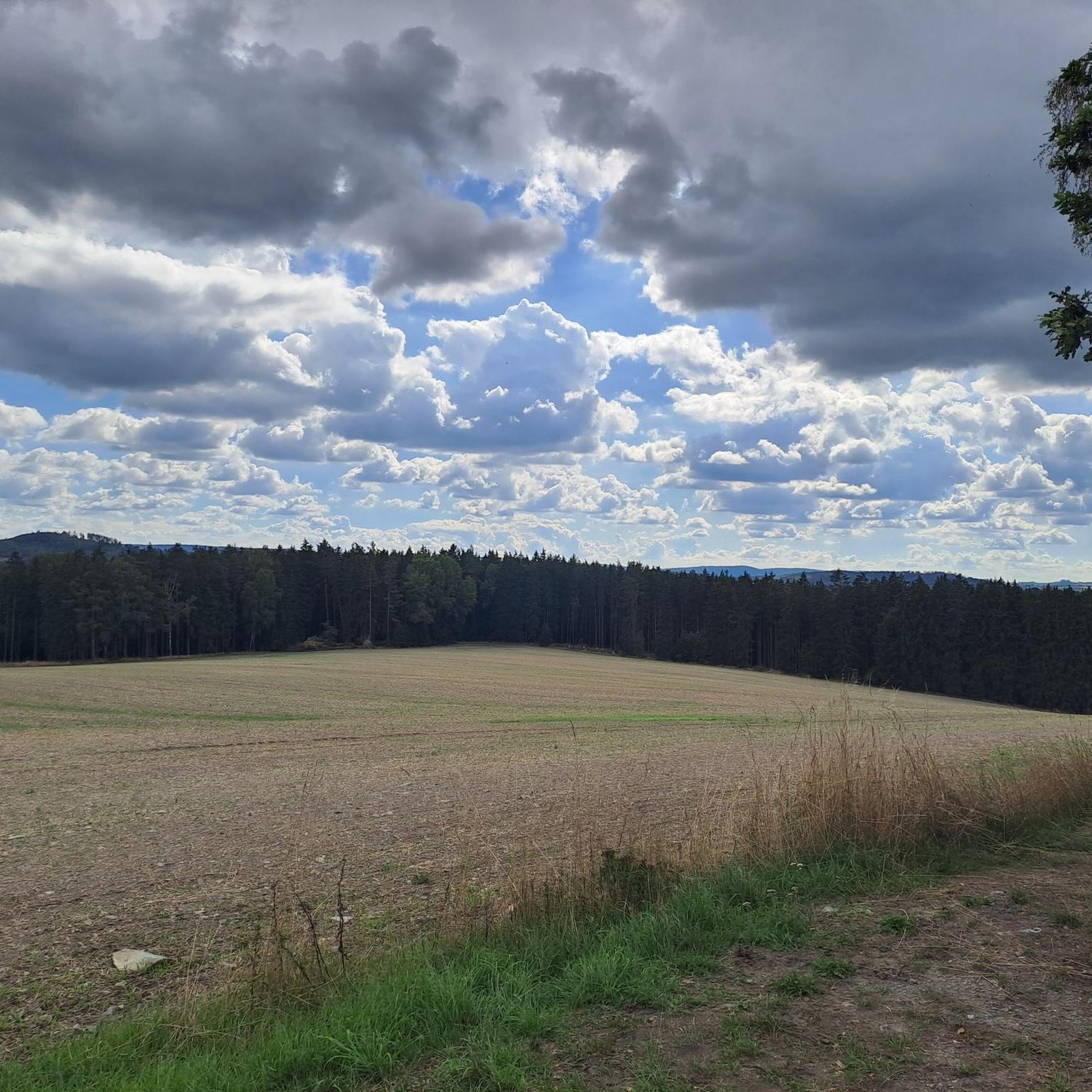
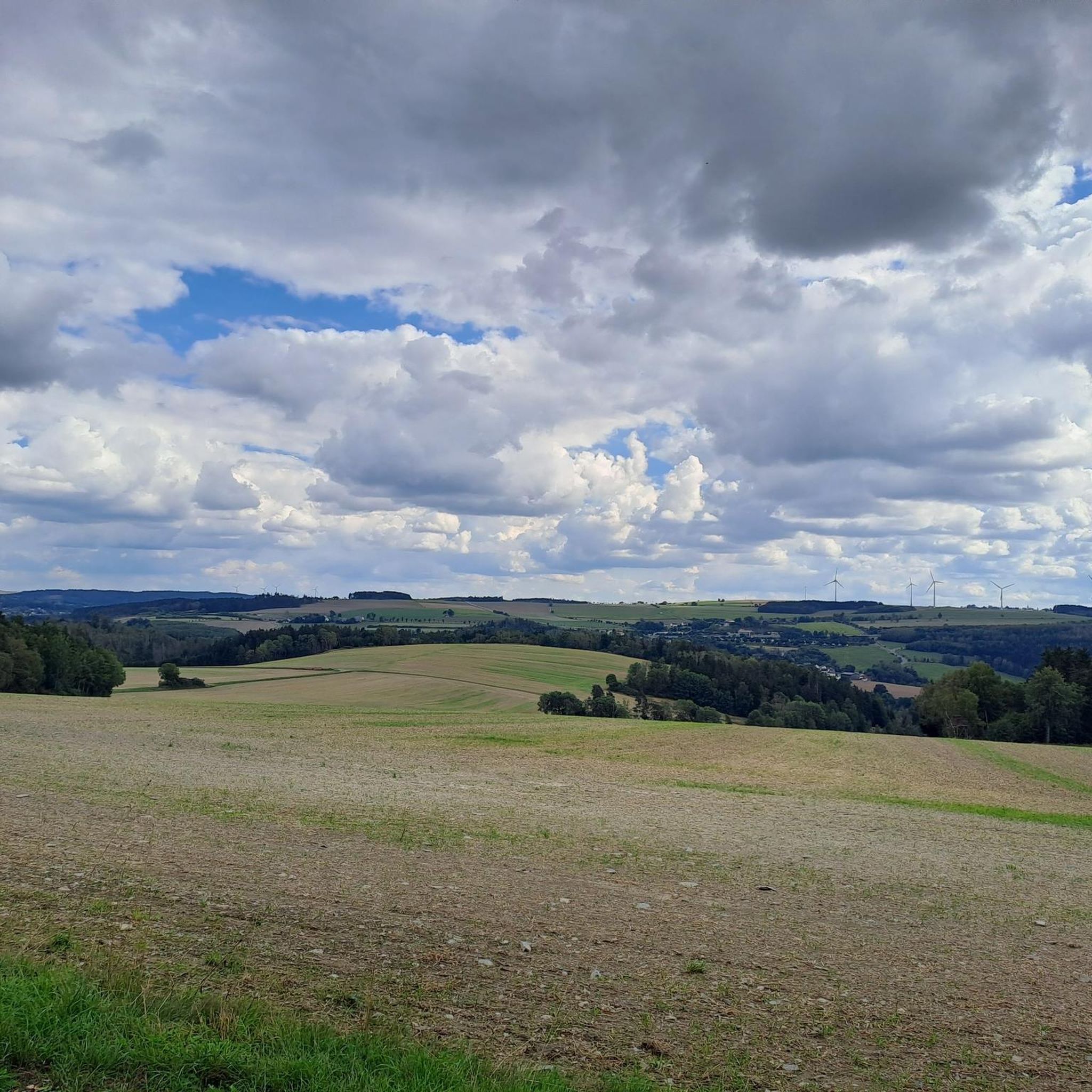
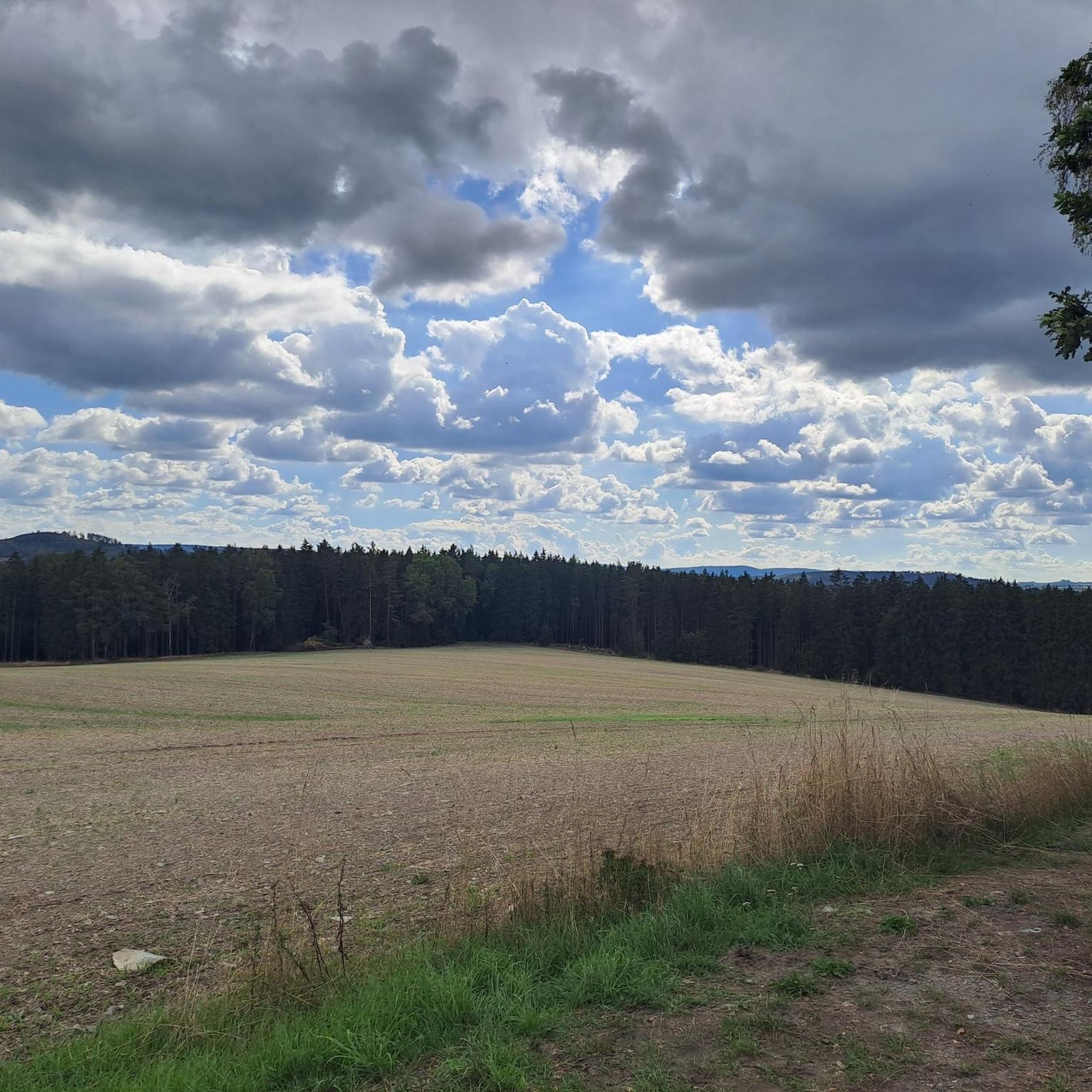
I was there in autumn, it was quiet then. But in summer it must be very beautiful there.
0
0

The view would be even more beautiful if the water were clear.
0
0

Here, not only is hunger between meals catered for, but you can also take a boat trip on the reservoir 🚤🛶
0
0

The Rennsteig Trail ends at this bridge—the border between Thuringia and Bavaria. Here, the pebbles collected from the Werra in Hörschel are transferred to the Selbitz River.
9
0

The Selbitzplatz in Blankenstein is an important hiking base and is often referred to as the "hub of hiking." Several well-known long-distance hiking trails converge here, including the Rennsteig, the Kammweg, the Frankenweg, and the Franconian Mountain Trail. A special highlight at the Selbitzplatz is the Rennsteigschuh (Rennsteig Shoe) – an oversized sculpture in the shape of a hiking boot with an integrated slide. This unique play structure was specially developed for the Rennsteig and offers young hikers a great opportunity to climb and play.
0
0


The end or beginning of the Rennsteig
1
0

The Heinrichstein is a jagged rock massif with a viewpoint at a height of around 500 m on the western slope of the Saale valley in the upper part of the Bleiloch dam. The beauty of the view from the Heinrichstein, even before the Bleiloch dam was built, was praised by Ludwig Ganghofer in two poems in 1912. It probably takes its name from the Lords of Reuss, who all had the nickname Heinrich since the 12th century.
5
0
Frequently Asked Questions
How many running routes are available in Birkenhügel?
Birkenhügel offers a wide selection of running routes, with over 140 trails to explore. These include a variety of easy, moderate, and difficult options, catering to all fitness levels.
Are there easy jogging routes suitable for beginners in Birkenhügel?
Yes, Birkenhügel has several easy jogging routes perfect for beginners. While specific easy routes aren't detailed here, the region's diverse terrain includes gentle paths along waterways, which are ideal for a relaxed run. Overall, there are 13 easy routes available.
What kind of terrain can I expect on the running trails around Birkenhügel?
The running trails in Birkenhügel feature a diverse landscape, characterized by dense forests, picturesque river valleys, and the expansive Bleiloch Reservoir. You'll encounter varied terrain, from gentle paths along waterways to more challenging ascents through wooded areas.
Are there any circular running routes in Birkenhügel?
Many of the running routes in Birkenhügel are designed as loops, offering convenient circular options. For example, the View of Hirschsprung Rock – 👹 Höllental (Hell Valley) loop from Rosenthal am Rennsteig is a popular circular trail, as is the Pferdebahn Trail loop from Harra.
What do other runners enjoy most about the trails in Birkenhügel?
The running trails in Birkenhügel are highly rated by the komoot community, with an average score of 4.5 stars from over 120 reviews. Runners often praise the region's varied terrain, scenic views, and the opportunity to explore natural beauty, including river paths, reservoir views, and dense woodlands.
Are there any advanced running trails for experienced runners?
Absolutely. Birkenhügel offers 29 difficult running routes for those seeking a challenge. Trails like the Bleiloch Reservoir, Saalburg – Saaldorf Saale Bridge loop from Saaldorf provide a demanding experience with significant elevation changes and longer distances.
What are some scenic viewpoints or landmarks I can see while jogging?
Many routes offer scenic views. The View of Hirschsprung Rock – 👹 Höllental (Hell Valley) loop from Rosenthal am Rennsteig provides stunning vistas of Hirschsprung Rock and the Höllental valley. You can also find interesting natural and historical sites nearby, such as the Rosenbühl Summit and Shelter or the Wenzel Cave.
Are there any running routes that pass by the Bleiloch Reservoir?
Yes, the Bleiloch Reservoir is a prominent feature of the region. The Bleiloch Reservoir, Saalburg – Saaldorf Saale Bridge loop from Saaldorf is a prime example, leading directly through this scenic area and offering beautiful water views during your run.
Is it possible to access jogging paths in Birkenhügel using public transport?
While specific public transport connections to trailheads are not detailed here, Birkenhügel is a region in Thuringia, Germany. It's advisable to check local public transport schedules for buses or trains that might serve towns like Rosenthal am Rennsteig, Harra, or Saaldorf, which are common starting points for many routes.
Are there parking facilities available near the running trails?
Yes, for many popular trailheads in Birkenhügel, you can typically find parking facilities. Towns like Rosenthal am Rennsteig, Harra, and Saaldorf, which serve as starting points for several routes, usually offer designated parking areas for visitors. It's recommended to check specific route details on komoot for parking information at individual trailheads.
Can I find running routes that are suitable for families with children?
While the guide doesn't specifically label routes as 'family-friendly,' the presence of 13 easy routes suggests there are options with gentler terrain and shorter distances that could be suitable for families. Look for routes described as 'easy' or those along river paths for a more relaxed experience.
What is the best time of year to go running in Birkenhügel?
Birkenhügel offers beautiful running conditions throughout much of the year. Spring and autumn provide pleasant temperatures and vibrant scenery, especially with the changing leaves. Summer is also popular, though some forest trails offer shade. Winter running is possible, but conditions may vary, with some trails potentially being icy or snowy.
Most popular attractions around Birkenhügel

Get inspired with the komoot mobile app


Explore more
Browse the best Running Trails & Routes in other regions.
