The best running trails around Unterbodnitz
4.5
(395)
3,904
runners
268
runs
Jogging routes around Unterbodnitz traverse a diverse landscape characterized by rolling hills, expansive meadows, and dense forests. The region offers varied terrain, including paths along the Saale River and trails with elevation changes. These running routes provide opportunities to explore the natural features of the Thuringian Forest foothills. The network of trails caters to different fitness levels, from gentle riverside paths to more challenging ascents.
Best jogging routes around Unterbodnitz
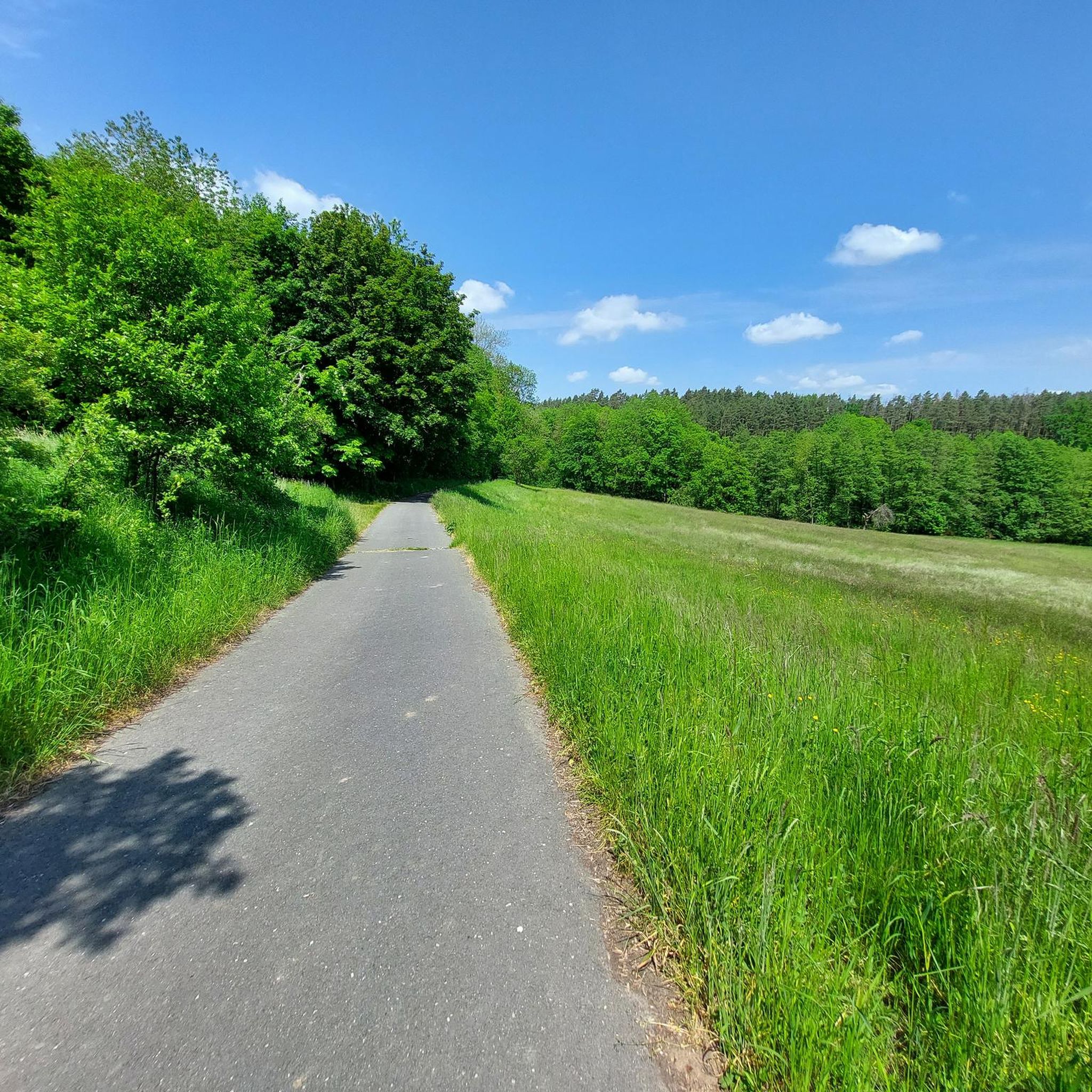
- The most popular jogging route is Grassy Field Near Jena…
Last updated: July 1, 2026
5.0
(1)
8
runners
10.4km
01:08
140m
140m
Moderate run. Good fitness required. Mostly paved surfaces. Suitable for all skill levels.
4.1
(7)
11
runners
4.76km
00:30
50m
50m
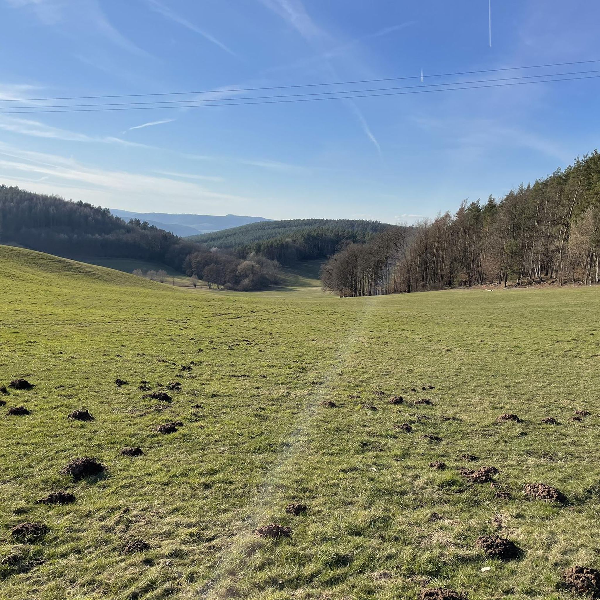
Easy run. Great for any fitness level. Mostly paved surfaces. Suitable for all skill levels.

Sign up for free
10
runners
9.22km
00:58
70m
70m
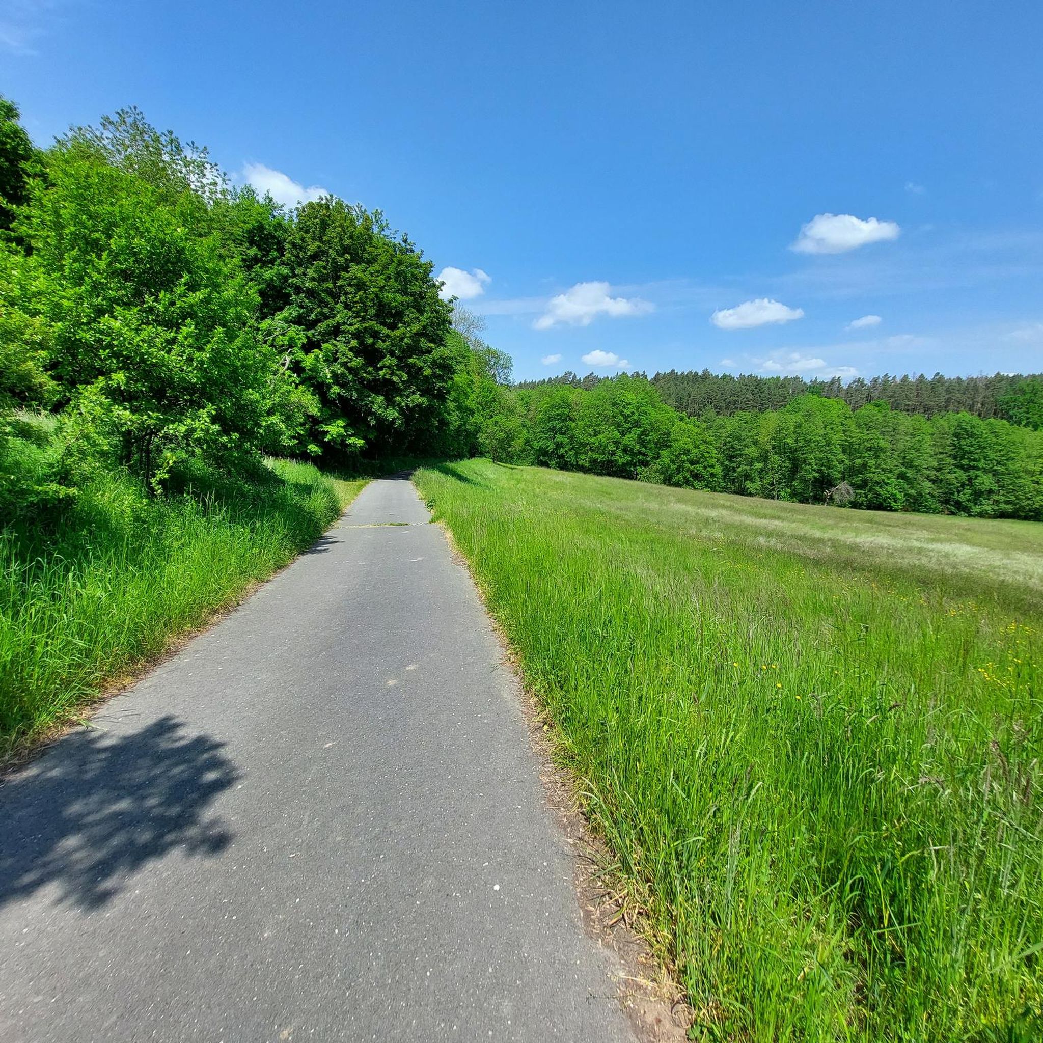
Moderate run. Good fitness required. Mostly paved surfaces. Suitable for all skill levels.
5.0
(1)
7
runners
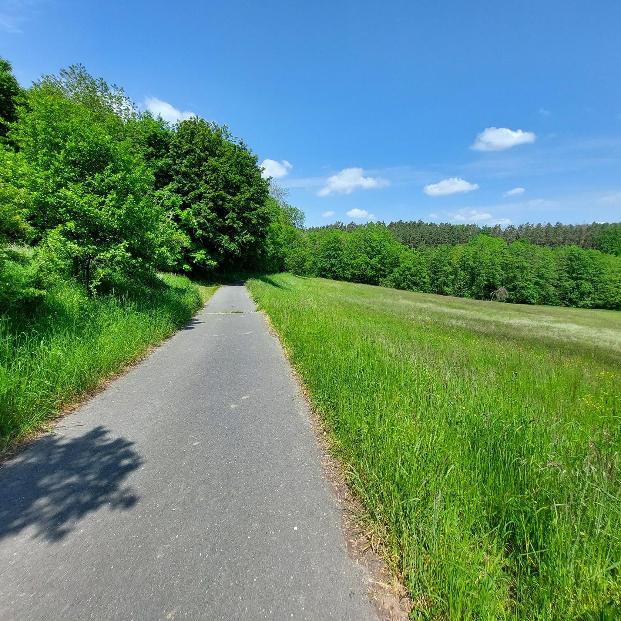
Moderate run. Good fitness required. Mostly paved surfaces. Suitable for all skill levels.
5.0
(1)
7
runners
Hard run. Good fitness required. Sure-footedness, sturdy shoes and alpine experience required.
Get access to more routes and recommendations from other explorers.
Sign up for free
Already have an account?
Our route recommendations are based on thousands of hikes, rides, and runs completed by other people on komoot.
Start today with a free account
Your next adventure awaits.
Login or Signup
Tips from the Community

A wonderful view over to the church of Rothenstein
1
0

The spring rises here under a tree, right next to the robber's cave.
2
0


This is a great place to take a short break.
2
1

The Saale flows leisurely through the landscape near Maua. From the bridge you have a nice view and with a bit of luck you can wave to a few boaters.
5
0

Now in July 2023 it is still standing and is newly integrated into the road network even after the dismantling of the remaining bypass, in my opinion the bridge will remain as an agricultural and cycle path bridge.
2
0

The bridge was part of a complex car detour around Oelknitz/ Rothenstein. The route will be restored. You can still pass the bridge (May 2023) and offer a different view than the normal bike path over Jägersdorf.
2
0

The largest cities on the Saale are Halle with around 240,000 inhabitants, Jena with around 110,000 inhabitants and Hof with almost 50,000 inhabitants.
16
1
Frequently Asked Questions
How many running routes are available around Unterbodnitz?
There are over 260 diverse running routes around Unterbodnitz, catering to various preferences and fitness levels. These include easy riverside paths and more challenging trails with significant elevation changes.
Are there easy running routes suitable for beginners or families?
Yes, Unterbodnitz offers several easy running routes perfect for beginners or families. For instance, the Saale River – Schöps Information Point loop from Großpürschütz is an easy 3.0-mile path that follows the scenic Saale River.
Can I find challenging trail running options near Unterbodnitz?
Absolutely. The region, nestled at the foot of the Thuringian Forest, is known for its diverse terrain, including designated 'trail running' routes with significant elevation changes. Areas like the Oelknitzer Grund, Roten Berg, and Suppiche offer challenging experiences for those seeking more intense runs.
What kind of terrain can I expect on the jogging trails?
The jogging trails around Unterbodnitz feature a varied landscape of rolling hills, expansive meadows, and dense forests. You'll find a mix of forest-rich paths providing ample shade, open fields, and picturesque riverside trails along the Saale River.
Are the running routes around Unterbodnitz dog-friendly?
Many of the natural paths and forest trails around Unterbodnitz are suitable for running with dogs. The varied terrain and open spaces provide a great environment for you and your canine companion to enjoy. Always ensure your dog is under control and check local regulations regarding leashes.
Are there circular running routes available?
Yes, many of the running routes in the area are circular, allowing you to start and end at the same point. An example is the Saale River – Saaleradweg loop from Schöps, a moderate 6.3-mile route offering riverside views.
What natural features or attractions can I see while running?
While running, you can encounter various natural and historical attractions. Highlights include the Thieves' Crag landslide, the serene Prince's Spring, and the beautiful Orchid Meadow in Leutratal. The Grassy Field Near Jena – Helenenstein Historical Site loop from Schöps also offers historical points of interest.
Is it possible to reach the running trails by public transport?
While specific public transport connections to every trailhead may vary, the region around Unterbodnitz is generally accessible. For routes starting in larger nearby towns like Jena, public transport options are more readily available. It's advisable to check local bus or train schedules for specific starting points.
Where can I park my car when accessing the running routes?
Parking is generally available near trailheads in and around Unterbodnitz, especially in smaller villages or designated recreational areas. Many routes, like those starting from Schöps or Rothenstein, have convenient parking options nearby. Look for signs indicating public parking.
What do other runners say about the trails in Unterbodnitz?
The running routes in Unterbodnitz are highly rated by the komoot community, with an average score of 4.5 stars from over 360 reviews. More than 4000 runners have explored the varied terrain, often praising the scenic beauty, well-maintained paths, and the peaceful atmosphere of the forests and riverside trails.
Are there any running routes along the Saale River?
Yes, the Saale River is a prominent feature of the landscape, and several excellent running routes follow its course. The Saale River – Saaleradweg loop from Rothenstein is a popular 5.7-mile trail that leads through beautiful riverside landscapes.
What is the best time of year for running in Unterbodnitz?
The region offers great running conditions throughout the year. Spring brings blooming nature and pleasant temperatures, while summer provides ample shade on forest paths. Autumn offers stunning foliage, and even winter can be beautiful for running, especially on cleared paths, though some trails might be more challenging due to snow or ice.
Most popular attractions around Unterbodnitz

Get inspired with the komoot mobile app


Explore more
Browse the best Running Trails & Routes in other regions.
