The best running trails around Villers-Aux-Nœuds
4.5
(129)
14,842
runners
465
runs
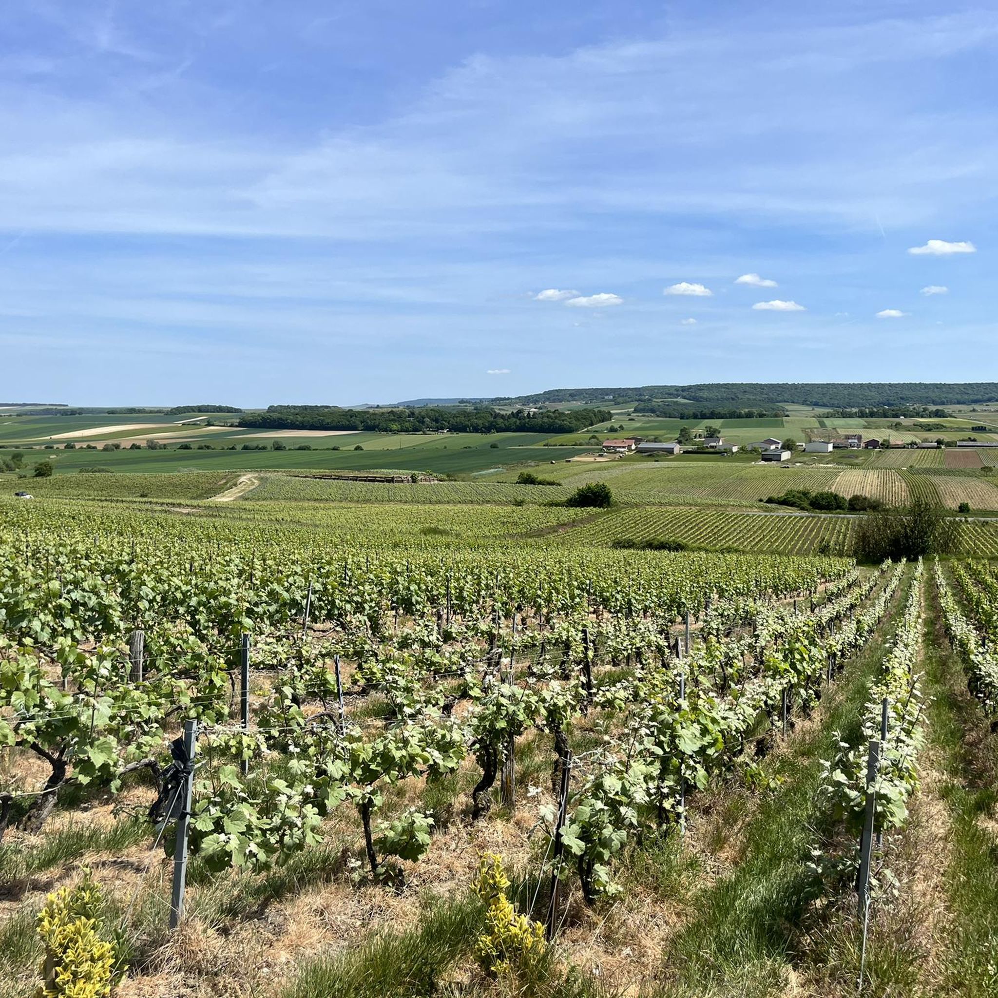
Jogging around Villers-Aux-Nœuds offers routes through a landscape characterized by extensive vineyards, particularly those growing Pinot Noir, Pinot Meunier, and Chardonnay grapes. The village is situated within the Parc naturel régional de la Montagne de Reims, providing diverse terrain including wooded hills and open agricultural land. Runners can explore paths winding through these vineyards and accessible forests, offering varied natural environments. This region provides a mix of relatively gentle vineyard paths and more challenging woodland trails.
Best jogging routes around…
Last updated: July 1, 2026
13
runners
81.1km
09:10
830m
830m
Hard run. Very good fitness required. Mostly accessible paths. Some sure footedness required.
25
runners
14.9km
01:34
60m
60m
Moderate run. Good fitness required. Mostly paved surfaces. Suitable for all skill levels.

Sign up for free
45
runners
15.1km
01:34
70m
70m
Hard run. Very good fitness required. Mostly paved surfaces. Suitable for all skill levels.
8
runners
Hard run. Very good fitness required. Mostly paved surfaces. Suitable for all skill levels.
8
runners
5.15km
00:33
20m
20m
Moderate run. Good fitness required. Mostly paved surfaces. Suitable for all skill levels.
Get access to more routes and recommendations from other explorers.
Sign up for free
Already have an account?
Our route recommendations are based on thousands of hikes, rides, and runs completed by other people on komoot.
Start today with a free account
Your next adventure awaits.
Login or Signup
Tips from the Community

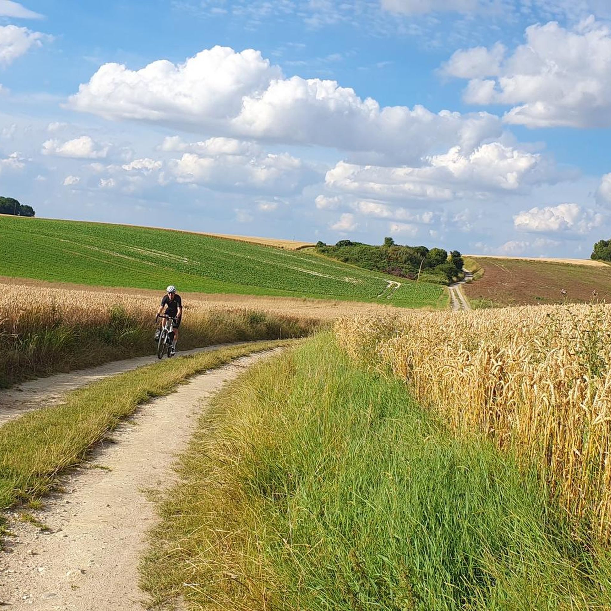
The Canal de l’Aisne à la Marne is a 58 km-long artificial canal connecting Berry-au-Bac to Condé-sur-Marne, a distance of 58 km. Inaugurated in 1866, it is part of Hugues Cosnier's grandiose plan for an orbital route from the Loire to northern France. The route is still used for commercial traffic, primarily grain transport, while recreational traffic consists primarily of private boats in transit. Along its banks runs the Coulée verte (the green corridor), an 18 km cycle/pedestrian path that crosses the entire metropolitan area of Reims from Pont de Vesle to Sillery.
1
0

The cycle path offers the possibility to park outside and cycle into the city in a relaxed manner.
0
0
The cycle path is absolutely suitable for racing bikes.
0
0

Under the central arch is a calendar depicting the activities and tasks of agriculture and viticulture: grape pressing, harvesting, etc. A calendar can be seen here through the carved reliefs. Under the eastern arch, we can see a she-wolf suckling Romulus and Remus. According to legend, it was Remus who founded Reims. Finally, under the western arch, we can see Leda being seduced by Jupiter.
1
0
This ancient monument is one of the longest in the Roman world: it is approximately 32 meters long and 12 meters high! The Mars Gate was built towards the end of the 2nd century and is the only one of the four monumental arches providing access to the city of Durocortorum that has survived. It consists of three arcades. The central arch carried the city's major north-south axis, intended for the passage of carriages. The two side arcades were used by pedestrians.
1
0

The monument survived destruction because it was walled up inside the Archbishop's castle in the 13th century, which inadvertently preserved it for future generations.
3
1
The Porte de Mars is a 3rd-century Roman monument in Reims, France, representing the widest arch in the entire Roman world at 33 meters long and 13 meters high. Originally built as one of four monumental arches at the cardinal entrances to ancient Durocortorum, it's the only surviving example of these grand structures. The arch features three decorated archways with intricate relief carvings, including scenes of Romulus and Remus with the she-wolf, agricultural calendars showing Gallic harvesters, and mythological figures like Leda and Zeus.
3
1

One of the most fascinating aspects of the Porte de Mars is the interior of the vaults, which, despite heavy wear, feature a rare depiction of a Gallic reaper as part of a calendar of agricultural labors. This series of medallions depicts various agricultural activities such as plowing, harvesting, and milling. Below the western arch, a square medallion depicts the legendary she-wolf suckling Romulus and Remus, watched by the shepherd Faustulus and Acca Larentia. This scene is said to symbolize the deep connection between Reims and Rome, with local legend stating that Reims was founded by Remus or his companions after their escape from Rome.
1
0
Frequently Asked Questions
How many running routes are available around Villers-Aux-Nœuds?
There are over 450 running routes available around Villers-Aux-Nœuds, offering a wide variety of options for all skill levels. This includes 51 easy routes, 336 moderate routes, and 64 difficult routes.
What kind of landscapes can I expect while jogging near Villers-Aux-Nœuds?
Jogging around Villers-Aux-Nœuds offers a diverse landscape primarily characterized by extensive vineyards, particularly those growing Pinot Noir, Pinot Meunier, and Chardonnay grapes. You'll also find shaded woodland trails within the Montagne de Reims regional natural park, providing a mix of open agricultural land and forested hills.
Are there any circular running routes available?
Yes, many of the running routes around Villers-Aux-Nœuds are circular. For example, you can enjoy the Running loop from Bezannes, a moderate 5.1 km path, or the Miroir d'eau loop from Champagne-Ardenne TGV, which is 14.9 km long and also moderate. Another option is the Écueil Village and Vineyards loop from Villers-aux-Nœuds, a moderate 10.8 km route.
What do other runners say about the trails in Villers-Aux-Nœuds?
The running routes in Villers-Aux-Nœuds are highly rated by the komoot community, with an average score of 4.4 stars from over 140 reviews. More than 18,000 runners have used komoot to explore the varied terrain, often praising the scenic vineyard paths and accessible forests.
Are the running trails in Villers-Aux-Nœuds suitable for families?
Yes, many routes are suitable for families, especially those looking for easier options. With 51 easy routes and 336 moderate routes, you can find paths that are less challenging and offer pleasant experiences through vineyards and forests. The Running loop from Bezannes is a shorter, accessible option that families might enjoy.
Can I bring my dog on the running trails?
Generally, dogs are welcome on many trails in the Montagne de Reims regional natural park, especially if kept on a leash. However, it's always best to check specific regulations for individual routes or protected areas, particularly when passing through vineyards or private land. Always ensure your dog is under control and clean up after them.
What are some interesting landmarks or attractions I might see near the running routes?
While running, you might encounter various points of interest. The Coulée Verte de Reims is a notable trail that connects to some routes. In nearby Reims, you can explore historical sites like Place Royale or the Mars Gate. For natural features, you could come across the Saint-Imoges Forest or the Mutigny Ponds.
Are there options for long-distance running or more challenging routes?
Absolutely. For those seeking a challenge, there are 64 difficult routes available. The Reims Cathedral (Notre-Dame de Reims) – Allée des Tilleuls loop from Champagne-Ardenne TGV is a significant option, covering 75.7 km and connecting major regional landmarks, making it ideal for long-distance runners.
How accessible are the running routes by public transport?
Villers-Aux-Nœuds is conveniently located near larger urban centers like Reims and Epernay, which have public transport links. Some routes, such as the Reims Cathedral (Notre-Dame de Reims) – Allée des Tilleuls loop from Champagne-Ardenne TGV and the Miroir d'eau loop from Champagne-Ardenne TGV, start from the Champagne-Ardenne TGV station, offering direct access for runners arriving by train.
When is the best time of year to go running in Villers-Aux-Nœuds?
The region offers beautiful scenery throughout the seasons. Spring and autumn are particularly pleasant for running, with mild temperatures and vibrant colors in the vineyards and forests. Summer can be warm, so early morning or late afternoon runs are recommended. Winter running is also possible, offering a different, often quieter, experience of the landscape.
Are there any routes that offer scenic viewpoints?
The Montagne de Reims, with its rolling hills and elevated positions, naturally offers many scenic viewpoints, especially over the vineyards. Routes winding through the vineyards, such as the Écueil Village and Vineyards loop from Villers-aux-Nœuds, provide picturesque vistas of the agricultural landscape and the surrounding countryside.
What is the typical terrain like on these running trails?
The terrain varies, offering a mix of experiences. You'll find relatively gentle paths through the extensive vineyards, often on well-maintained tracks. In the forested areas of the Montagne de Reims, trails can be more natural, with some elevation changes and potentially uneven surfaces, providing a more challenging and varied running experience.
Most popular routes around Villers-Aux-Nœuds
Most popular attractions around Villers-Aux-Nœuds

Get inspired with the komoot mobile app


Explore more
Browse the best Running Trails & Routes in other regions.
